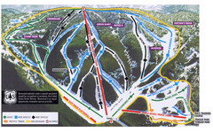
Bluewood Ski Trail Map
170 miles away
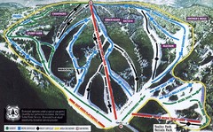
Bluewood Ski Trail Map
Trail map from Bluewood, which provides downhill, nordic, and terrain park skiing. It has 3 lifts...
170 miles away
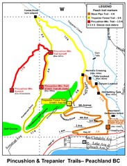
Peachland Walks Map
Guide to Pincushion and Trepanier Trails in Peachland, BC
171 miles away

Panorama Ski Area Trail Map
Guide to the Panorama Mountain Resort, outside Calgary, Canada
172 miles away
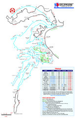
Telemark Cross Country Ski Trail Map
Trail map from Telemark Cross Country, which provides nordic skiing. This ski area has its own...
174 miles away
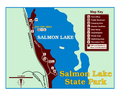
Salmon Lake State Park Map
Immediately adjacent to Montana 83, this park is an access point to one of the beautiful lakes in...
174 miles away
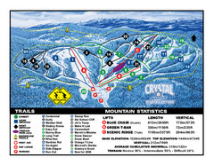
Crystal Mountain Resort Ski Trail Map
Trail map from Crystal Mountain Resort, which provides downhill skiing. This ski area has its own...
175 miles away
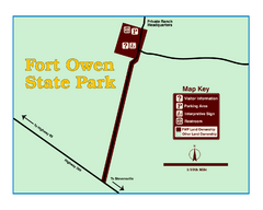
Fort Owen State Park Map
Fort Owen’s adobe and log remains preserves the site of the first permanent white settlement...
175 miles away
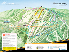
Silver Star Mountain Resort Summer Ski Trail Map
Trail map from Silver Star Mountain Resort.
175 miles away
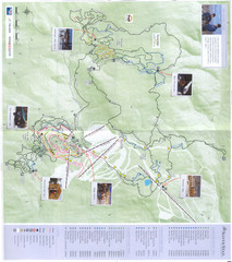
Silver Star Mountain Resort Nordic Ski Trail Map
Trail map from Silver Star Mountain Resort.
175 miles away

Alpine Mountain Trail Map
Ski trails on Alpine Mountain
176 miles away
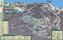
Sovereign Lake Nordic Ski Trail Map
Trail map from Sovereign Lake, which provides night and nordic skiing. This ski area has its own...
177 miles away
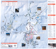
Sovereign Lake Ski Trail Map
Trail map from Sovereign Lake, which provides night and nordic skiing. This ski area has its own...
177 miles away
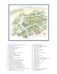
Whitman College Campus Map
Campus map of Whitman College in Walla Walla, WA
180 miles away
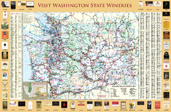
Washington State Winery Map
Washington State Winery Map
180 miles away
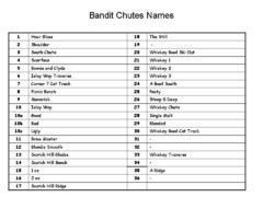
Fortress Bandit Chutes Run Names List Map
Trail map from Fortress, which provides downhill skiing.
180 miles away
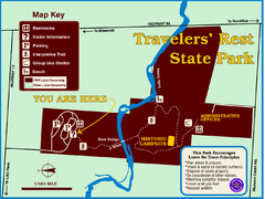
Travelers' Rest State Park Map
The Lewis and Clark expedition camped here twice during their historic journey to locate the...
183 miles away
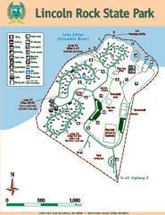
Lincoln Rock State Park Map
Map of park with detail of trails and recreation zones
183 miles away
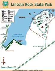
Lincoln Rock State Park Map
183 miles away
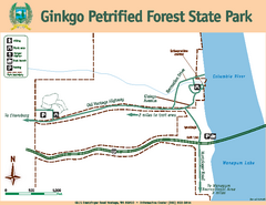
Ginkgo Petrified Forest State Park Map
Map of park with detail of trails and recreation zones
187 miles away
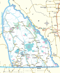
Kootenay Mountains Map
188 miles away
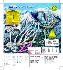
Nakiska Ski Resort Ski Trail Map
Trail map from Nakiska Ski Resort, which provides downhill skiing. This ski area has its own...
188 miles away
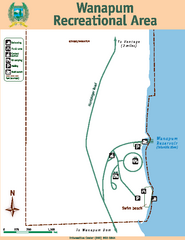
Wanapum Recreational Area Map
Map of park with detail of trails and recreation zones
188 miles away
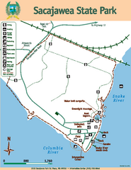
Sacajawea State Park Map
Map of park with detail of trails and recreation zones
190 miles away
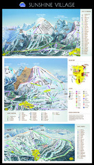
Sunshine Trail Map
Trail map of Sunshine Village
190 miles away
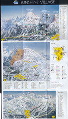
Banff’s Sunshine Village Ski Trail Map
Trail map from Banff’s Sunshine Village.
190 miles away
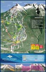
Revelstoke Ski Trail Map
Official ski trail map of Revelstoke ski area from the inaugural 2007-2008 season.
190 miles away
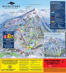
Revelstoke Ski Trail Map 2010-11
Ski trail map of Revelstoke Mountain Resort for the 2010-2011 season. Inset shows North Bowl area.
190 miles away
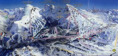
Sunshine Village Ski Trail Map
Official ski trail map of Sunshine Village ski area.
190 miles away
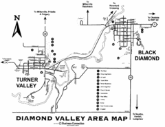
Diamond Valley Area Map
Map of Diamond Valley are, with Turner Valley & Black Diamond oil towns
190 miles away
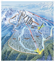
Revelstoke Ski Trail Map - North Bowl
Ski trail map of the North Bowl of Revelstoke ski area in Revelstoke, BC. From the 2008-2009...
190 miles away
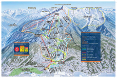
Revelstoke Ski Trail Map - Front side
Ski trail map of front side of Revelstoke ski area in Revelstoke, Canada from the 2008-2009 season.
190 miles away
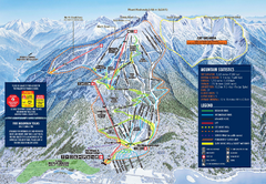
Revelstoke Ski Trail Map 2009-2010
Official ski trail map of Revelstoke Mountain Resort from the 2009-2010 season.
190 miles away
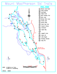
Revelstoke Nordic—Mount MacPherson Nordic Ski...
Trail map from Revelstoke Nordic—Mount MacPherson, which provides nordic skiing. This ski area...
191 miles away

City of Kennewick Map
Simple road map of Kennewick.
191 miles away
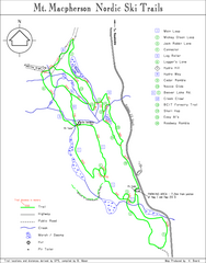
Mt Macpherson Nordic Ski Trail map
Nordic ski trail map of Mt Macpherson area near Revelstoke, BC. Shows trail names and distances in...
191 miles away
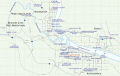
Kennewick Hotel Map
191 miles away
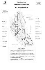
Mt. Macpherson Mountain Bike Trail Map
Mountain bike trail maps of Mt. Macpherson area and Mt. Mackenzie area right out of the town of...
192 miles away
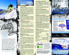
Mission Ridge Ski Area Ski Trail Map
Trail map from Mission Ridge Ski Area, which provides downhill, night, and terrain park skiing. It...
192 miles away
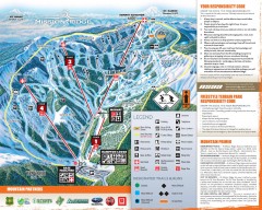
Mission Ridge Ski Trail Map
Official ski trail map of Mission Ridge ski area from the 2007-2008 season.
193 miles away

