Glacier National Park by carvedmaps.com Map
Wooden carved map of Glacier National Park by carvedmaps.com Anywhere in the United States maps...
133 miles away
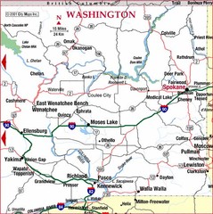
Eastern Washington Road Map
136 miles away
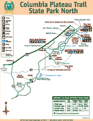
Columbia Plateau Trail State Park North Map
Map of park with detail of trails and recreation zones
138 miles away
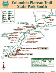
Columbia Plateau Trail State Park South Map
Map of park with detail of trails and recreation zones
138 miles away
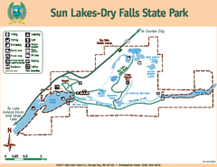
Sun Lakes-Dry Falls State Park Map
Map of park with detail of trails and recreation zones
139 miles away
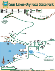
Sun Lakes-Dry Falls State Park Map
Map of park with detail of trails and recreation zones
139 miles away
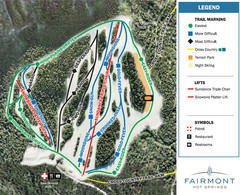
Fairmont Hot Springs Resort Ski Trail Map
Trail map from Fairmont Hot Springs Resort.
139 miles away
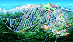
Big White Ski Resort Ski Trail Map
Trail map from Big White Ski Resort, which provides downhill, night, nordic, and terrain park...
140 miles away
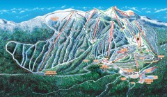
Big White Ski Trail Map
Official ski trail map of Big White ski area from the 2007-2008 season.
141 miles away
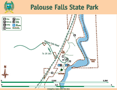
Palouse Falls State Park Map
Map of park with detail of trails and recreation zones
142 miles away
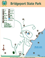
Bridgeport State Park Map
Map of park with detail of trails and recreation zones
142 miles away
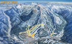
Panorama Ski Trail Map
Official ski trail map of Panorama ski area from the 2006-2007 season.
143 miles away
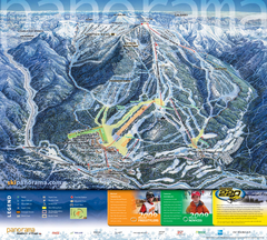
Panorama Mountain Village Ski Trail Map
Trail map from Panorama Mountain Village.
144 miles away
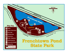
Frenchtown Pond State Park Map
Plan to bring everyone in the family to this day-use-only park for a whole afternoon of picnicking...
144 miles away
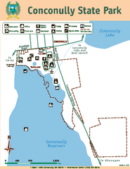
Conconully State Park Map
Map of park with detail of trails and recreation zones
145 miles away

Panorama Trail Map
Ski trail map
145 miles away
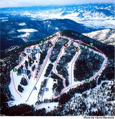
Loup Loup Ski Bowl Ski Trail Map
Trail map from Loup Loup Ski Bowl, which provides downhill, night, and nordic skiing. It has 2...
152 miles away
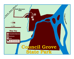
Council Grove State Park Map
Clearly marked map.
153 miles away
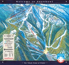
Montana Snowbowl Ski Trail Map
Trail map from Montana Snowbowl.
154 miles away
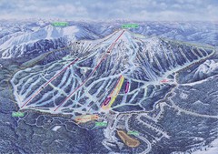
Apex Mountain Ski Resort Map
Apex Mountain Trail Map, Lifts and Elevations
156 miles away
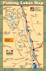
Radium Hot Springs Fishing Map
Beautiful map of the many fishing spots at this amazing site.
156 miles away
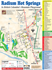
Radium Hot Springs Map
An easy to read map of this amazing hot springs area.
156 miles away
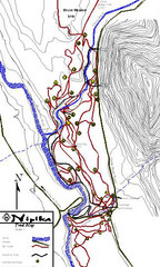
Nipika Ski Trail Map
Trail map from Nipika, which provides nordic skiing. This ski area has its own website.
158 miles away
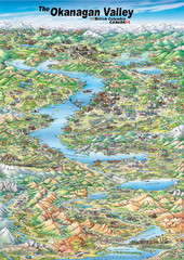
Pictorial map of the Okanagan Valley
159 miles away

Missoula, Montana City Map
160 miles away
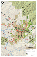
Missoula Bike Trails Map
Road and Mt. Bike trails with a bit of topology near Missoua
161 miles away

Missoula Trail System Map
Basic Map of Hike/Bike/Run Trail system for Missoula MT
161 miles away
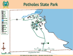
Potholes State Park Map
Map of park with detail of trails and recreation zones
161 miles away
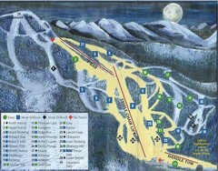
Marshall Mountain Ski Trail Map
Trail map from Marshall Mountain.
162 miles away
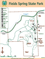
Fields Spring State Park Map
Map of park with detail of trails and recreation zones
162 miles away
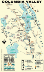
Columbia Valley Map
Easy to follow map and legend of this wilderness area.
163 miles away
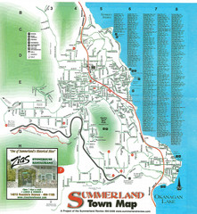
Summerland Town Map
Map of Summerland with details on outdoor-recreation locations and streets
163 miles away
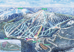
Apex Mountain Ski Trail Map
Official ski trail map of Apex Mountain ski area
165 miles away
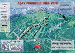
Apex Mountain Resort Biking Ski Trail Map
Trail map from Apex Mountain Resort, which provides downhill and terrain park skiing. It has 5...
165 miles away
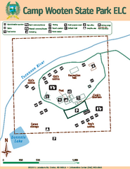
Camp Wooten State Park Map
Map of park with detail of trails and recreation zones
166 miles away
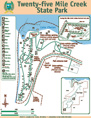
Twenty-Five Mile Creek State Park Map
Map of park with detail of trails and recreation zones
166 miles away
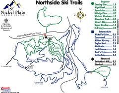
Nickel Plate Nordic Centre North Ski Trail Map
Trail map from Nickel Plate Nordic Centre.
167 miles away
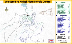
Nickel Plate Nordic Centre Ski Trail Map
Trail map from Nickel Plate Nordic Centre.
167 miles away
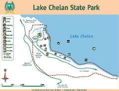
Lake Chelan State Park Map
Map of island with detail of trails and recreation zones
169 miles away

