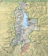
Grand Teton National Park Map
426 miles away
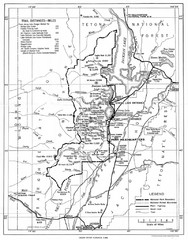
Grand Teton National Park, 1946 Map
426 miles away
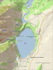
Jenny Lake Hiking Map
Shows hiking trails around Jenny Lake in Grand Teton National Park.
426 miles away
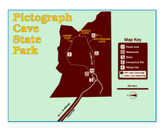
Pictograph Cave State Park Map
The 2,730-square-foot building, on the northwestern side of the existing parking lot, is designed...
427 miles away
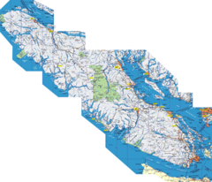
Vancouver Island Map
Detailed map of Vancouver Island, British Columbia. Shows towns, roads, and parks.
428 miles away
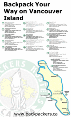
Vancouver Island Backpacking Map
Shows hostels on Vancouver Island, BC
428 miles away
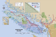
Vancouver Island Map
428 miles away
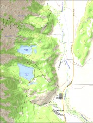
Bradley and Taggart Lake Hiking Map
Hiking map of Bradley Lake and Taggart Lake in Grand Teton National Park. A popular hike and good...
429 miles away
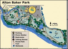
Alton Baker Park Map
Shows parking, picnic shelters, restrooms, talking stones, paved path, trail, and wetlands. Alton...
430 miles away
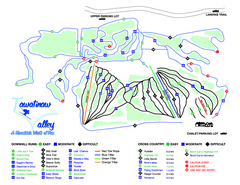
Tawatinaw Valley Ski Trail Map
Trail map from Tawatinaw Valley, which provides downhill and nordic skiing. This ski area has its...
431 miles away
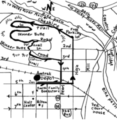
Eugene Oregon Walk, Skinner Butte and River Path...
Walk on the Willamette River Bike path, up Skinner Butte on a forest path and through a historic...
431 miles away
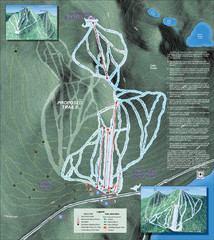
Willamette Pass Ski Trail Map
Trail map from Willamette Pass.
431 miles away
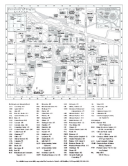
University of Oregon campus map
University of Oregon campus map with building abbreviations
431 miles away
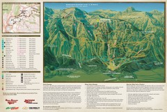
Jackson Hole Summer Mountain Biking/Hiking map
Jackson Hole summer mountain biking/hiking map. Covers 2500 acres (4 square miles).
432 miles away
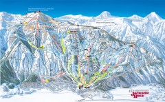
Jackson Hole Ski Trail Map
Official ski trail map of Jackson Hole ski area from the 2006-2007 season. Main Tram has been...
432 miles away

Eugene Parks map
City of Eugene Parks Map. Includes streets and trails.
432 miles away
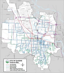
Eugene, Oregon City Map
432 miles away
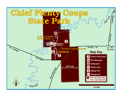
Chief Plenty Coups State Park Map
Simple and clear map of State Park.
432 miles away
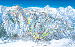
Jackson Hole Mountain Resort Ski Trail Map
Trail map from Jackson Hole Mountain Resort, which provides terrain park skiing. It has 12 lifts...
433 miles away
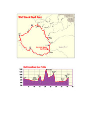
Wolf Creek Road Race Route and Route Elevation Map
Route map and elevation of Wolf Creek bike Race
436 miles away
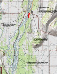
Wilson Bridge Fishing map
Shows access points to the Snake River from the Wilson Bridge area. From jackdennis.com: "...
438 miles away
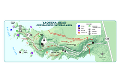
Yaquina Head Outstanding National Area Map
438 miles away
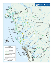
Flores Island Provincial Park Area Map
Park map of area around Flores Island Provincial Park, BC in the Clayoquot Sound. Flores Island is...
438 miles away
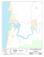
Newport Oregon Road Map
439 miles away
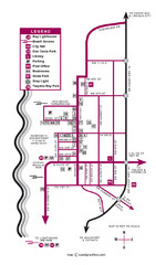
Nye Beach Tourist Map
439 miles away
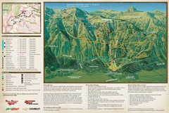
Jackson Hole Summer Mountain Map
440 miles away
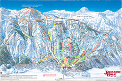
Jackson Hole Trail Map
441 miles away
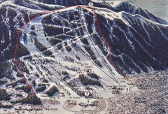
Snow King Ski Area Ski Trail Map
Trail map from Snow King Ski Area.
441 miles away
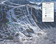
Snow King Ski Trail Map
Official ski trail map of Snow King ski area
441 miles away
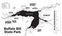
Buffalo Bill State Park Map
442 miles away
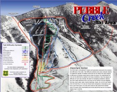
Pebble Creek Ski Trail Map
Official ski trail map of Pebble Creek ski area
444 miles away
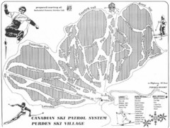
Purden Ski Village Ski Trail Map
Trail map from Purden Ski Village.
444 miles away
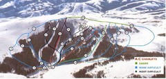
Pomerelle Ski Area Ski Trail Map
Trail map from Pomerelle Ski Area, which provides downhill, night, and terrain park skiing. It has...
445 miles away
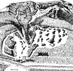
Sleeping Giant Ski Area Ski Trail Map
Trail map from Sleeping Giant Ski Area.
448 miles away
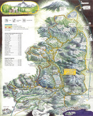
Diamond Lake Tourist Map
450 miles away
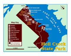
Hell Creek State Park Map
You’ll reach this campground park, 25 miles north of Jordan, through the spectacular scenery...
452 miles away
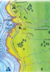
Cape Perpetua Map
457 miles away
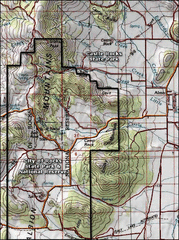
City of Rocks Topo Map
This topo map does not do justice to City of Rocks which is a wonderful reserve that is managed by...
459 miles away
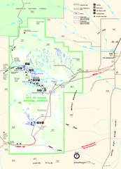
City of Rocks Park Map
This is the official Map for the reserve
459 miles away

