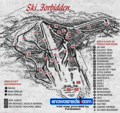
Pre-1999 Forbidden Plateau Map #2
Trail map from Forbidden Plateau.
398 miles away
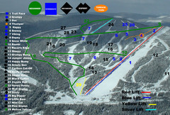
2004–07 Troll Downhill Map
Trail map from Troll. This ski area opened in 1972.
399 miles away
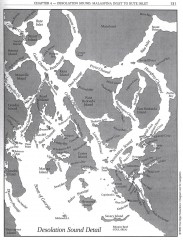
Desolation Sound Detail Map
Shows general geography of Desolation Sound from Malaspina Inlet to Bute Inlet. Shows Cortes Bay...
399 miles away
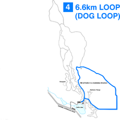
Hallis Lake Dog Loop Ski Trail Map
Trail map from Hallis Lake, which provides night and nordic skiing. This ski area has its own...
402 miles away

Hallis Lake Lighted Ski Trail Map
Trail map from Hallis Lake, which provides night and nordic skiing. This ski area has its own...
402 miles away
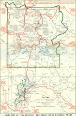
1929 Yellowstone and Grand Teton National Parks...
Map of older smaller boundaries of both national parks
402 miles away
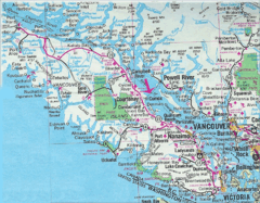
Vancouver Island Road Map
403 miles away
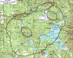
Yellowstone Lake Topographic Map
Topographic guide to Yellowstone Lake in Yellowstone National Park
403 miles away
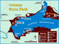
Cooney State Park Map
Simple and clear State Park Map.
404 miles away
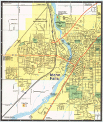
Idaho Falls, Idaho City Map
404 miles away

Stanley, British Columbia Map
404 miles away
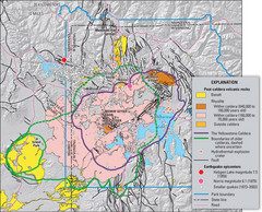
Yellowstone Geologic Map
Guide to geology, volcanic and earthquake activity and caldera outlines in Yellowstone National Park
404 miles away
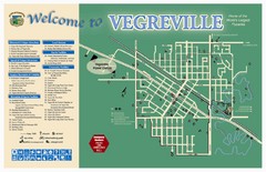
Vegreville Tourist Map
Tourist map of Vegreville, Alberta. Shows points of interest.
405 miles away
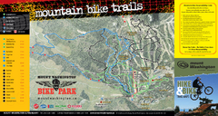
Mt. Washington Resort Summer Mountain Biking Ski...
Trail map from Mt. Washington Resort, which provides downhill and nordic skiing.
405 miles away
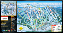
Mt. Washington Resort Ski Trail Map
Trail map from Mt. Washington Resort, which provides downhill and nordic skiing.
405 miles away

Steens Mountain Topo Map
Topography map of the east side of Steens mountain in Oregon.
406 miles away
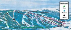
Kelly Canyon Ski Area Ski Trail Map
Trail map from Kelly Canyon Ski Area, which provides downhill, night, and terrain park skiing. It...
406 miles away
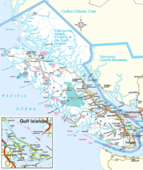
Vancouver Island Park Map
Parks and roads on Vancouver Island.
406 miles away
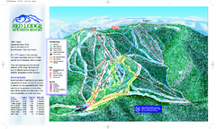
Red Lodge Mountain Ski Trail Map
Official ski trail map of Red Lodge Mountain ski area from the 2007-2008 season.
408 miles away
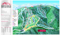
Red Lodge Mountain Ski Trail Map
Trail map from Red Lodge Mountain.
409 miles away
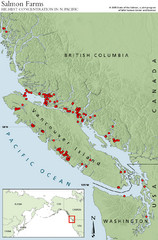
BC Salmon Farms Map
Shows fishfarms in BC around Vancouver Island, highest concentration of fish farms in North Pacific
413 miles away
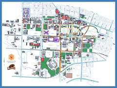
Oregon State University Campus Map
Campus map of Oregon State University in Corvallis, Oregon
413 miles away
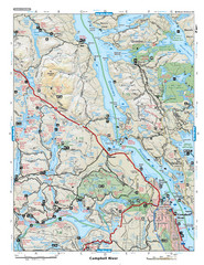
Campbell River Area Map
Vancouver Island, Victoria & Gulf Islands
413 miles away
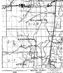
Transportaion for Benton County 1936 Map
1936 Map of Benton County, Oregon known as Muddy Area with counties, roads and towns marked
414 miles away
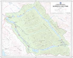
Bowron Lake Park Map
Topographical map of Bowron Lake Park
417 miles away

Grand Targhee Ski Trail Map
Official ski trail map of Grand Targhee ski area from the 2007-2008 season.
418 miles away
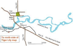
Fort Assiniboine Location Map
418 miles away
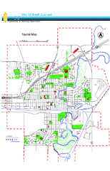
Swift Current Tourist Map
Tourist map of Swift Current, Saskatchewan. Shows all parks and walking paths.
418 miles away
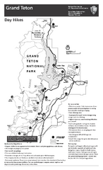
Grand Teton National Park Day Hikes Map
Shows suggested hikes and safety recommendations for day hikes in Grand Teton National Park, WY...
420 miles away
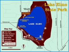
Lake Elmo State Park Map
This urban day-use park attracts visitors to swim, sailboard, and fish. A display in the Fish...
421 miles away
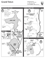
Grand Teton National Park Lakeshore Hiking Map
Shows scenic hikes around lakes such as Phelps, Jenny, Leigh and Taggart in Grand Teton National...
421 miles away
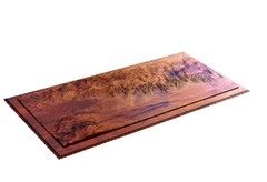
Grand Tetons by Carvedmaps.com Map
Grand Tetons including Teton Villiage and Jenny Lake by carvedmaps.com
421 miles away
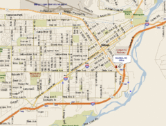
Billings, Montana City Map
422 miles away
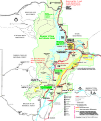
Grand Teton National Park Map - Winter
Official NPS winter map of Grand Teton National Park, Wyoming. The winter park map details winter...
423 miles away
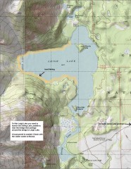
Leigh Lake Fishing Map
Fishing map of Leigh Lake in Teton National Park. From jackdennis.com: "Leigh Lake is a...
424 miles away
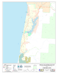
Lincoln City Oregon Road Map
424 miles away
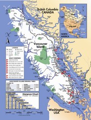
Vancouver Island Road Map
425 miles away
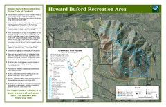
Howard Buford Recreational Area Trails Map
Map of the Howard Buford Recreational Area trails, roads, picnic areas, bathrooms, attractions.
426 miles away
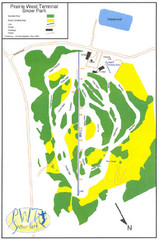
Prairie West Terminal Snow Park (Twin Towers) Ski...
Trail map from Prairie West Terminal Snow Park (Twin Towers), which provides downhill skiing. This...
426 miles away
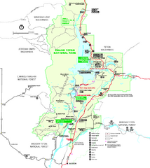
Grand Teton National Park Map - Summer
Official NPS summer map of Grand Teton National Park, Wyoming. The summer map includes all...
426 miles away

