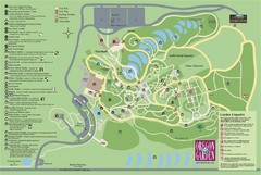
Oregon Garden Map
Map and key marking trails and more in this amazing garden.
376 miles away
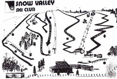
Snow Valley Ski Club ? Ski Trail Map
Trail map from Snow Valley Ski Club, which provides downhill skiing. This ski area has its own...
376 miles away
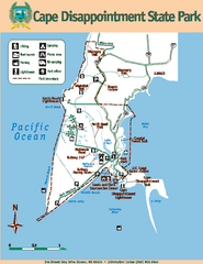
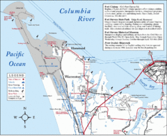
Cape Dissapointment State Park Map
Map of park with detail of trails and recreation zones
378 miles away
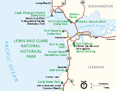
Lewis & Clark National Historic Trail...
Official NPS map of Lewis & Clark National Historic Trail in Oregon-Washington. Shows all areas...
379 miles away
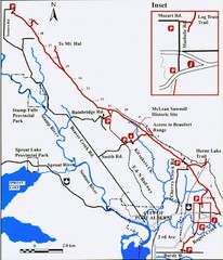
Log Train Trail Map
Trail map of the Log Train Trail near Port Alberni, Vancouver Island
380 miles away
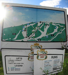
Silver Summit Ski Trail Map
Trail map from Silver Summit, which provides downhill and nordic skiing. This ski area has its own...
381 miles away
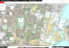
Edmonton, Alberta Tourist Map
381 miles away
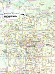
Edmonton, Alberta Tourist Map
381 miles away
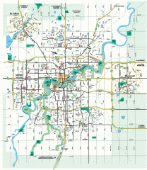
Edmonton Map
City street map of the metro Edmonton area in Alberta.
381 miles away
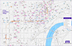
Edmonton Center Transportation Map
Bus and light rail public transportation map of center of Edmonton, Alberta, Canada.
381 miles away
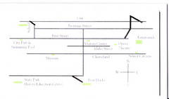
Glenns Ferry City Map
City map of Glenns Ferry, Idaho with information
381 miles away
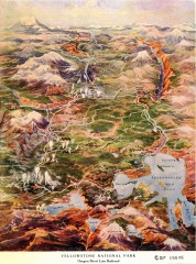
Detail of Yellowstone National Park, 1910 Map
Detail of Yellowstone National Park showing the Oregon Short Line Railroad, 1910
381 miles away
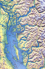
Northern Gulf Map
Map of Northern Gulf Islands
382 miles away
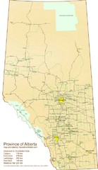
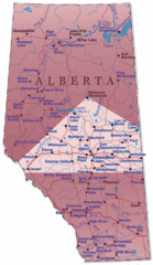
Alberta Tourist Map
Cities and areas in Alberta, Canada
383 miles away
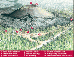
Newberry National Volcanic Monument - Lava Lands...
Map of Lava Butte which rises 500 feet above the visitor center. This cinder cone erupted 7,000...
384 miles away
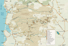
Tillamook State Forest Map
Recreation map of Tillamook State Forest. Over 60 miles of non-motorized trails and 150 miles of...
384 miles away
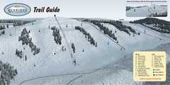
Sunridge Ski Area Ski Trail Map
Trail map from Sunridge Ski Area, which provides downhill skiing. This ski area has its own website.
385 miles away
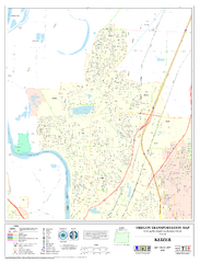
Keizer Oregon Road Map
385 miles away
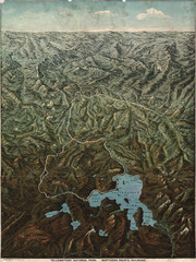
Fee’s map of Yellowstone National Park...
Charles S. Fee's map of Yellowstone in 1895.
388 miles away
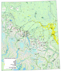
Chilcotin Mountains Trail System Map
Trail system map of the Chilcotin Mountains in BC, Canada "On the trail system map '...
388 miles away
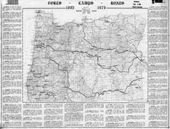
Oregon Military Map
Detailed guide to military forts, camps and roads on teh western Oregon coast
388 miles away
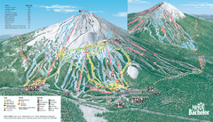
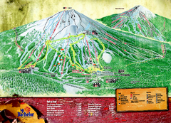
Mt. Bachelor Ski Trail map
Official ski trail map of Mount Bachelor ski area from the 2006-2007 season.
389 miles away
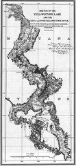
1871 Yellowstone River and Lake Map
Historic guide to the Yellowstone River and Lake in Yellostone National Park
389 miles away
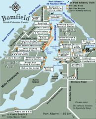
Bamfield Tourist Map
391 miles away
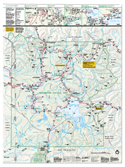
Yellowstone National Park official map
Official NPS map of Yellowstone National Park. Detail map of park with shaded relief. Established...
391 miles away
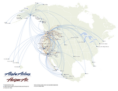
Alaska Airlines Route Map
391 miles away
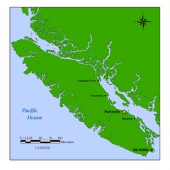
Vancouver Island Overview Map
Town of Parksville highlighted.
392 miles away
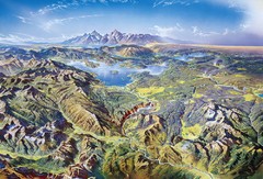
Yellowstone oblique Map
Oblique Panorama map of Yellowstone National Park
393 miles away
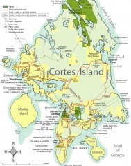
Cortes Island tourist map
Tourist map of Cortes Island in British Columbia, Canada. Shows businesses and roads.
394 miles away
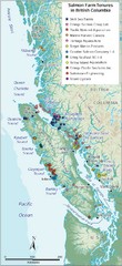
BC Fish Farm Map
Shows salmon farm tenures in southern British Columbia, Canada.
394 miles away
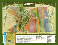
Van Duzer Vineyard Map
"A colorful vineyard map that shows the location of Van Duzer’s numerous grape varietals...
394 miles away
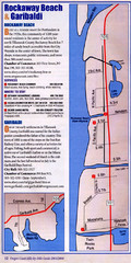
Rockaway Beach Map
396 miles away
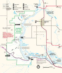
Hagerman Fossil Beds National Monument Map
Official map of Hagerman Fossil Beds National Monument in Hagerman, Idaho
396 miles away
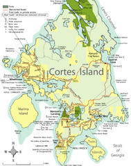
Cortes Island Tourist Map
Places of interest.
396 miles away
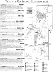
Elk Island National Park Trail Map
Map of hiking trails of Elk Island National Park, Alberta
397 miles away

Independence Oregon Road Map
397 miles away
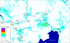
Bison Travel in Yellowstone National Park Map
General bison travel in Yellowstone National Forest, Wyoming
397 miles away

