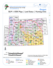
Oregon Hunting Unit/BLM Map Index
This map shows which BLM land ownership maps cover all hunting units in Oregon. Color indicates...
355 miles away
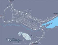
Williams Lake Town Map
355 miles away
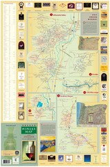
Oregon Winery Map / Local Side
356 miles away

Edmonton, Alberta Tourist Map
Edmonton, Alberta and the area west of it
356 miles away

Tigard Oregon Road Map
356 miles away

King City Oregon Road Map
358 miles away

West Coast Trail Map
359 miles away
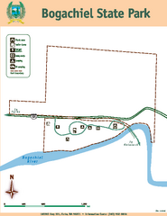
Bogachiel State Park Map
Map of park with detail of trails and recreation zones
359 miles away
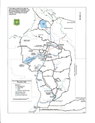
Ashton/Island Park Recreation Sites Map
360 miles away
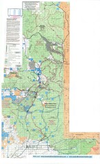
Island Park Idaho Area Snowmobile Map
360 miles away

BANKS-VERNONIA STATE TRAIL Map
362 miles away
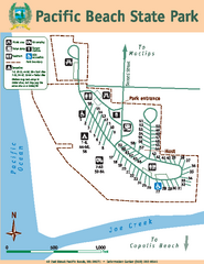
Pacific Beach State Park Map
Map of park with detail of trails and recreation zones
362 miles away
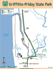
Griffiths-Priday State Park Map
Griffiths-Priday State Park
363 miles away
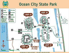
Ocean City State Park Map
Map of park with detail of trails and recreation zones
364 miles away
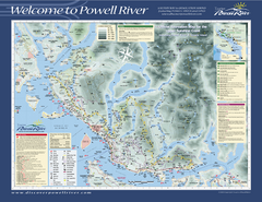
Upper Sunshine Coast Recreation Map
Recreation map of Upper Sunshine Coast in BC. Shows hiking trails, kayaking and canoeing routes...
365 miles away
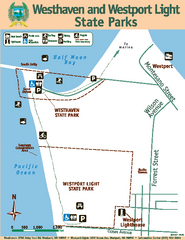
Westhaven/Westport Light State Parks Map
Map of park with detail of trails and recreation zones
365 miles away
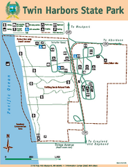
Twin Harbors State Park Map
Map of park with detail of trails and recreation zones
365 miles away
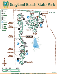
Grayland Beach State Park Map
Map of park with detail of trails and recreation zones
366 miles away
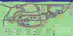
Devon Lions Park Campgrounds Map
366 miles away
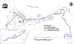
Neah Bay Bus Route Map
367 miles away
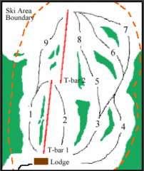
Mount Arrowsmith (Upper) Ski Trail Map
Trail map from Mount Arrowsmith (Upper).
368 miles away
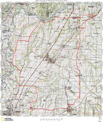
Spring Century Bike Route Map
Oregon Spring Century Ride
368 miles away
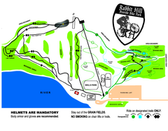
Rabbit Hill Ski and Snowboard Center Mountain...
Trail map from Rabbit Hill Ski and Snowboard Center, which provides downhill skiing. This ski area...
368 miles away
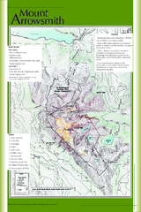
Mount Arrowsmith Climbing Route Map
Climbing routes on Mount Arrowsmith, Vancouver Island
368 miles away
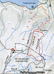
Mt. Arrowsmith Park CPR Historic Trail Map
Trail map of Mt. Arrowsmith Regional Park CPR Historic Trail, Vancouver Island
368 miles away
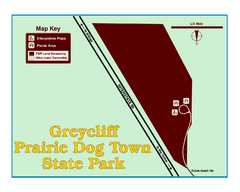
Greycliff Prairie Dog Town State Park Map
Grab your camera and hop off Interstate 90 at Greycliff to delight in the playful, curious black...
369 miles away
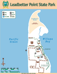
Leadbetter Point State Park Map
Map of park with detail of recreation zones and trails
369 miles away
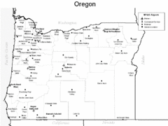
Oregon Airport Map
369 miles away
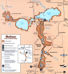
Malheur National Wildlife Refuge Map
Detailed Map of the Malheur Wildlife Refuge in Oregon showing places of interest, roads and...
371 miles away
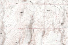
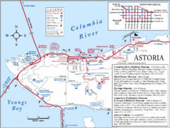
Astoria Oregon Map
A detailed topographic map of Astoria, Oregon and the Columbia River.
371 miles away
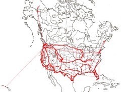
North America Layout Map
Countries, states and provinces in North America
372 miles away
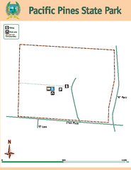
Pacific Pines State Park Map
Map of park with detail of trails and recreation zones
372 miles away
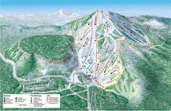
Hoodoo Mountain Ski Trail Map
Ski trail map of Hoodoo Mountain ski area.
373 miles away
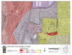
Bend, Oregon Zoning Map
Map of the zoning area changes in Bend, Oregon. Includes color-coded zoning areas.
374 miles away
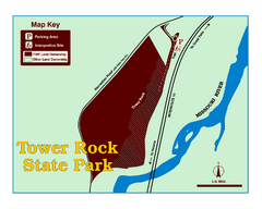
Tower Rock State Park Map
Tower Rock State Park is one of Montana's newest state parks. The 400-foot high igneous rock...
375 miles away
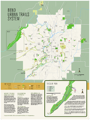
Bend urban trails system Map
The Bend Urban Trail System currently includes approximately 48 developed miles of trails which...
375 miles away
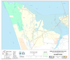
Warrenton Oregon Road Map
376 miles away

