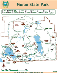
Moran State Park Map
Map of park with detail of trails and recreation zones
285 miles away

Oregon Trail Historical Map
285 miles away
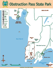
Obstruction Pass State Park Map
Map of park with detail of trails and recreation zones
285 miles away
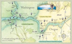
Columbia Gorge Wine Map
Wineries of the Columbia River Gorge area, Oregon.
285 miles away
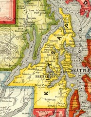
Kitsap County Washington, 1909 Map
286 miles away
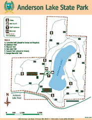
Anderson Lake State Park Map
Map of park and trails
287 miles away
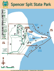
Spencer Spit State Park Map
Map of park with detail of trails and recreation zones
287 miles away
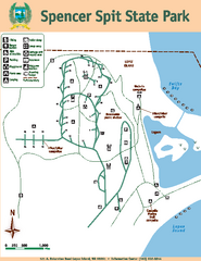
Spencer Spit State Park Map
Map of park with detail of trails and recreation zones
287 miles away
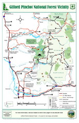
Gifford Pinchot National Forest Vicinity Map
Gifford Pinchot National Forest and surrounding areas including Mt. St Helens.
287 miles away
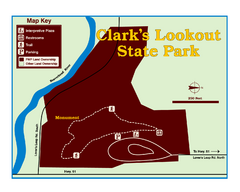
Clark's Lookatout State Park Map
Clearly marked State Park Map.
288 miles away
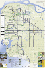
Bicycle Friendly Route Map
289 miles away
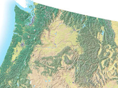
Northwest USA topo Map
290 miles away
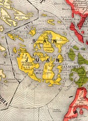
San Juan County Washington, 1909 Map
290 miles away

Orcas tourist map
Tourist map of Orcas, Washington. Shows all businesses.
291 miles away
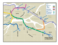
Highway 1 Rapid Bus Service Map
291 miles away
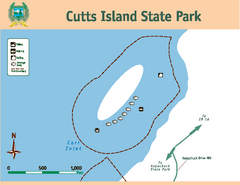
Cutts Island Stay Park Map
Map of park with detail of trails and recreation zones
292 miles away
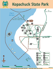
Kopachuck State Park Map
Map of island with detail of trails and recreation zones
292 miles away
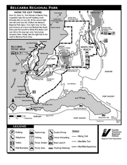
Belcarra Regional Park Trail Map
Trail map of Belcarra Regional Park, BC
293 miles away
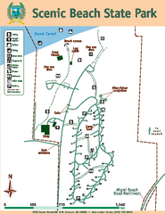
Scenic Beach State Park Map
Map of park with detail of trails and recreation zones
293 miles away
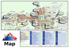
Simon Fraser University Campus Map
Simon Fraser University Campus Map includes the location of all buildings, bus stops, emergency...
294 miles away
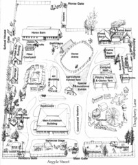
San Juan County Fair Map 2008
Fairgrounds map for the San Juan County Fair, Friday Harbor, Washington
294 miles away
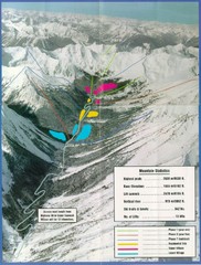
Cayoosh Resort (Melvin Creek) Ski Trail Map
Trail map from Cayoosh Resort (Melvin Creek), which provides downhill skiing.
294 miles away
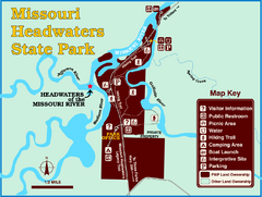
Missouri Headwaters State Park Map
This park encompasses the confluence of the Jefferson, Madison and Gallatin Rivers. The Lewis and...
294 miles away
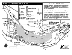
Burnaby Lake Park Trail Map
Trail map of Burnaby Lake Park in Vancouver, BC
295 miles away
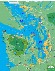
Seattle Ferry Guide Map
Map of ferries around Seattle, Puget Sound and Olympic Peninsula
295 miles away
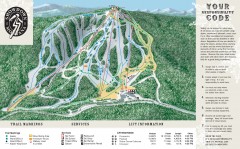
Showdown Ski Trail Map
Official ski trail map of Showdown ski area
295 miles away
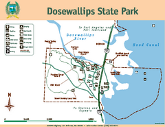
Dosewallips State Park Map
Map of park with detail of trails and recreation zones
295 miles away
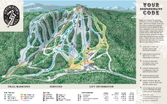
Showdown Ski Area Ski Trail Map
Trail map from Showdown Ski Area.
296 miles away
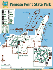
Penrose Point State Park Map
Map of park with detail of trails and recreation zones
296 miles away

San Juan Island tourist map
San Juan Island and Friday Harbor tourist map. Shows all businesses.
296 miles away
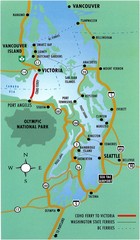
British Columbia, Canada Tourist Map
296 miles away
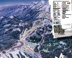
Mount Seymour Ski Trail Map
Trail map from Mount Seymour, which provides downhill, night, and terrain park skiing. It has 5...
296 miles away
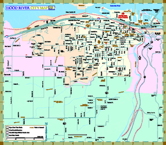
Hood River Map
Tourist map of city of Hood River, Oregon.
297 miles away
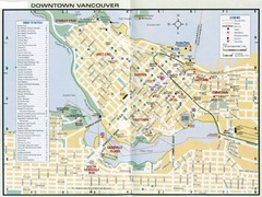
Vancouver Map
297 miles away
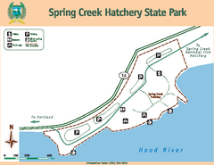
Spring Creek Hatchery State Park map
Map of park with detail of trails and recreation zones
298 miles away
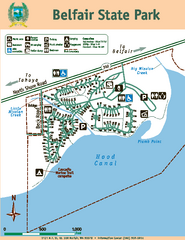
Belfair State Park Map
Map of park, with detail of trails and recreation zones
298 miles away
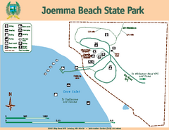
Joemma Beach State Park Map
Map of park with detail of trails and recreation zones
299 miles away
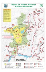
Mt. Saint Helens National Volcanic Monument...
Official recreation map showing all roads, trails, campgrounds, and other facilities. Also shows...
299 miles away
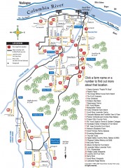
Hood River County Fruit Loop map
35-mile scenic drive through the valley's orchards, forests, farmlands, and friendly...
299 miles away
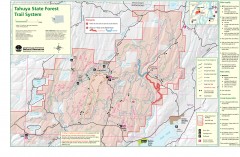
Tahuya State Forest Trail Map
Shows trails of Tahuya State Forest. Show roads, doubletrack, singletrack, and 4WD only.
300 miles away

