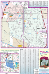
Milton and Edgewood tourist map
Tourist map of Milton and Edgewood, Washington. Shows all businesses.
276 miles away
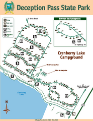
Deception Pass State Park Map
Map of park with detail of trails and recreation zones
276 miles away
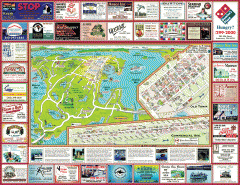
Anacortes tourist map
Tourist map of Anacortes, Washington. Shows recreation and points of interest.
276 miles away
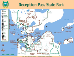
Deception Pass State Park Map
Map of park with detail of trails and recreation zones
277 miles away
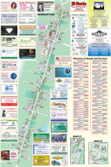
Milton tourist map
Tourist map of Milton, Washington. Shows all businesses.
277 miles away
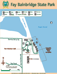
Fay Bainbridge State Park Map
Map of park with detail of trails and recreation zones
277 miles away
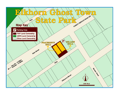
Elkhorn Ghost Town State Park Map
Clearly marked map of old 1880's ghost town with impressive structures.
277 miles away

Oak Harbor tourist map
Tourist map of Oak Harbor, Washington. Shows all businesses.
278 miles away
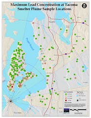
Tacoma Lead Concentration Map
A map of maximum lead concentrations near Tacoma.
278 miles away
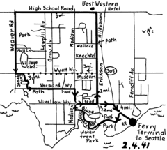
Bainbridge Walking Map
From Seattle Ferry Terminal, take the Bainbridge Ferry to Winslow. The walk is 4 miles with...
278 miles away
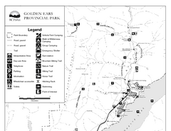
Golden Ears Provincial Park Map
Park map of Golden Ears Provincial Park, BC. 2 pages.
278 miles away

3-D Panoramic Map of the Puget Sound
A 3D panoramic map of a view from a private residence over Puget Sound toward the Olympic mountains.
279 miles away
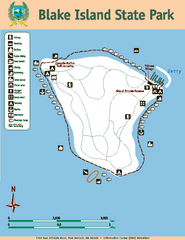
Blake Island State Park Map
Map of park with detail of trails and recreation zones
279 miles away
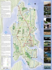
Bainbridge Island Hiking and Biking Map
Shows trails and bike routes on Bainbridge Island, Washington in the Puget Sound. Also shows...
279 miles away
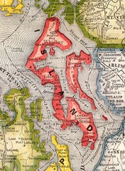
Island County Washington, 1909 Map
279 miles away
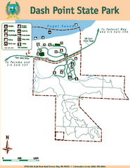
Dash Point State Park Map
Map of park with detail of trails and recreation zones
279 miles away
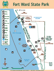
Fort Ward State Park Map
Map of park with detail of trails and recreation zones
280 miles away

Pierce County Washington Map, 1909 Map
280 miles away

Coupeville tourist map
Tourist map of Coupeville, Washington. Shows all businesses.
280 miles away
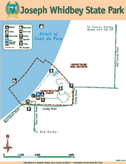
Joseph Whidbey State Park Map
Map of park with detail of trails and recreation zones
280 miles away
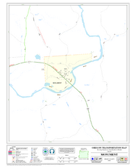
Monument Oregon Road Map
281 miles away
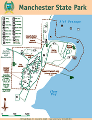
Manchester State Park Map
Map of park with detail of trails and recreation zones
281 miles away
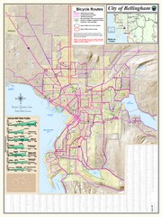
Bellingham, Washington City Map
281 miles away
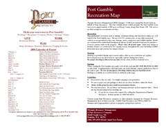
Stottlemeyer trails Map
281 miles away
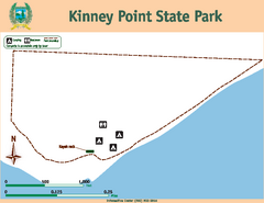
Kinney Point State Park Map
Map of island with detail of trails and recreation zones
281 miles away
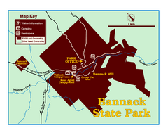
Bannack State Park Map
281 miles away
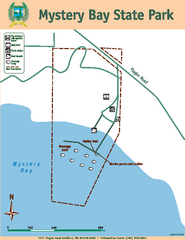
Mystery Bay State Park Map
Map of park with detail of trails and recreation zones
281 miles away
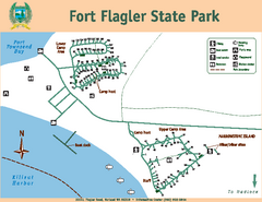
Fort Flagler State Park Map
Map of park with detail of trails and recreation zones
282 miles away
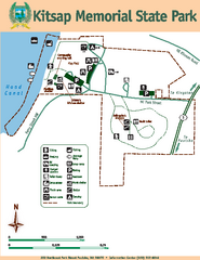
Kitsap Memorial State Park Map
Map of island with detail of trails and recreation zones
282 miles away
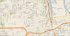
Tacoma, Washington City Map
282 miles away
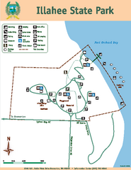
Illahee State Park Map
Map of park with detail of trails and recreation zones
282 miles away
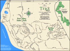
Ft Ebey/Kettle Park Trail Map
Trail map of Fort Ebey Park and Kettle Park, Washington
283 miles away
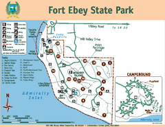
Fort Ebey State Park Map
Map of park with detail of trails and recreation zones
283 miles away
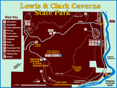
Lewis and Clark Caverns State Park Map
Montana's first and best-known state park showcases one of the most highly decorated limestone...
284 miles away
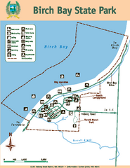
Birch Bay State Park Map
Map of park with detail of trails and recreation zones
284 miles away
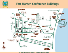
Fort Worden Conference Buildings Map
Map of conference buildings in Fort Worden State Park
284 miles away
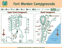
Fort Worden Campgrounds Map
Map of park campgrounds
284 miles away
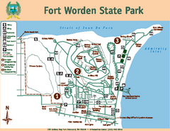
Fort Worden State Park Map
Map of park with detail of trails and recreation zones
284 miles away
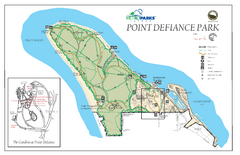
Point Defiance Park Map
285 miles away
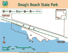
Dougs Beach State Park Map
Map of park with detail of trails and recreation zones
285 miles away

