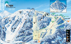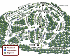
Schweitzer Ski Trail Map - Outback Bowl
Official ski trail map of back side of Schweitzer ski area from the 2007-2008 season.
0 miles away
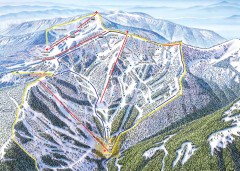
Schweitzer Ski Trail Map - Front
Official ski trail map of front side of Schweitzer ski area from the 2007-2008 season.
less than 1 mile away
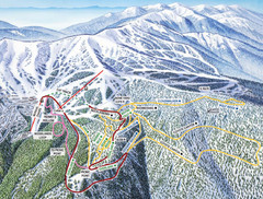
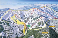
Schweitzer Mountain Trail Map
Ski trail map of Schweitzer Mountin
3 miles away

Schweitzer Mountain Trail Map
Map of ski trails
3 miles away
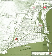
Map of Sandpoint, Idaho
Map of the entire town of Sandpoint including all streets, highways and other information.
8 miles away

Sandpoint City Map
Street map of downtown Sandpoint
8 miles away
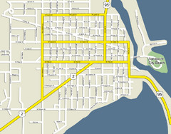
Sandpoint City Beach Map
Downtown Sandpoint Map.
8 miles away
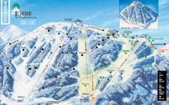
Mt. Spokane Ski Trail Map
Official ski trail map of Mount Spokane ski area from the 2006-2007 season.
39 miles away
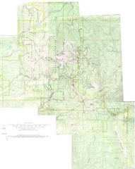
Mount Spokane Trail Map
Contour map of Mount Spokane
40 miles away
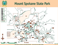
Mount Spokane State Park Map
Map of park with detail of trails and recreation zones
40 miles away
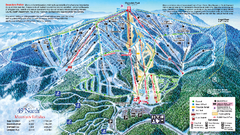
49 North Mountain Resort Ski Trail Map
Trail map from 49 North Mountain Resort, which provides downhill, night, nordic, and terrain park...
44 miles away
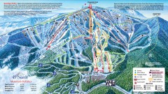
49 Degrees North Ski Trail Map
Official ski trail map of ski area from the 2007-2008 season.
45 miles away
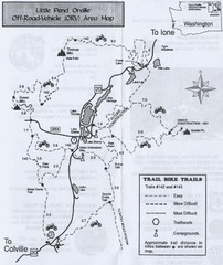
Little Pend Oreille Off Road Vehicle (ORV) Area...
Map of the Off Road Vehicle Area in Little Pend Oreille, Washington. Includes all bike trails...
45 miles away
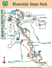
Riverside State Park Map
Map of park with detail of trails and recreation zones
60 miles away
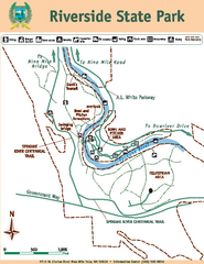
Riverside State Park Map
Map of park with detail of trails and recreation zones
61 miles away
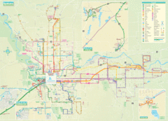
Spokane Guide Map
Roads and areas in and around Spokane, Washington
63 miles away
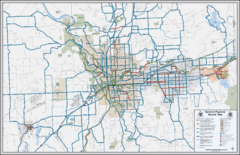
Spokane, Washington Bike Map
63 miles away
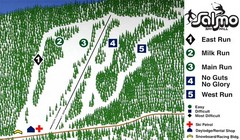
Salmo Ski Area Ski Trail Map
Trail map from Salmo Ski Area, which provides downhill skiing. This ski area has its own website.
63 miles away
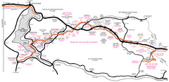
Trail of the Coeur d'Alenes Map
Shows the Trail of the Coeur d'Alenes, a 72 mile bike path that follows the Union Pacific...
64 miles away
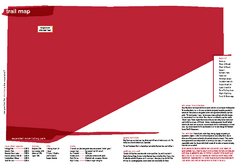
Silver Mountain Resort Ski Trail Map
Trail map from Silver Mountain Resort, which provides downhill, night, and terrain park skiing. It...
66 miles away
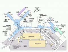
Spokane International Airport Terminal Map
Official Map of Spokane International Airport in Washington state. Shows all terminals.
68 miles away

City of Trail BC Map
Map of city of Trail, BC on the Columbia River
70 miles away
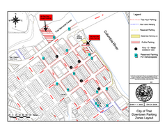
City of Trail Downtown Parking Map
Parking map of downtown Trail, British Columbia
70 miles away

Red Mountain Trail Map
Ski trail map
73 miles away
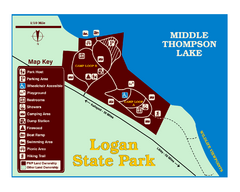
Logan State Park Map
With frontage on the north shore of Middle Thompson Lake, Logan is heavily forested with western...
74 miles away

Red Mountain Ski Trail Map
Trail map from Red Mountain.
74 miles away

2006–08 Black Jack Nordic Map
Trail map from Black Jack.
74 miles away
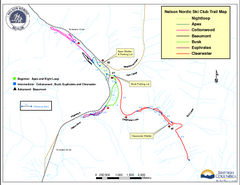
Nelson Nordic Ski Trail Map
Trail map from Nelson Nordic, which provides night and nordic skiing. This ski area has its own...
75 miles away
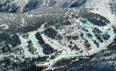
Whitewater Ski Resort Silver King Ski Trail Map
Trail map from Whitewater Ski Resort.
77 miles away
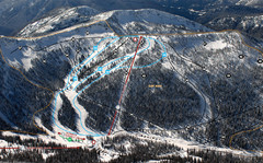
Whitewater Ski Resort Summit Ski Trail Map
Trail map from Whitewater Ski Resort.
77 miles away
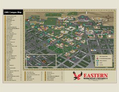
Eastern Washington University Campus Map
Campus map of Eastern Washington University in Cheney, Washington
77 miles away
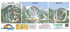
Lookout Pass Ski Trail Map
Official ski trail map of Lookout Pass ski area from the 2007-2008 season. Shows Montana, Idaho...
77 miles away
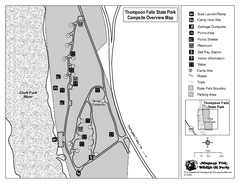
Thompson Falls State Park Map
This shaded, quiet campground is located on the Clark Fork River near the town of Thompson Falls in...
80 miles away
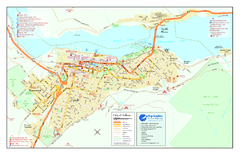
Nelson BC Town Map
82 miles away
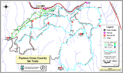
Paulson X-C (Castlegar Nordic) Ski Trail Map
Trail map from Paulson X-C (Castlegar Nordic), which provides nordic skiing. This ski area has its...
87 miles away

Kootenay Rockies Map
The Kootenay Rockies Range in British Columbia, Canada
92 miles away
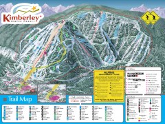
Kimberley Ski Trail Map
Official ski trail map of Kimberley ski area from the 2007-2008 season.
93 miles away
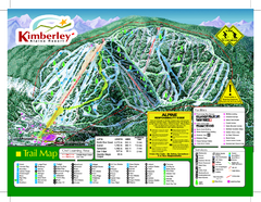
Kimberley Alpine Resort Ski Trail Map
Trail map from Kimberley Alpine Resort.
94 miles away

