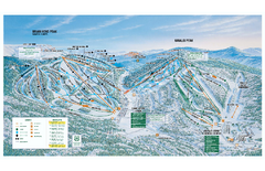
Brian Head Ski Trail Map
Official ski trail map of Brian Head ski area from the 2007-2008 season.
0 miles away
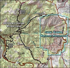
Topo Map of Ashdown Gorge Wilderness, including...
Cedar Breaks is similar to Bryce Canyon in many ways, but is more of an amphitheater than a canyon...
3 miles away
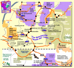
Zion National Park Tourist Map
28 miles away
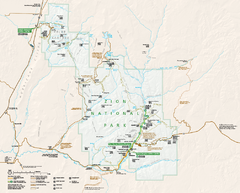
Zion National Park Official map
Official park map of Zion National Park. Shows trails, roads, and all park facilities.
28 miles away
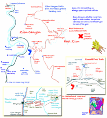
Zion National Park Trails Map
29 miles away

Zion Canyon Map
A detailed map of the Zion Canyon in Zion National Park
29 miles away
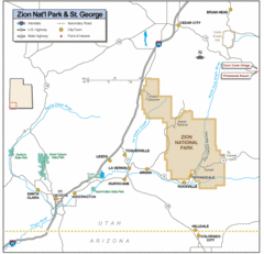
Zion National Park Highway Map
Highways, roads, cities and points of interest are marked on this clear map.
34 miles away
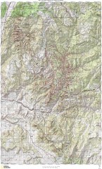
Zion National Park Topography Map
34 miles away
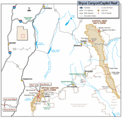
Bryce Canyon National Park Map
Roads, highways, rivers and points of interest are clearly marked on this simple map.
37 miles away
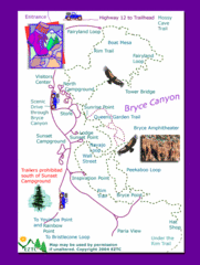
Bryce Canyon National Park Trails Map
37 miles away

Bryce Canyon National Park Map
37 miles away
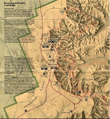
Brycec Canyon National Park Map
37 miles away

Bryce Canyon Official Park Map
Official NPS map of Bryce Canyon National Park in Utah. Map shows all areas. The park is open 24...
37 miles away
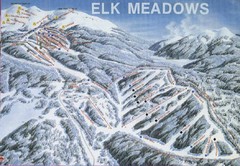
Elk Meadows Resort Ski Trail Map
Trail map from Elk Meadows Resort.
42 miles away
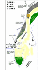
Coral Pink Sand Dunes State Park Map
Rippling arcs of rust-colored sand welcome you as you enter Coral Pink Sand Dunes State Park...
45 miles away
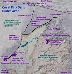
Coral Pink Sand Dunes Map
46 miles away
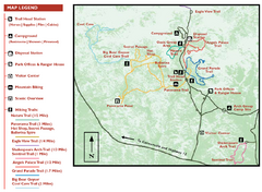
Kodachrome Basin State Park Map
Trail map of Kodachrome Basin State Park, Utah. Shows hiking trails and park facilities.
47 miles away
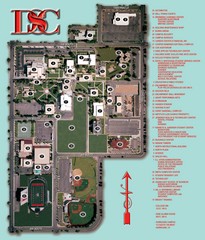
Dixie State College Campus Map
Campus Map
57 miles away
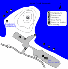
Otter Creek Reservoir Map
This quiet getaway is a great destination for ATV riders, boaters, and birders. Access three ATV...
58 miles away
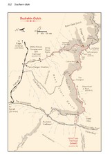
Buckskin Gulch Trail Map
Guide to Buckskin Gulch, the longest slot canyon in the US
59 miles away
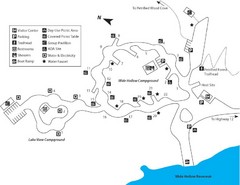
Escalante Petrified Forest State Park Map
Escalante Petrified Forest State Park is located in beautiful southern Utah, just 44 miles east of...
66 miles away
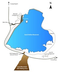
Sand Hollow State Park Map
With its warm, blue waters and red sandstone landscape, Utah's newest state park is also one...
66 miles away
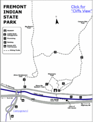
Fremont Indian State Park Map
Discover artifacts, petroglyphs, and pictographs left behind by the Fremont Indians. During...
68 miles away

Lake Powell Oblique Map
94 miles away
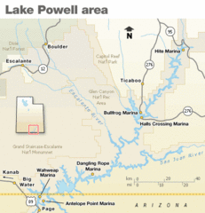
Lake Powell Area Map
Clear map marking the surrounding area of this pristine lake.
95 miles away
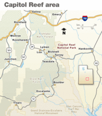
Capitol Reef National Park Map
Clear map marking major highways and cities.
96 miles away
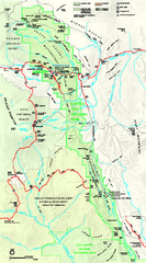
Capitol Reef National Park Official Map
Official NPS map of Capitol Reef National Park in Utah. Map shows all areas. The park and...
96 miles away
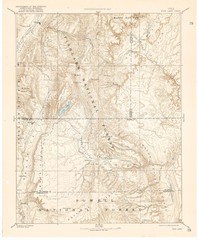
Topo Map of Capitol Reef Region (Fish Lake Quad...
This is one of four USGS maps done by the Powell survey and depicting the area around Capitol Reef...
98 miles away
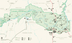
Grand Canyon National Park map
Official map of Grand Canyon National Park. Currently not available on the NPS website
100 miles away
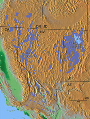
Pleisocene Lakes of western U.S. Map
102 miles away
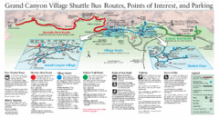
Grand Canyon Shuttle Bus Map
Guide to shuttle bus routes, points of interest and parking in Grand Canyon National Park
102 miles away
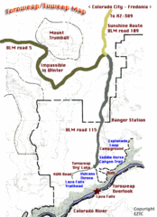
Toroweap Park Map
103 miles away
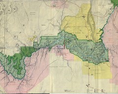
Grand Canyon National Park Map
Grand Canyon National Park including Kaibab National Forest and Coconino Plateau
106 miles away
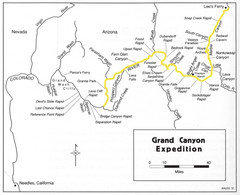
Grand Canyon River Expedition Map
Guide to the Colorado River, rapids and washes
107 miles away
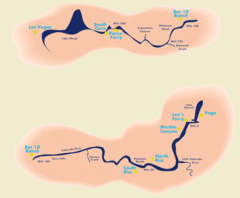
Grand Canyon River Rafting Map
Guide to the Colorado River, Grand Canyon river rafting
110 miles away
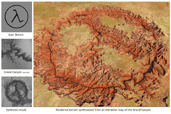
Rendered Terrain of the Grand Canyon Map
Created from Digital Elevation Models
111 miles away
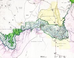
Grand Canyon Map
Guide to the Grand Canyon National Park
112 miles away
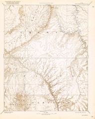
Topo Map of San Rafael Quadrant circa 1885
This is one of four USGS maps from the 1880's and 90's depicting the area around the...
114 miles away
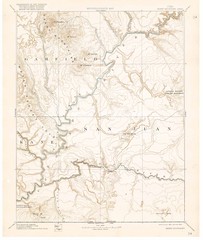
Henry Mtns Topo Map, circa 1892
One of a set of four maps circa 1890s by USGS depicting the area around the Henry Mtns and Capitol...
114 miles away
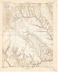
Topo Map of Escalante Quadrant, UT circa 1886
One of four USGS maps detailing the area around Capitol Reef National Park and Glen Canyon circa...
115 miles away

