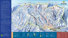
Snowbasin Ski Trail Map
Official ski trail map of ski area from the 2007-2008 season.
0 miles away

Snowbasin Nordic Trail Map
Nordic trail map of Snowbasin resort, Utah
less than 1 mile away
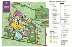
Weber State University Map
Weber State University Campus Map. All buildings shown.
6 miles away

Wolf Mountain Ski Trail Map
Trail map from Wolf Mountain.
7 miles away
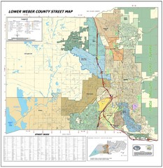
Lower Weber County Street Map
Street map for area around Ogden, UT
7 miles away

Utah mountain resorts Map
9 miles away
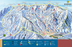
Snowbasin Mountain Trail Map
Ski trail map of Snowbasin Mountain
10 miles away
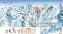
Powder Mountain Ski Trail Map
Official ski trail map of Powder Mountain ski area from the 2007-2008 season.
13 miles away
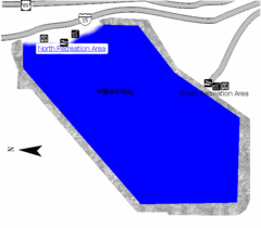
Willard Bay State Park Map
Boat, swim, waterski, and fish on the warm waters of Willard Bay. Camp under tall cottonwood trees...
15 miles away
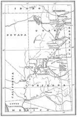
1914 Grand Canyon & Colorado River Map
Historic map of the Colorado River, from Wyoming to Mexico
15 miles away
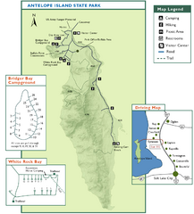
Antelope Island State Park Map
Trail map of Antelope Island State Park in the Great Salt Lake, Utah. Shows campgrounds.
24 miles away
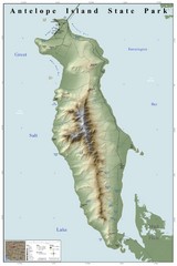
Antelope Island State Park Map
Shaded relief map of Antelope Island State Park, Utah. Shows facilities, peaks, and springs...
25 miles away
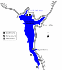
East Canyon State Park Map
East Canyon State Park is a 680-acre boating and year-round fishing delight nestled in the...
25 miles away
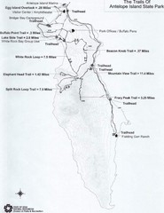
Antelope Island State Park Map
Antelope Island State Park, the largest island in the Great Salt Lake, is home to a roaming herd of...
27 miles away
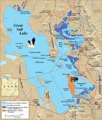
Great Salt Lake Map
27 miles away
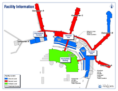
Salt Lake City International Airport Terminal Map
Official Terminal Map of Salt Lake City International Airport. Shows all terminals and facilities.
28 miles away
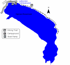
Hyrum State Park Map
Tucked away in Cache County, Hyrum State Park offers many recreation opportunities including...
29 miles away
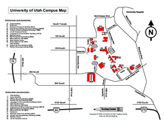
University of Utah Map
University of Utah Campus Map. All buildings shown.
29 miles away
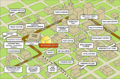
Salt Lake City Tourist Map
Tourist map of Salt Lake City, Utah. Shows points of interest.
30 miles away
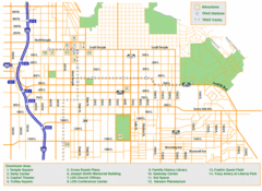
Downtown Salt Lake City Map
Street map of downtown Salt Lake City
30 miles away
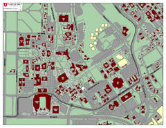
University of Utah Map
30 miles away
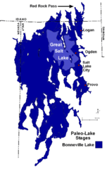
Lake Bonneville Levels Map
34 miles away
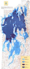
Ancient Lake Bonneville Map
34 miles away

Jordan River Parkway Map
35 miles away
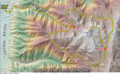
Logan Peak Trail Run Map 2009
Trail run map of the Logan Peak Trail Run 2009 course.
36 miles away
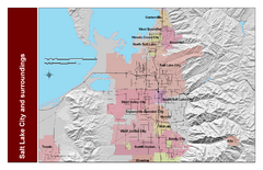
Salt Lake City and Surrounding Area Map
Cities and streets identified along with mountain range elevation.
36 miles away

Wasatch Front Watershed Map
37 miles away
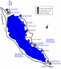
Rockport State Park Map
Find first-rate, year-round recreation at this northern Utah destination. During summer, fish, boat...
38 miles away
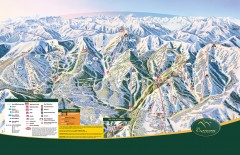
The Canyons Ski Trail Map
Official ski trail map of The Canyons ski area from the 2007-2008 season.
39 miles away
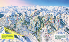
The Canyons Ski Trail Map
Trail map from The Canyons.
39 miles away

Park City Area Map
Area map of Park City, Utah
41 miles away
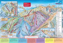
Park City Mountain Trail Map
Map of Park City Mountain's various ski trails
41 miles away
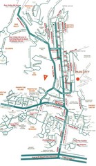
Park City town map
41 miles away
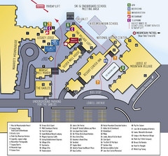
Park City Mountain Resort Map
42 miles away

Snowbird Trail Map
Ski trail map
42 miles away
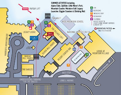
Park City Resort Base Map
Map of Park City Ski Area base buildings.
42 miles away

Solitude Mountain Resort Ski Trail Map
Trail map from Solitude Mountain Resort.
42 miles away
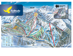
Solitude Ski Trail Map
Official ski trail map of Solitude Mountain Resort ski area from the 2007-2008 season.
42 miles away

Park City Map
Street map of Park City
42 miles away


