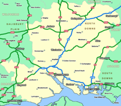
Southhampton Area Hotel Map
172 miles away
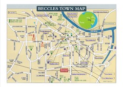
Beccles Town Map
173 miles away
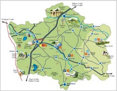
Banbridge District Tourism Map
Shows the locations of the main visitor attractions in the Banbridge District of Northern Ireland...
175 miles away
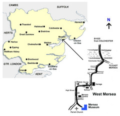
West Mersea Island Museum Map
175 miles away
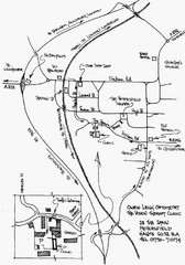
Petersfield, London Map
175 miles away
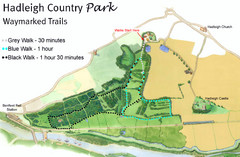
Hadleigh Country Park Map
3 walks, each color coded according to the estimated time it would take to complete each trek...
176 miles away
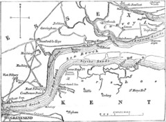
River Thames Map
Map of Thames from Gravesend to Canvey Island
177 miles away
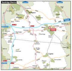
Tandridge District, England Region Map
177 miles away
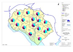
Methods of Travel in Southampton, UK Map
The methods of travel used by workers in Southampton
177 miles away
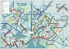
Southampton Public Transport Map
Public transport map of Southampton, England
177 miles away
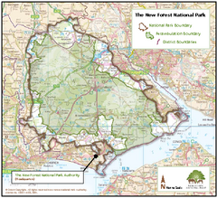
The New Forest National Park Map
Nice map with clear park boundaries.
177 miles away
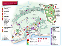
Carnfunnock Country Park Map
178 miles away
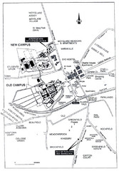
Maynooth Housing and Accommodation Map
Shows housing estates and accommodations in Maynooth, Ireland, home of the National University of...
178 miles away
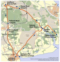
New Forest Bus Tour Map
178 miles away
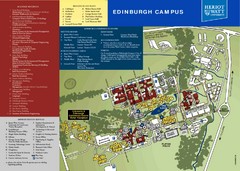
Heriot Watt University Map
Edinburgh campus map
178 miles away
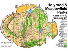
Holyrood Park Map
179 miles away
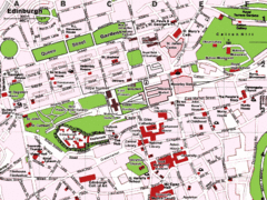
Edinburgh, Scotland Tourist Map
180 miles away
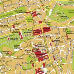
Edinburgh, Scotland Tourist Map
180 miles away
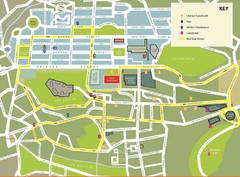
Edinburgh Tour Bus Map
180 miles away
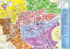
Edinburgh Walking Tourist Map
180 miles away
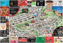
Edinburgh Mobimap Map
180 miles away
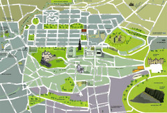
Edinburgh Tourist Map
Tourist map of Edinburgh, Scotland. Shows parks and major landmarks.
180 miles away
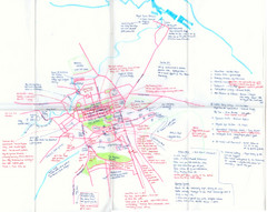
Hand Drawn Edinburgh Map
Map of architecture and points of interest in Edinburgh
180 miles away
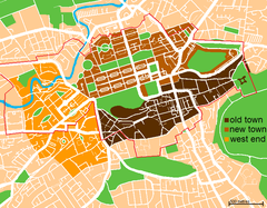
Map of Edinburgh
Shows the new town and old town of Edinburgh.
180 miles away
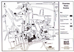
Tiverton Town Center Map
Black and white map shows major streets in Tiverton, Devon.
180 miles away
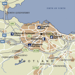
Edinburgh City Map
Simple city map marking parks, airports, streets and more.
181 miles away
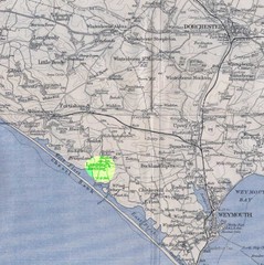
Dorchester, England Region Map
184 miles away
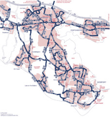
Fareham Busmap Map
Bus map of Portchester, Gosport and Fareham routes.
185 miles away
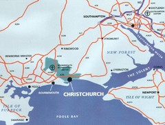
Christchurch, England Region Map
186 miles away

Bournemouth bus tour map
Bournemouth bus tour map - City Sightseeing
186 miles away
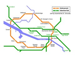
Glasgow Subway Map
Guide to underground and suburban rail
187 miles away
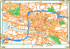
Glasglow Tourist Map
Tourist map of Glasglow, UK. Shows points of interest.
188 miles away
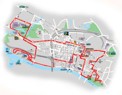
Glasgow Bus Tour Map
188 miles away
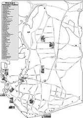
Portsmouth and Southsea Tourist Map
Tourist map of "where to go" in Portsmouth and Southsea, England. Includes photos of...
188 miles away
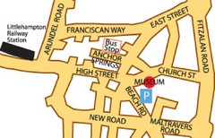
Museums in West Sussex, England Map
188 miles away
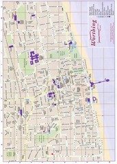
West Sussex, England Map
188 miles away
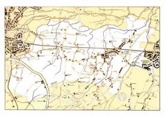
Capel Footpaths Map
Map of Footpaths in Capel Parish
188 miles away
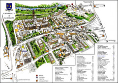
University of Glasgow Map
189 miles away
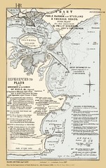
1857 Poole Harbor Map
Guide to the peninsula and improvements in the Harbor
189 miles away

Disabled Accessible Places in Maidstone, Kent Map
A guide to places in Maidstone that are wheelchair accessible.
189 miles away

