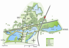
Whisby Nature Park Map
Shows park as of January 2009.
70 miles away
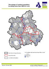
West Midlands Travel Time Statistics Map
Percentage of residents who travel to work in West Midlands, England
71 miles away
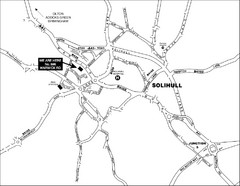
Solihull Town Map
72 miles away
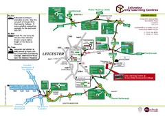
Leicester City Learning Centres Map
72 miles away
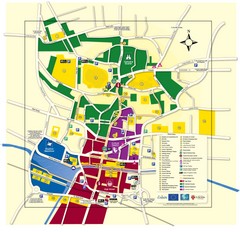
Lincoln Tourist Map
Tourist map of Lincoln, England. Shows points of interest.
73 miles away
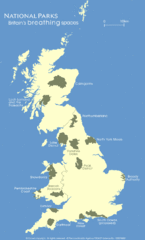
UK National Park Map
Shows locations of all national parks in the United Kingdom.
73 miles away
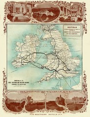
Historic United Kingdom Railroad Map
Guide to the connections of the Great Southern and Western Railways in the British Isles
75 miles away
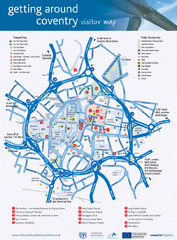
Coventry Tourist Map
Tourist map of central Coventry, England. Shows points of interest.
76 miles away

Main Historic Sites in Wales Map
Welsh Historic Monuments map (CADW) showing roads, cities and the main castles and abbeys in Wales.
77 miles away
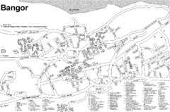
Bangor University Map
Map with numbered index to buildings on the campus of Bangor University in the United Kingdom.
77 miles away
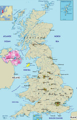
Northern Ireland Political Map
Guide to Northern Ireland and major cities in the United Kingdom
78 miles away
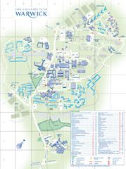
University of Warwick Campus Map
Near Coventry, West Midlands
78 miles away
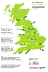
United Kingdom Map
79 miles away
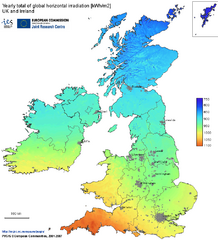
United Kingdom Solar Radiation Map
Guide to yearly total of global horizontal solar irradiation
79 miles away
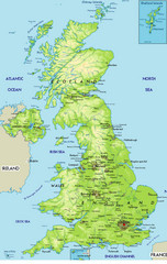
United Kingdom Physical Map
Guide to topography and physical features of Great Britain
83 miles away
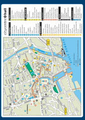
Hull City Centre Map
Tourist map of city of Hull. Shows points of interest including shopping, attractions, places...
83 miles away
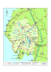
Lake District National Park Map
Detailed map marking the roads and boundaries of on of Britain's National Parks.
84 miles away
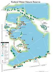
Map of Rudlin Nature Reserve
Full-color map of Rudlin Water Nature Reserve that includes the locations off all Footpaths...
84 miles away
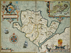
Anglesey Map
85 miles away
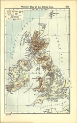
1911 British Isles Physical Map
Guide to physical features of the United Kingdom, then known as the British Isles
85 miles away
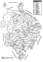
Warwichshire, England Region Map
86 miles away
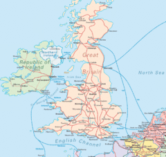
United Kingdom Transit Map
Guide to rail and ferries in the United Kingdom and surrounds
86 miles away

Woodhall Spa Map
Street map of Woodhall Spa
87 miles away
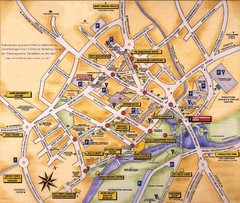
Stratford-upon-Avon Tourist Map
Tourist map of Stratford-upon-Avon, UK. Shows points of interest.
87 miles away
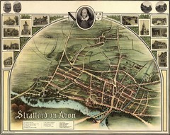
1902 Stratford-upon-Avon Map
Map of William Shakespeare's birthplace
88 miles away
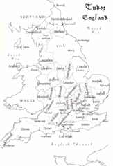
Tudor England Counties Map
Guide to the counties of England under Tudor reign
88 miles away
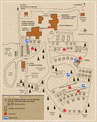
Castle Rigg Park Map
89 miles away
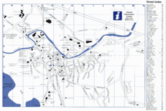
Keswick Tourist Map
Tourist map of Keswick, England. Shows all points of interest and has a street index.
90 miles away
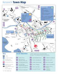
Keswick Town Map
Map of Keswick with Christian locations identified
90 miles away
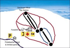
Swinhope Moor Sketch Ski Trail Map
Trail map from Swinhope Moor.
90 miles away
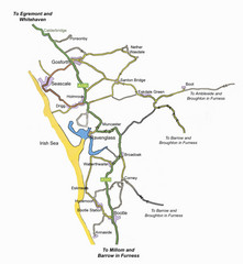
Whitehaven Wanderer Bus Route Map
91 miles away
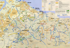
Redcar & Cleveland Horse Riding Routes Map
Horseriding route map of Redcar & Cleveland area, England shows public bridleways, public...
94 miles away
Delaine Bus Route Map
Map of bus routes throughout from Borne to Peterborough
96 miles away
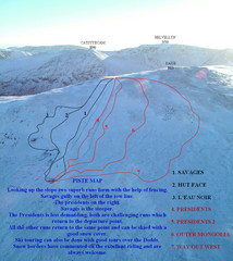
Raise Ski Trail Map
Trail map from Raise.
98 miles away
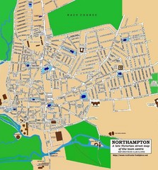
Northampton Town Map
Street map of Northampton from the late Victorian period
99 miles away
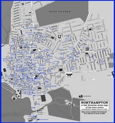
Northampton Town Map
Map of Northampton from the late Victorian period with public houses, inns, hotels, and pubs all...
99 miles away
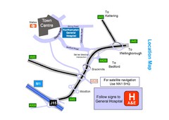
Central Northampton, England Tourist Map
Central Northampton in England
100 miles away
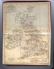
1910 Great Britain Map
101 miles away
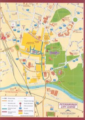
Peterborough City Center Map
City map of central Peterborough, England
102 miles away
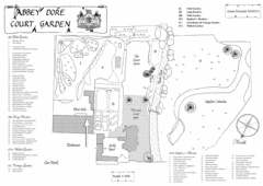
Abbey Dore Court Garden Map
103 miles away

