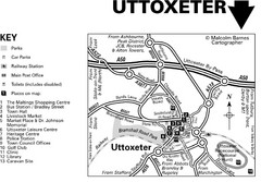
Uttoxeter Town Centre Map
39 miles away
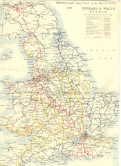
1887 - Prinicipal Railways in England and Wales...
Railways in England and Wales in 1887
40 miles away
University of Leeds Campus Map
Various buildings on the University of Leeds campus
40 miles away
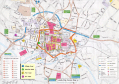
Leeds Tourist Map
Tourist map of city center of Leeds, UK
41 miles away
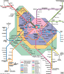
Leeds Metro Train Diagram Map
Metro system map for Leeds, England and surrounding cities.
41 miles away
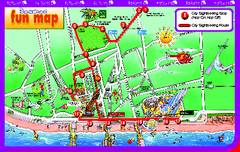
Blackpool Bus Tour Map
Blackpool Bus Tour Map - City Sightseeing
42 miles away

Blackpool Street Map
Street map of city of Blackpool, UK.
42 miles away
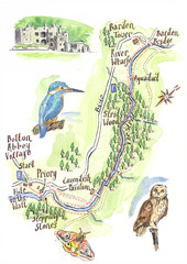
A walk around Bolton Abbey Yorkshire Map
A walk around Bolton Abbey in Yorkshire, Uk. Produced for Dales Life Magazine.
44 miles away
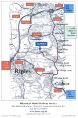
Central England Tourist Map
The area around Nottingham
44 miles away
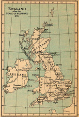
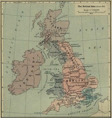
878 England Map
Guide to England after the Peace of Wedmore
45 miles away
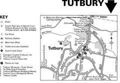
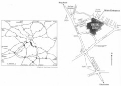
Tutbury Town Centre Map
45 miles away

DTb Master Diagram (early draft) Map
DUKERIES THINKBELT: MASTER DIAGRAM All elements and key
47 miles away
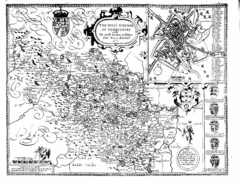
1610 Yorkshire County Historical Map
A 1610 map of Yorkshire Country in the United Kingdom
47 miles away
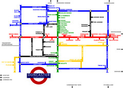
Doncaster Pup Guide Map
48 miles away
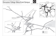
Doncaster College Waterfront Campus Map
B&W Printable version of the Doncaster College Waterfront Campus showing parking and vehicular...
48 miles away
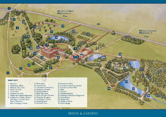
Weston Park Estate Map
48 miles away
Bawtry Road Bus Lane Map
49 miles away
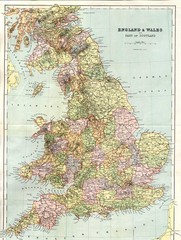
England and Wales Map
Guide to England, Wales and part of Scotland, showing counties
49 miles away
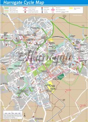
Harrogate Cycling Map
Shows traffic free cycling routes, advisory routes, traffic calmed roads, cycle lanes, bike shops...
51 miles away
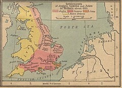
600 British Settlement Map
Map of settlements of Angels, Saxons, Jutes and Native Britons in 600
51 miles away
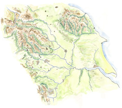
Yorkshire topography Map
53 miles away
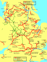
UK Broad Beam Canal Map
Guide to UK waterways that accommodate a barge
53 miles away
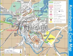
Knaresborough Cycling Map
Shows traffic free cycling routes, advisory routes, traffic calmed roads, cycle lanes, bike shops...
54 miles away
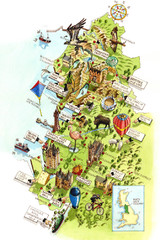
North West England Map
North West England map by Katherine Baxter
57 miles away
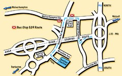
Bentley Map
Location map for Bentley. Includes roads, bus stops, and directions to Bentley Pavilion.
58 miles away
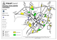
Downtown Walsall Parking Map
58 miles away
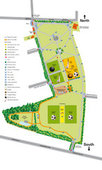
Palfrey Park Map
Detail map of Palfrey Park
59 miles away
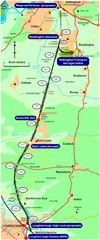
Nottingham Transport Map
A map showing train stations in Loughborough to Nottingham. Includes surrounding roads, towns...
61 miles away
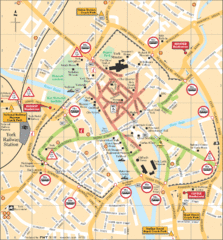
York Tourist Map
62 miles away
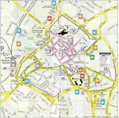
York England Tourist Map
Tourist map of York England showing roads, tourist sites ad railways.
62 miles away
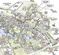
University of York Campus Map
Relevant landmarks and main roads and buildings
62 miles away
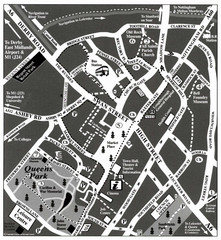
Loughborough Town Centre Map
63 miles away
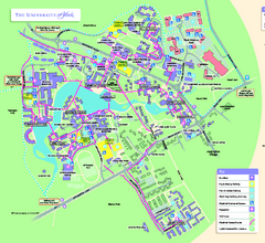
University of York Map - Heslington Campus
Campus map of the University of York Heslington Campus near York, England.
63 miles away
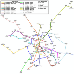
Birmingham Transit Map
Guide to bus lines in Birmingham, UK
64 miles away
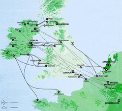
Ireland to Luxembourg Travel Map
Major routes from Ireland to Luxembourg. Shows major cities in Ireland, England, Germany and the...
64 miles away

Birmingham City Map
Street map of Birmingham, England. Shows buildings, hospitals, parking, and schools.
66 miles away
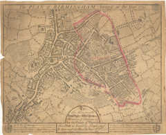
1731 Birmingham Map
Guide to historic Birmingham, UK
66 miles away
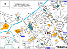
Central Birmingham Map
66 miles away
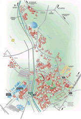
University of Birmingham Map
Guide to Birmingham University and surrounds
67 miles away

