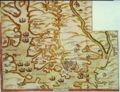
Plymouth Map 1500s
Map of Plymouth, England area in late 1500s
223 miles away
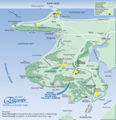
Mount Edcumbe Tourist Map
226 miles away
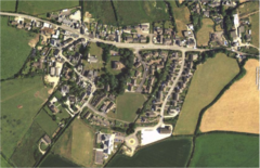
St Issey in Bloom Map
230 miles away
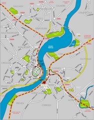
Londonderry Map
231 miles away
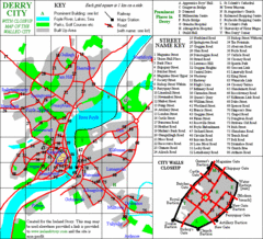
Derry/Londonderry Map
231 miles away
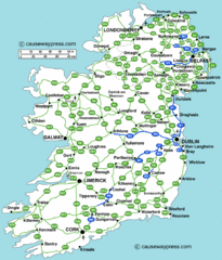
Road Map of Ireland
Road map of Ireland showing all motorways and major roads.
233 miles away
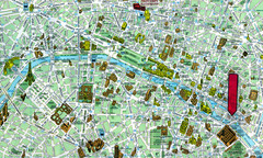
Paris, France Tourist Map
235 miles away
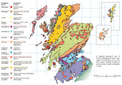
Scotland Geology Map
Guide to Scotland and its geology
235 miles away
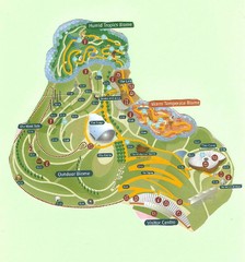
2006 Eden Project Map
Guide to the largest greenhouse in the world, built inside of an old quarry
235 miles away
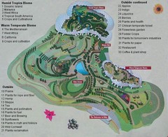
2000-2004 Eden Project Map
Guide to largest greenhouse in the world, the Eden Project
235 miles away
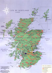
Scotland Road Map
Guide to Scotland, its major cities and roads
236 miles away
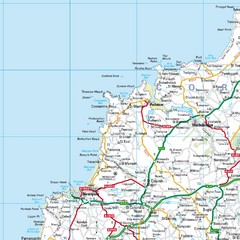
Cornwall Coast Map
Map of coast cities in Cornwall
239 miles away
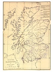
Scotland Glaciation Map
Guide to glacial movement that formed Scotland
240 miles away
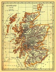
1641-1892 Scotland Map
Guide to Scotland and its counties, from 1641-1892
240 miles away
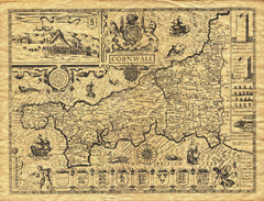
Old Maps: Cornwall Map
Map of Cornwall from The Theatre and Empire of Great Britain
241 miles away
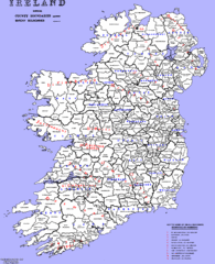
Ireland County/ Barony Map
Barony and County Map of Ireland
242 miles away
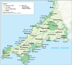
Cornwall Map
Map of Cornwall with detail of towns and cities
243 miles away
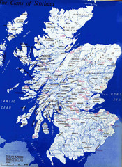
Scotland Clan Map
Guide to clans and prominent families in Scotland
244 miles away
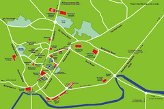
Letterkenny Map
245 miles away
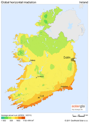
Solar Radiation Map of Ireland
Solar Radiation Map Based on high resolution Solar Radiation Database: SolarGIS. On the Solar Map...
246 miles away
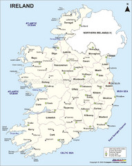
Ireland Political Map
246 miles away
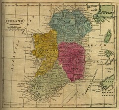
1808 Ireland Historical Map
246 miles away
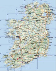
Ireland Tourist Map
246 miles away
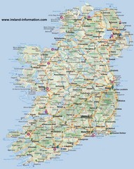
Ireland Travel Map
Map of Ireland detailing cities, major roads and airports.
246 miles away
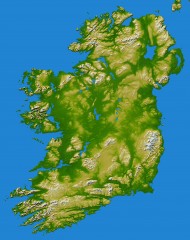
Ireland Topo Map
Shading and color-coding of topographic height.
246 miles away
Glen Coe Ski Trail Map
Trail map from Glen Coe.
246 miles away
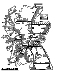
Scotland Rail Map
Guide to rail and ferries in Scotland
247 miles away
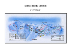
Glenshee Ski Centre Ski Trail Map
Trail map from Glenshee Ski Centre.
253 miles away
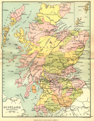
Scotland Counties Map
Map of Scotland and its counties
255 miles away

Isle of Bute Guide Map
257 miles away
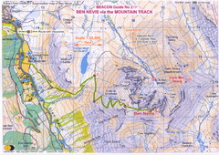
Ben Nevis Trail map
Map of the mountain track to the summit of Ben Nevis, the highest mountain in Scotland and the...
258 miles away
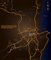
Aberdeen City Map
City map of Aberdeen with accommodations
258 miles away
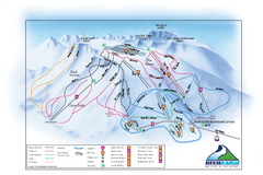
Nevis Range Ski Trail Map
Trail map from Nevis Range.
259 miles away
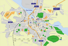
Sligo City Map
Map of Sligo with tourist information
260 miles away

St Ives Cornwall Tourist Map
A large, detailed map of St. Ives. Marked with street names and many of the basic services such as...
260 miles away
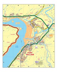
Fort William, Scotland Map
Map shows Fort William including all streets, train tracks, rivers, and streams.
261 miles away
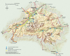
Cairngorms National Park Map
This map shows the boundaries of the Cairngorms National Park, which stretch from Grantown on Spey...
262 miles away
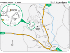
Aberdeen Airport Map
263 miles away
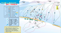
The Lecht Ski Trail Map
Trail map from The Lecht.
263 miles away

