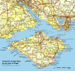
Isle of Wight Map
Based on 1950's map with no motorways
189 miles away
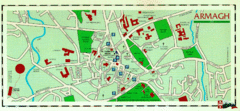
Armagh Ireland Street Map
Street Map of Armagh City, Ireland showing tourist information center, streets, churches and...
190 miles away
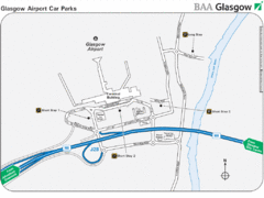
Glasgow Airport Map
191 miles away
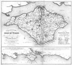
Isle of Wight Map
192 miles away
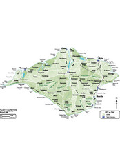
Isle of Wight Map
192 miles away
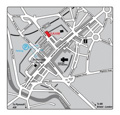
Royal Albert Memorial Museum Location Map
193 miles away
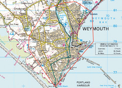
Weymouth, England Region Map
194 miles away
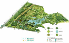
Stover Country Park Map
194 miles away
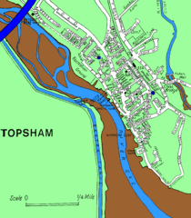
Topsham Street Map
195 miles away
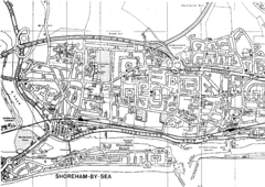
Shoreham-by-Sea, England City Map
197 miles away
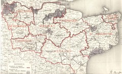
Kent, England County Map
199 miles away
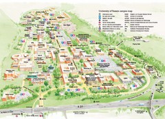
University of Sussex Campus Map
Official campus map of University of Sussex. Shows campus buildings and points of interest.
199 miles away
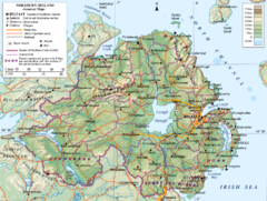
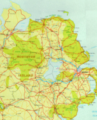
Northern Ireland General Map
Guide to Northern Ireland, major cities, topography and roads
199 miles away
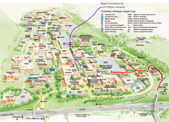
University of Sussex Campus Map
199 miles away
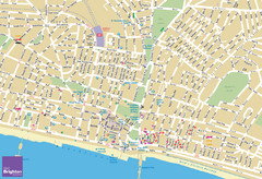
Brighton Tourist Map
Street map of Brighton, UK. Shows gay points of interest.
200 miles away
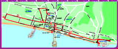
Brighton bus tour map
Brighton bus tour map - City Sightseeing
201 miles away
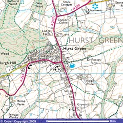
Hurst Green, England City Map
202 miles away
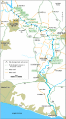
East Sussex, England City Map
203 miles away
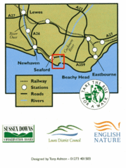
East Sussex, England Bus System Route Map
203 miles away
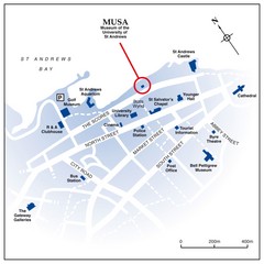
St. Andrews, Scotland Tourist Map
Shows several locations, including University of St. Andrews, in St. Andrews, Scotland
204 miles away
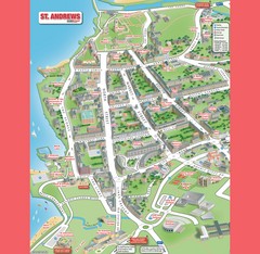
St. Andrews Map
Tourist map of St. Andrews
204 miles away

St Andrews Scotland Tourist Map
Illustrated tourist Map of St. Andrews, Scotland showing historical building and streets.
204 miles away
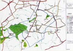
Hoath Town Map
Handwritten map of town of Hoath, England near Canterbury.
204 miles away
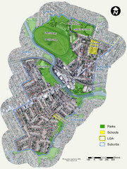
Canterbury Map
Map of parks, main streets, etc.
205 miles away
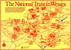
Wessex Scotland Historical Places Map
Illustrated tourist map of Wessex, Scotland showing historical landmarks.
207 miles away
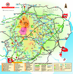
Dartmoor National Park Map
Official visitor map of Dartmoor National Park, England. Shows elevation and visitor attactions.
208 miles away
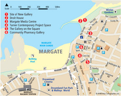
Margate Tourist Map
Tourist map of Margate, England.
208 miles away
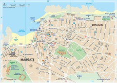
Margate TouristMap Map
209 miles away

Thanet Isle Map
1809 Guide to Thanet Isle in Britain
209 miles away

Broadstairs Tourist Map
211 miles away
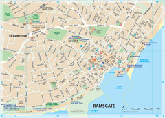
Ramsgate Tourist Map
Near Kent, England
212 miles away
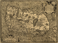
Ortelius’ Map of Ireland (1598)
Abraham Ortelius' map of Ireland in 1598.
212 miles away
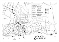
Eastbourne England Tourist Map
Central Eastbourne, England street level tourist map showing tourist sites, parks and city...
213 miles away

South Hams England Map
Map of South Hams, England showing cities,parks, major roads and railways.
217 miles away
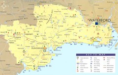
Waterford Tourist Map
This map and key allow you to find a high number of activities and points of interest in this fun...
217 miles away
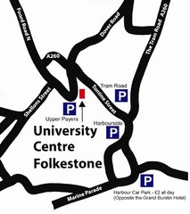
University Centre at Folkestone Map
218 miles away
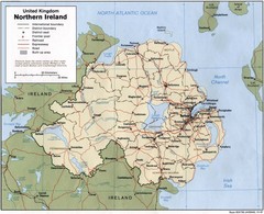
Northern Ireland Map
Map of Northern Ireland showing roads, cities, railroads and borders.
218 miles away
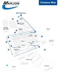
University College Plymouth Map
University College Plymouth St Mark & St John Derriford Road, Plymouth, Devon PL6 8BH
221 miles away

