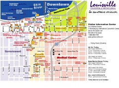
Louisville, Kentucky Tourist Map
316 miles away
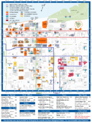
Louisville, Kentucky Tourist Map
316 miles away
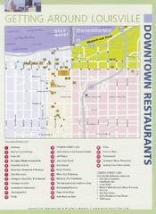
Downtown Louisville Restaurant Map
316 miles away
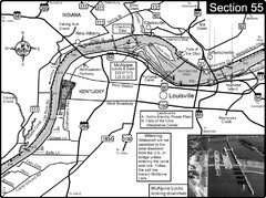
Ohio River at Louisville, KY & Southern...
This is from the Ohio River Guidebook
316 miles away
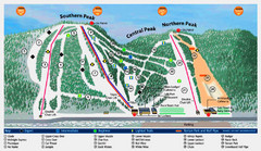
Labrador Mountain Ski Trail Map
Trail map from Labrador Mountain.
316 miles away
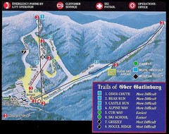
Ober Gatlinburg Ski Resort Ski Trail Map
Trail map from Ober Gatlinburg Ski Resort.
316 miles away
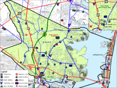
Tom's River, New Jersey City Map
316 miles away
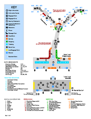
Louisville International Airport Terminal Map
Official Map of the Louisville International Airport. Shows all terminals and facilities.
316 miles away
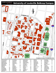
University of Louisville Map
University of Louisville Campus Map. All buildings shown.
316 miles away
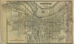
Antique map of Louisville from 1873
Map of Louisville, Kentucky from Appletons' Hand-Book of American Travel, Southern Tour...
316 miles away

Six Flags Kentucky Kingdom Theme Park Map
Official Park Map of Six Flags Kentucky Kingdom in Kentucky.
316 miles away

The Reserve Shaded Relief Map
This map is a shaded relief property map of The Reserve in North Carolina with survey boundaries...
317 miles away
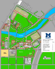
University of Michigal-Flint Bus Route Map
317 miles away
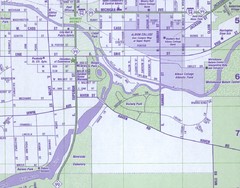
Albion City Map
City map of Albion, Michigan
317 miles away
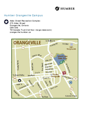
Humber College Orangeville Campus Map
Humber College Orangeville Campus Map. Shows all areas.
317 miles away

Harvey Cedars, New Jersey Map
317 miles away
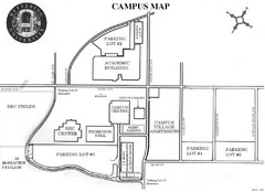
Kettering University Campus Map
Campus map of Kettering University in Flint, Michigan
317 miles away
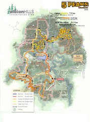
Albion Hills Running Course Map
Map shows the Enduro Course, Sport Course and Half Marathon Course for the 5 Peaks trail running...
318 miles away
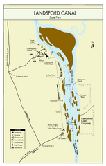
Landsford Canal State Park Map
Clear map with detailed legend marking this beautiful state park.
319 miles away
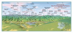
Northwest Reserve Panorama Map
Panoramic Map of the view Northwest from the Reserve in Brevard, North Carolina.
319 miles away

Panoramic View of the Reserve Map
Panoramic map of the view northeast from 'Gladiola Ridge' in Brevard, North Carolina.
319 miles away
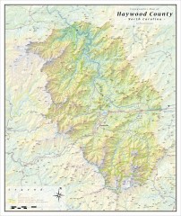
Haywood County Topographical Map
This topographic wall map of Haywood County emphasizes the rugged mountain terrain and natural...
319 miles away
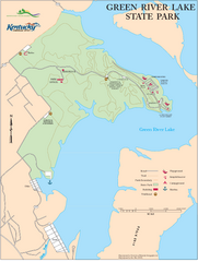
Green River Lake State Park Map
Map of trails and facilities in Green River Lake State Park.
319 miles away
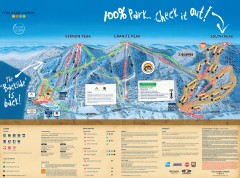
Mountain Creek Ski Trail Map
Official ski trail map of Mountain Creek ski area from the 2007-2008 season. (formerly Vernon...
320 miles away

Map of Southern Blue Ridge Escarpment
Map of the Nature Conservancy's Southern Blue Ridge Escarpment project area showing protected...
320 miles away
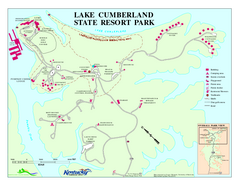
Lake Cumberland State Resort Park Map
Map of trails and facilities for Lake Cumberland State Resort Park.
320 miles away
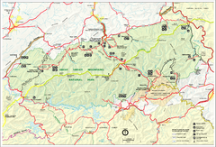
Great Smokey Mountains National Park Trail Map
Hiking trails.
320 miles away
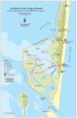
Island Beach State Park Canoe and Kayak map
Canoe and kayak guide to the Sedge islands in Island Beach State Park near Barnegat Bay, NJ. The...
320 miles away

Mountain Creek South Ski Trail Map
Trail map from Mountain Creek.
320 miles away
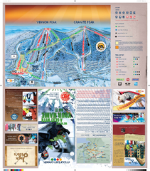
Mountain Creek North Ski Trail Map
Trail map from Mountain Creek.
320 miles away
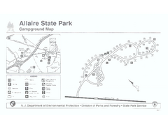
Allaire State Park campground map
Campground map for Allaire State Park in Vermont
320 miles away
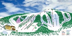
Hockley Valley Resort Ski Trail Map
Trail map from Hockley Valley Resort, which provides downhill skiing. This ski area has its own...
321 miles away

Hidden Valley Ski Trail Map
Trail map from Hidden Valley.
321 miles away
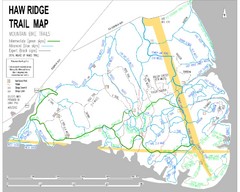
Haw Ridge Trail Map
322 miles away
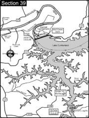
Lake Cumberland-Cumberland River Map
Lake Cumberland is formed by a dam on the Cumberland River in Section 39 of the Cumberland River...
322 miles away
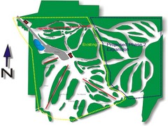
Cedar Highlands Ski Trail Map
Trail map from Cedar Highlands.
322 miles away
Great Smoky Mountains National Park - Trail map
Official trail map of Great Smoky Mountains National park. Shows all trails, park roads, visitor...
322 miles away
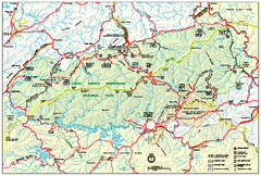
Great Smoky Mountains National Park - Park map
Official park map of Great Smoky Mountains National park. Shows location of all park roads...
322 miles away
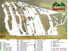
Toggenburg Ski Center Ski Trail Map
Trail map from Toggenburg Ski Center.
323 miles away
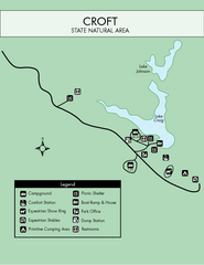
Croft State Park Map
Simple state park map.
323 miles away

