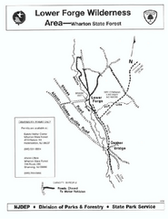
Lower Forge camp area map
Camp area map for the Lower Forge area in Wharton State Forest in New Jersey
289 miles away
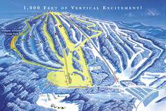
Elk Mountain Ski Trail Map
Trail map from Elk Mountain.
289 miles away

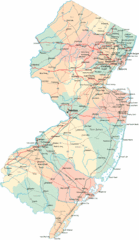
New Jersey Tourist Map
Hand drawn tourist map of state of New Jersey, 1955.
289 miles away

Hilton Falls Trail Map
Guide to Hilton Falls Conservation Area and Reservoir
289 miles away
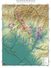
Alexander Mountain Estate Map
Vineyards in Alexander, North Carolina
289 miles away

Rattlesnake Point Trail Map
289 miles away
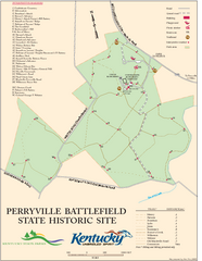
Perryville Battlefield State Historic Site Map
Map of trails and interpretive markers for the historical site of Perryville Battlefield.
289 miles away
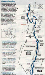
Deleware River Boat Map
289 miles away
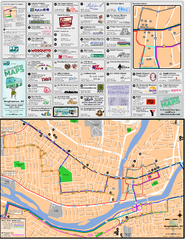
Binghampton Bus Route Map
289 miles away
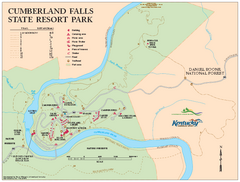
Cumberland Falls State Resort Park map
Detailed recreation map for Cumberland Falls State Resort Park in Kentucky
290 miles away
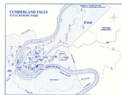
Cumberland Falls State Resort Park Map
Cumberland Falls Park Area Map
290 miles away
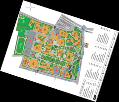
Queen's College Map
290 miles away
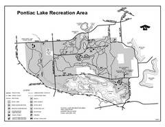
Pontiac Lake Recreation Area, Michigan Site Map
290 miles away
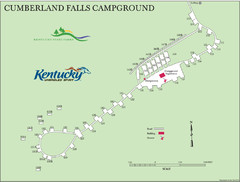
Cumberland Falls Map
290 miles away
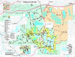
Promised Land State Park map
Detailed recreation map for Promised Land State Park in Pennsylvania
291 miles away
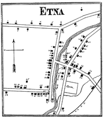
Etna 1897 City Map
Key to the Map of Etna (1897) 1. Mrs. C. Turner. 38. Blacksmith Shop. 2. J. T. Primrose. 39. Houtz...
291 miles away
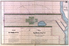
Antique map of Egg Harbor City from 1857
Antique map of Egg Harbor City, New Jersey from 1857.
291 miles away
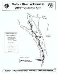
Mullica River camp area map
Camp area map for the Mullica River camp area in Wharton State Forest, New Jersey.
291 miles away
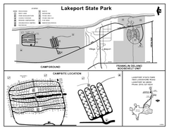
Lakeport State Park, Michigan Site Map
291 miles away
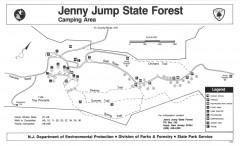
Jenny Jump State Forest map
Trail and camping map of Jenny Jump State Forest in New Jersey.
292 miles away
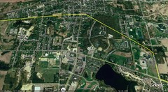
Interurban Track through Chelsea, Michigan Map
A map of the Detroit, Jackson and Chicago Railway interurban track as it went through Chelsea...
292 miles away
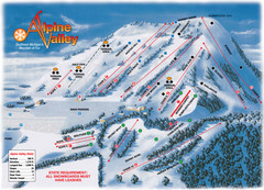
Alpine Valley Ski Trail Map
Trail map from Alpine Valley.
292 miles away
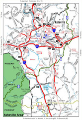
Asheville, NC Tourist Map
292 miles away
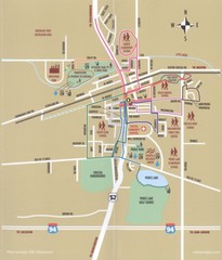
Chelsea MI Map
292 miles away
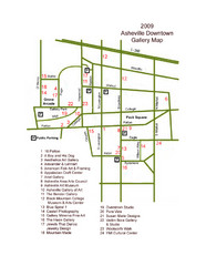
Downtown Asheville Galleria Map
Numbered shopping map of Downtown Asheville.
292 miles away
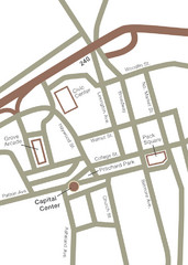
Downtown Asheville Map
Located in the heart of Asheville’s professional, municipal and cultural activity, Capital...
292 miles away
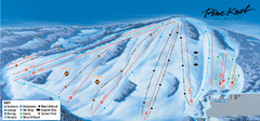
Pine Knob Ski Resort Ski Trail Map
Trail map from Pine Knob Ski Resort.
293 miles away

Rochester, New York City Map
293 miles away
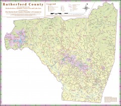
Tourist map of Rutherford County
Map of Rutherford County with detail panels for Rutherfordton, Spindale, Forest City, and Lake Lure.
293 miles away

Terry Fox Run Trail Map
293 miles away

St. John Fisher College Map
Campus map
293 miles away

Downtown Rochester, New York Map
Tourist map of downtown Rochester, New York. Various areas of interest, parking, and streets are...
294 miles away
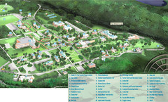
Hanover College Campus Map
Campus map of Hanover College in Hanover, IN. Shows all buildings including large number of...
294 miles away
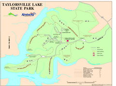
Taylorsville Lake State Park Map
Map of trails and facilities in Taylorsville Lake State Park.
294 miles away
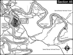
Burnside, KY-Cumberland River Map
Burnside, Kentucky is located at the fork of the Cumberland River and the South Fork. This is...
294 miles away

Tanglwood Ski Area Ski Trail Map
Trail map from Tanglwood Ski Area, which provides downhill, night, and terrain park skiing. It has...
295 miles away
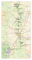
Asheville, North Carolina Parkway Map
295 miles away
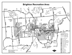
Brighton Recreation Area, Michigan Site Map
295 miles away
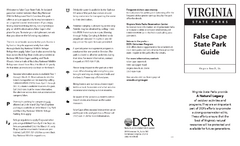
False Cape State Park Map
Clear state park map
295 miles away

