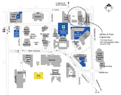
University of Michigan Map
Campus map
280 miles away
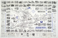
King's Highway Ontario Inn Map
Includes sketches of inns and guesthouses along the King's Highway in Ontario and...
280 miles away
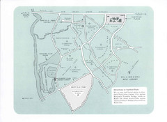
Willingboro Map
280 miles away

University of Michigan - North Campus Map
280 miles away
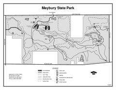
Maybury State Park, Michigan Site Map
280 miles away
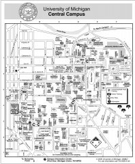
University of Michigan - Ann Arbor Map
University of Michigan - Ann Arbor, campus map. All buildings shown.
280 miles away
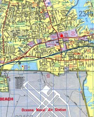
Virginia Beach, Virginia City Map
281 miles away
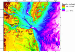
Digital Elevation Relief of Virginia Beach Map
The digital elevation model represents the bare-earth relief of the coastal zone around Virginia...
281 miles away
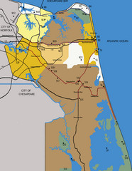
Virginia Beach Tourist Map
281 miles away
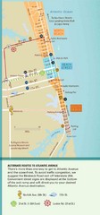
Virginia Beach Tourist Map
281 miles away
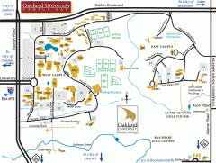
Oakland University Map
Oakland University Campus Map. All buildings shown.
281 miles away
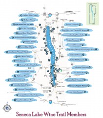
Seneca Lake Wine Trail Map
Winery tour map of Seneca Lake area in New York. Shows all vineyards that are members of the wine...
283 miles away
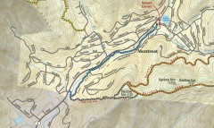
Montreat trail map
Detailed guide to the trail system surrounding the village of Montreat, NC.
283 miles away
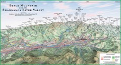
Black Mountain Panorama map
Panoramic map of the Black Mountain, NC and Swannanoa River Valley. Shows all mountains with...
283 miles away
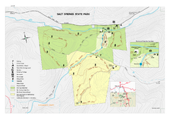
Salt Springs State Park map
Detailed recreation map of Salt Spring State Park in Pennsylvania.
283 miles away
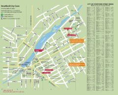
Stratford Tourist Map
Tourist map of center of Stratford, Ontario. Has street index and shows points of interest. Note...
283 miles away
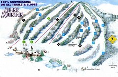
Alpine Mountain Ski Trail Map
Trail map from Alpine Mountain.
283 miles away
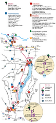
Canadaigua Wine Trail Map
Map of the Canadaigua Wine Map in Canadaigua, New York. Shows all wineries and vineyards in the...
284 miles away
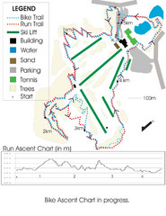
Chicopee Ski Club Summer Ski Trail Map
Trail map from Chicopee Ski Club, which provides downhill skiing. This ski area has its own website.
284 miles away

Atsion Campground Map
Campground map for Atsion Campsites in Wharton State Forest in NJ
284 miles away
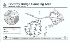
Godfrey Bridge Campground Map
Map of Godfrey Bridge Campground in Wharton State Forest, New Jersey.
285 miles away

Cornell University Map
285 miles away
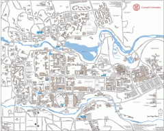
Cornell Campus Map
Map of Cornell University's Ithaca campus
286 miles away
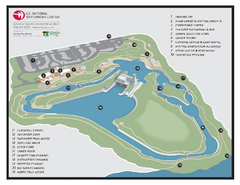
US National Whitewater Center Map
Facility map of the US National Whitewater Center in Charlotte, North Carolina
286 miles away
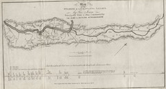
Wyoming and Lackawanna Valleys Map
Railbed from the coal mine at Carbondale to the canal on the Lackawaxen River. Historical map.
286 miles away
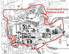
Map of Water contamination at Cornell University...
286 miles away

Goshen Pond camp area map
Camp area map for Goshen Pond in Wharton State Forest in New Jersey.
286 miles away
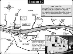
Ohio River at Madison, IN and Milton, KY Map
This is a page from the Ohio River Guidebook. The map shows important information for boaters and...
286 miles away
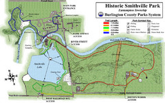
Smithville Park Trail Map
287 miles away
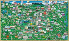
Waterloo Tourist Map
Tourist map of Waterloo, Ontario and the St. Jacobs area. Shows business logos and phone numbers.
287 miles away

Charlotte, North Carolina City Map
287 miles away
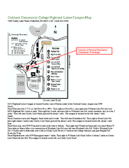
Oakland Community College Highland Lakes Campus...
Oakland Community College Highland Lakes Campus Map. Highland Lakes Campus is located in Waterford...
287 miles away
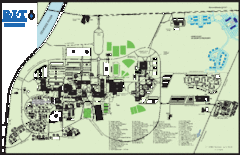
Rochester Institute of Technology Campus Map
Map of RIT campus.
288 miles away
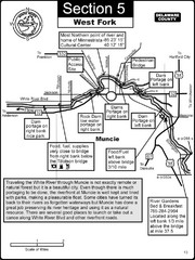
Muncie, IN White River West Fork Map
This is a page from the White River Guidebook. The map shows important information for boaters and...
288 miles away

North Carolina Road Map
Road map of North Carolina
288 miles away
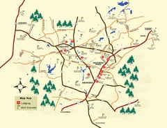
Pinehurst Golf Map
288 miles away
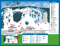
Glen Eden Ski Trail Map
Trail map from Glen Eden, which provides downhill skiing. This ski area has its own website.
288 miles away
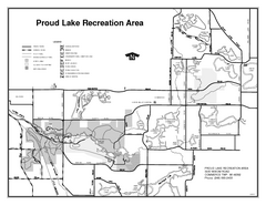
Proud Lake Recreation Area, Michigan Site Map
289 miles away
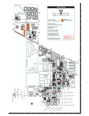
Ball State University Map
Ball State University Campus Map. All buildings shown.
289 miles away
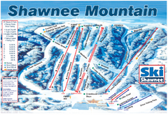
Shawnee Mountain Ski Trail Map
Trail map from Shawnee Mountain.
289 miles away

