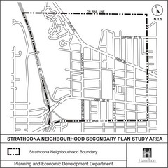
Strathcona Neighbourhood Map
272 miles away
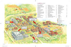
McMaster University Map
Campus map
272 miles away
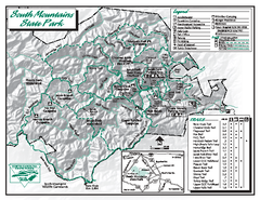
South Mountains State Park map
Detailed recrational map for South Mountain State Park in North Carolina
272 miles away
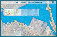
Port of Hamilton Map
Shows piers and tenants of Port of Hamilton, Ontario
273 miles away
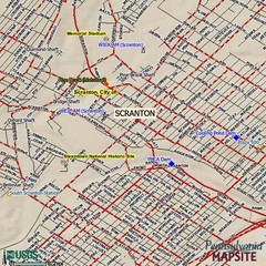
Scranton, Pennsylvania City Map
273 miles away
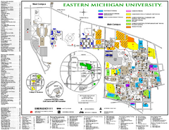
Eastern Michigan University Map
Eastern Michigan University Campus Map. All areas shown.
273 miles away
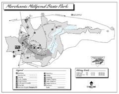
Merchants Millpond State Park map
Detailed recreation map for Merchants Millpond State Park in North Carolina
273 miles away
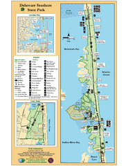
Deleware Seashore State Park Map
Park with perfect views and hiking routes.
273 miles away
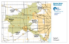
Huron River Watershed Map
Creek and watershed map of Huron River
273 miles away
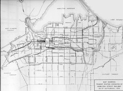
1959 Transit Routes of Hamilton Harbor Map
274 miles away
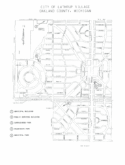
Lathrup Village Street Map
274 miles away

Bristol Mountain Ski Resort Ski Trail Map
Trail map from Bristol Mountain Ski Resort.
274 miles away
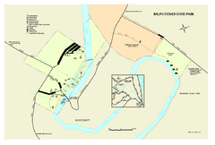
Ralph Stover State Park map
Detailed recreation map for Ralph Stover State Park in Pennsylvania
274 miles away
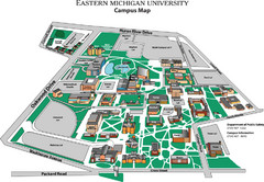
Eastern Michigan University Map
Map of EMU campus
274 miles away
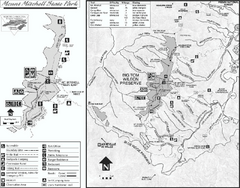
Mount Mitchell State Park map
Detailed recreational map for Mt. Mitchell State Park in North Carolina
275 miles away
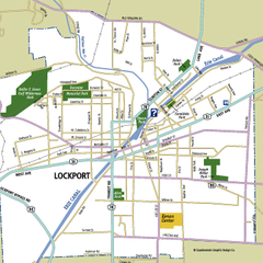
Lockport, New York Map
Map of downtown Lockport, New York, with parks, hospitals, and other points of interest shown.
275 miles away
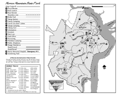
Morrow Mountain State Park map
Detailed recreational map for Morrow Mountain State Park in North Carolina
275 miles away
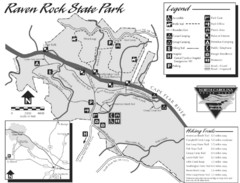
Raven Rock State Park Map
275 miles away
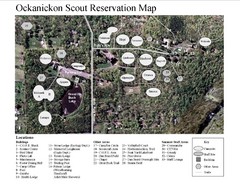
Camp Okanickon Scout Reservation Map
Location Map for Boy Scout Camp in Pennsylvania
275 miles away
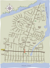
Bethany Beach Tourist Map
275 miles away
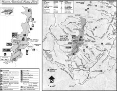
Mount Mitchell State Park map
Official map of Mt. Mitchell State Park in North Carolina. Park contains the 6,684 ft summit of...
275 miles away

Delaware Canal State Park map
Detailed map of Delaware Canal State Park in Pennsylvania. Long dimension.
276 miles away
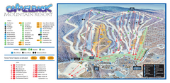
Camelback Ski Trail Map
Ski trail map of Camelback ski area
276 miles away

Big Pocono State Park map
Detailed map for Big Pocono State Park in Pennsylvania.
276 miles away
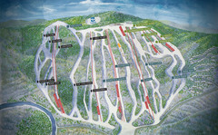
Jack Frost Ski Area Ski Trail Map
Trail map from Jack Frost Ski Area.
276 miles away
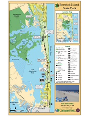
Fenwick Island State Park Map
Great state park map with clear key.
276 miles away
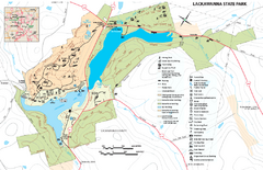
Lackawanna State Park Map
Detailed map of Lackawanna State Park in Pennsylvania.
277 miles away
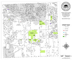
Pittsfield Twp MI street map
277 miles away
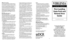
First Landing State Park Map
Clearly marked state park map with facilities and trails easily found.
277 miles away
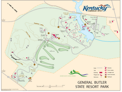
General Butler State Resort Park Map
Map of trails, facilities and golf course in General Butler State Resort Park.
277 miles away
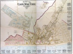
Antique map of Cape May from 1886
Antique map of Cape May, New Jersey from 1886.
277 miles away
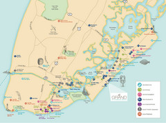
Diamond Beach Tourist Map
278 miles away

Tyler State Park map
Detailed recreation map for Tyler State Park in Pennsylvania
278 miles away

Neshaminy State Park map
Detailed recreation map of Neshaminy State Park in Pennsylvania
279 miles away
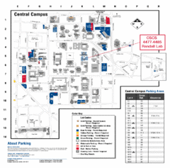
University of Michigan Visitor Map
Map of the University of MI. Shows the location of all parking lots and a color key that describes...
280 miles away
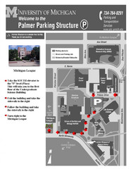
University of Michigan Palmer Parking Map
Map of Visitor Parking Areas with specific directions. Includes location of all surrounding...
280 miles away
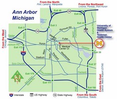
Ann Arbor, Michigan City Map
280 miles away
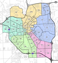
Ann Arbor City Map
City map of Ann Arbor, Michigan, with voting precincts.
280 miles away
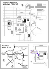
University of Michigan Medical Campus Visitor Map
Map of University of Michigan Medical Campus and Map showing the location of the school within Ann...
280 miles away
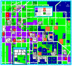
University of Michigan Campus Map
Map of the University of Michigan campus. Includes all buildings, streets and surrounding...
280 miles away

