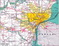
Detroit, Michigan City Map
259 miles away
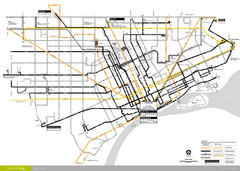
DDOT 2006 System Map
Detroit Department of Transportation Transit System.
259 miles away
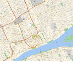
Detroit, MI Tourist Map
259 miles away
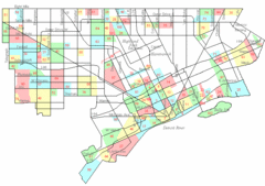
Detroit Neighborhoods Map
259 miles away
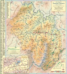
Yancey County Chamber of Commerce Map
Map of Yancey County, North Carolina. Shows all public roads, communities, hiking trails and picnic...
259 miles away
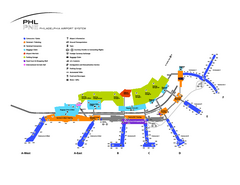
Philadelphia International Airport Terminal Map
Official Map of Philadelphia International Airport. Shows all terminals.
260 miles away

Hickory Run State Park Map
Detailed map of Hickory Run State Park in Pennsylvania.
260 miles away
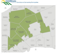
Middlesex County Map
Guide to Middlesex County and surrounds
260 miles away
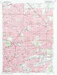
Northeast Buffalo Topo Map
1:24,000 topographic map of the northeast part of Buffalo, New York and surrounding suburbs...
260 miles away
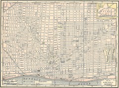
Map of the Main Portion of Detroit - 1895
Map of downtown Detroit, 1895. From Rand McNally's Atlas of the World, 1901, page 42
260 miles away
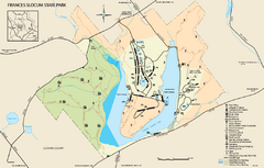
Frances Slocum State Park map
Detailed map of Frances Slocum State Park in Pennsylvania.
260 miles away
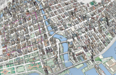
map a
261 miles away
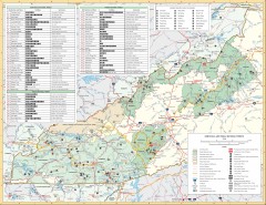
Pisgah National Forest and Nantahala National...
Pisgah National Forest and Nantahala National Forest recreation map. Contains list of all...
261 miles away
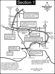
Fort Recovery, OH & beginning of the Wabash...
This is a page from the Wabash River Guidebook. The map shows important information for boaters and...
261 miles away
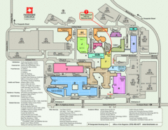
Fanshawe College Map
Campus map of London Campus
261 miles away

Wayne State University Map
261 miles away
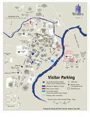
University of Western Ontario Map
Campus map
262 miles away
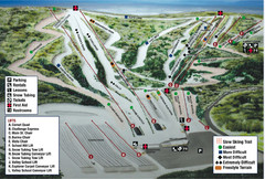
Blue Mountain Ski Area Ski Trail Map
Trail map from Blue Mountain Ski Area.
262 miles away
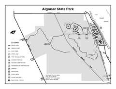
Algonac State Park, Michigan Site Map
263 miles away
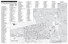
Penn State University Park Campus Map
263 miles away
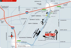
Detroit Metro Airport Area Map
263 miles away
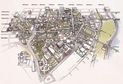
University of Pennsylvania 3D campus map
Aerial perspective of the UPenn campus. Shows street names but not building names. To view...
263 miles away
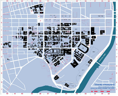
University of Pennsylvania Map
University of Pennsylvania Campus Map. All buildings shown.
263 miles away
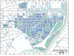
university of pennsylvania Map
263 miles away

Fort Washington State Park map
Map of Fort Washington State Park in Pennsylvania.
263 miles away
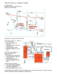
Mohawk College - Brantford Campus Map
Mohawk College - Brantford Campus Map. All areas shown.
263 miles away
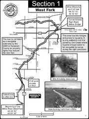
Winchester, IN Beginning of the White River-West...
This is a page from the White River Guidebook. The map shows important information for boaters and...
263 miles away

Philadelphia Germantown Map
264 miles away
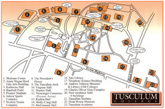
Tusculum College Campus Map
Campus map of Tusculum College in
264 miles away
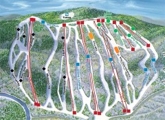
Jack Frost Ski Trail Map
Official ski trail map of Jack Frost ski area from the 2006-2007 season.
264 miles away
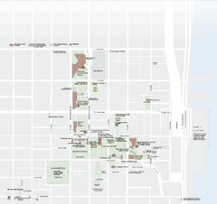
Independence National Historical Park Official Map
Official NPS map of Independence National Historical Park in Pennsylvania. Map shows all areas...
264 miles away
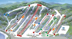
Big Boulder SKi Trail Map
Official ski trail map of Big Boulder ski area from the 2006-2007 season.
264 miles away
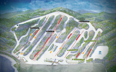
Big Boulder Ski Area Ski Trail Map
Trail map from Big Boulder Ski Area.
264 miles away

Niagara Falls Map
Photographic Map of Niagara Falls - tourist / visitor information.
264 miles away
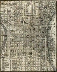
Antique map of Philadelphia from 1842
Antique map of "Philadelphia" from Tanner, H.S. The American Traveller; or Guide Through...
264 miles away
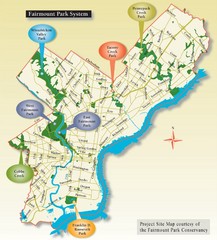
Fairmount Park System Map
265 miles away

University of Michigan Map
265 miles away
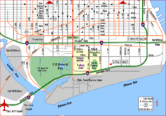
Philadelphia City Map
265 miles away
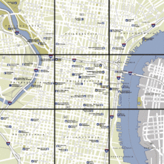
Philadelphia, Pennsylvania City Map
265 miles away

