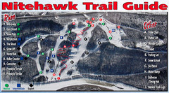
Nitehawk Ski Hill Ski Trail Map
Trail map from Nitehawk Ski Hill, which provides downhill skiing. This ski area has its own website.
729 miles away
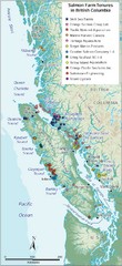
BC Fish Farm Map
Shows salmon farm tenures in southern British Columbia, Canada.
734 miles away
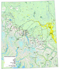
Chilcotin Mountains Trail System Map
Trail system map of the Chilcotin Mountains in BC, Canada "On the trail system map '...
738 miles away
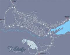
Williams Lake Town Map
741 miles away
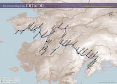
Iditarod Route Map
Official route map of the Iditarod, the famouse 1,150 mile dogsled race from Anchorage to Nome...
749 miles away
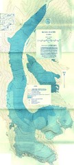
McCall Glacier Topo Map
Topographic map of the McCall Glacier in Alaska.
752 miles away

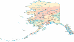
Alaska Map
753 miles away
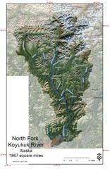
North Fork Koyukuk Watershed - Alaska Map
Map showing the North Fork Koyukuk River watershed, Alaska as explored by Bob Marshall in the 1930...
758 miles away
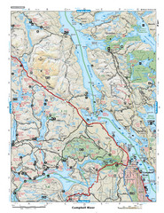
Campbell River Area Map
Vancouver Island, Victoria & Gulf Islands
759 miles away
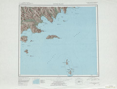
Sutwik Island Shaded Relief Map
761 miles away
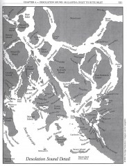
Desolation Sound Detail Map
Shows general geography of Desolation Sound from Malaspina Inlet to Bute Inlet. Shows Cortes Bay...
764 miles away
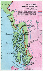
1903 Alaska boundary dispute Map
The Alaska Panhandle was object of a boundary dispute between USA and the Dominion of Canada...
769 miles away
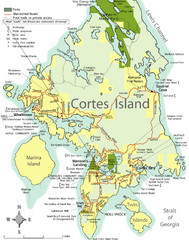
Cortes Island Tourist Map
Places of interest.
770 miles away
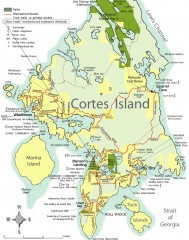
Cortes Island tourist map
Tourist map of Cortes Island in British Columbia, Canada. Shows businesses and roads.
773 miles away
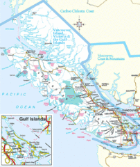
Vancouver Island Park Map
Parks and roads on Vancouver Island.
775 miles away
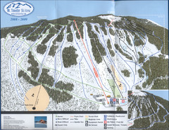
Mt Timothy Ski Trail Map
Trail map from Mt Timothy.
778 miles away
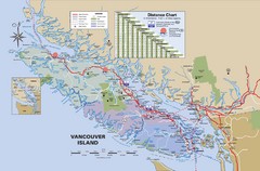
Vancouver Island Map
779 miles away
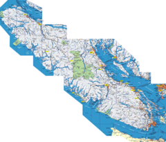
Vancouver Island Map
Detailed map of Vancouver Island, British Columbia. Shows towns, roads, and parks.
779 miles away
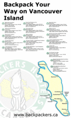
Vancouver Island Backpacking Map
Shows hostels on Vancouver Island, BC
779 miles away
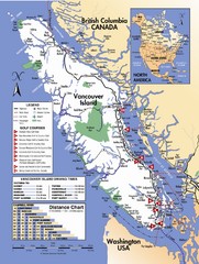
Vancouver Island Road Map
783 miles away
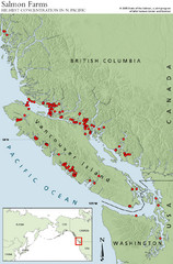
BC Salmon Farms Map
Shows fishfarms in BC around Vancouver Island, highest concentration of fish farms in North Pacific
783 miles away
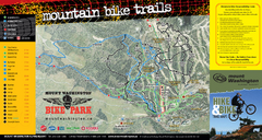
Mt. Washington Resort Summer Mountain Biking Ski...
Trail map from Mt. Washington Resort, which provides downhill and nordic skiing.
784 miles away
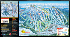
Mt. Washington Resort Ski Trail Map
Trail map from Mt. Washington Resort, which provides downhill and nordic skiing.
784 miles away
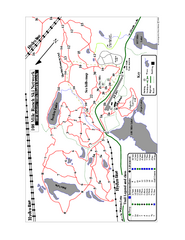
108 Mile House Ski Trail Map
Trail map from 108 Mile House.
785 miles away
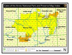
Gates of the Arctic National Park and Preserve...
Official NPS map of Gates of the Arctic National Park and Preserve in Alaska. Shows all areas. The...
786 miles away
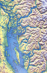
Northern Gulf Map
Map of Northern Gulf Islands
786 miles away
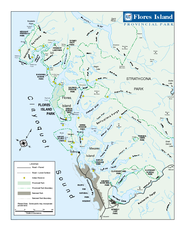
Flores Island Provincial Park Area Map
Park map of area around Flores Island Provincial Park, BC in the Clayoquot Sound. Flores Island is...
788 miles away
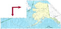
Alaska Map
790 miles away
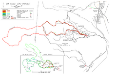
99 Mile Ski Ski Trail Map
Trail map from 99 Mile Ski Trails, which provides nordic skiing. This ski area has its own website.
791 miles away
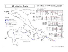
99 Mile Ski Race Routes Ski Trail Map
Trail map from 99 Mile Ski Trails, which provides nordic skiing. This ski area has its own website.
791 miles away
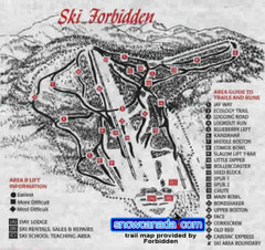
Pre-1999 Forbidden Plateau Map #2
Trail map from Forbidden Plateau.
791 miles away
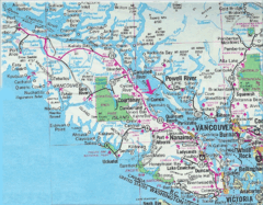
Vancouver Island Road Map
794 miles away
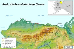
Arctic Alaska and Northwest Canada Map
Guide to northern Alaska and Canada, showing the ANWR, NPRA and pipelines
796 miles away
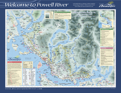
Upper Sunshine Coast Recreation Map
Recreation map of Upper Sunshine Coast in BC. Shows hiking trails, kayaking and canoeing routes...
796 miles away
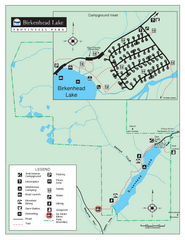
Birkenhead Lake Provincial Park Map
Park map of Birkenhead Lake Provincial Park, BC. Inset of campground
805 miles away
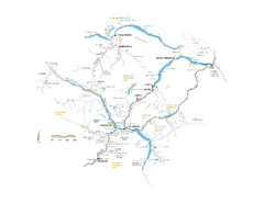
Pemberton Valley Area Parks Map
Area parks map of Pemberton Valley area in BC. Shows peaks and lakes.
806 miles away
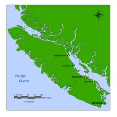
Vancouver Island Overview Map
Town of Parksville highlighted.
808 miles away

