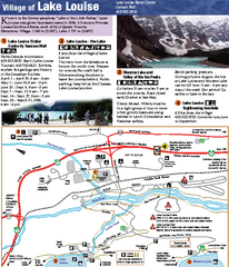
Lake Louise Area Map
Map of Lake Louise with detail of trails and recreation zones
962 miles away
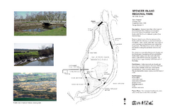
Spencer Island Park map
962 miles away
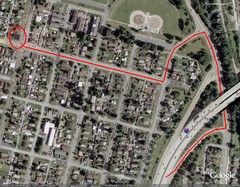
19th and Walnut in Everett, WA Map
963 miles away
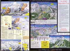
2007–08 2007–08 Ski Big 3 Side 2 (Lake Louise...
Trail map from Lake Louise, which provides downhill skiing. This ski area has its own website.
963 miles away
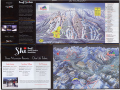
Lake Louise 2007–08 Ski Big 3 Side 1 (3...
Trail map from Lake Louise, which provides downhill skiing. This ski area has its own website.
963 miles away
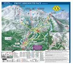
Lake Louise Ski Trail map - Front side/south face...
Official ski trail map of the front side/south face of Lake Louise ski area from the 2005-2006...
963 miles away
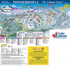
Lake Louise Ski Trail map - Ptarmigan/Paradise...
Official ski trail map of the Ptarmigan/Paradise/Back Bowls of Lake Louise ski area from the 2005...
963 miles away
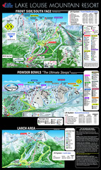
Lake Louise Trail Map
Ski area trail map for Lake Louise Mountain
963 miles away

Centennial Trail Map
Centennial Trail has 23 miles completed (Snohomish to Bryant) with more in progress.
964 miles away
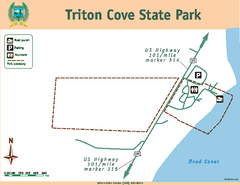
Triton Cove State Park Map
Map of park with detail of trails and recreation zones
965 miles away
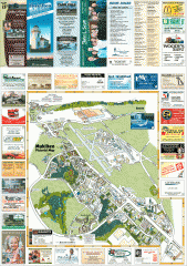
Mukilteo tourist map
Mukilteo, Washington tourist map. Shows all businesses.
965 miles away

Centennial Trail Map
966 miles away
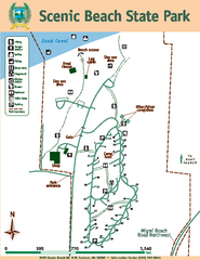
Scenic Beach State Park Map
Map of park with detail of trails and recreation zones
966 miles away
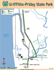
Griffiths-Priday State Park Map
Griffiths-Priday State Park
966 miles away
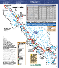
Banff National Park map
Official Parks Canada map of Banff National Park. Birthplace of Canada's national park system...
966 miles away
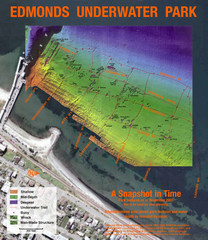
Edmonds Underwater Park Map
Map of underwater park for divers
967 miles away
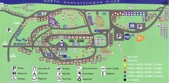
Devon Lions Park Campgrounds Map
968 miles away
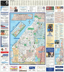
Edmonds tourist map
Tourist map of Edmonds, Washington. Shows all businesses.
968 miles away
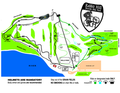
Rabbit Hill Ski and Snowboard Center Mountain...
Trail map from Rabbit Hill Ski and Snowboard Center, which provides downhill skiing. This ski area...
968 miles away
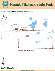
Mount Pilchuck State Park Map
Map of park with detail of trails and recreation zones
968 miles away
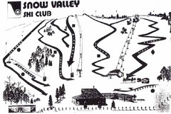
Snow Valley Ski Club ? Ski Trail Map
Trail map from Snow Valley Ski Club, which provides downhill skiing. This ski area has its own...
968 miles away
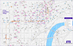
Edmonton Center Transportation Map
Bus and light rail public transportation map of center of Edmonton, Alberta, Canada.
969 miles away
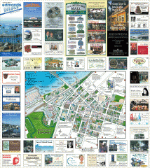
Downtown Edmonds tourist map
Tourist map of Downtown Edmonds, Washington. Shows all businesses.
969 miles away
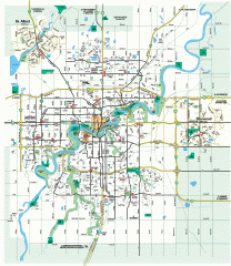
Edmonton Map
City street map of the metro Edmonton area in Alberta.
969 miles away
Edmonton, Alberta Tourist Map
969 miles away
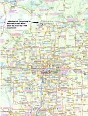
Edmonton, Alberta Tourist Map
969 miles away
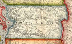
Snohomish County Washington, 1909 Map
969 miles away
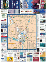
Snohomish tourst map
Tourist map of Snohomish, Washington. Shows all businesses.
969 miles away
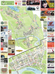
Snohomish tourist map
Snohomish, Washington tourist map. Shows all businesses.
969 miles away
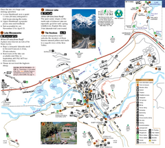
Banff National Park Map
Map of park with detail of trails and recreation zones
969 miles away

Bering Strait Map
970 miles away
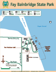
Fay Bainbridge State Park Map
Map of park with detail of trails and recreation zones
971 miles away

3-D Panoramic Map of the Puget Sound
A 3D panoramic map of a view from a private residence over Puget Sound toward the Olympic mountains.
971 miles away
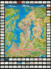
Puget Sound biotech map
Map of Puget Sound area biotechnology companies.
972 miles away
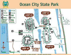
Ocean City State Park Map
Map of park with detail of trails and recreation zones
972 miles away
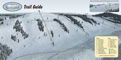
Sunridge Ski Area Ski Trail Map
Trail map from Sunridge Ski Area, which provides downhill skiing. This ski area has its own website.
972 miles away
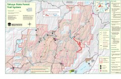
Tahuya State Forest Trail Map
Shows trails of Tahuya State Forest. Show roads, doubletrack, singletrack, and 4WD only.
973 miles away
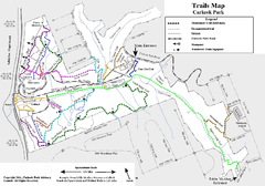
Carkeek Park Trail Map
Trail map of Carkeek Park on the Puget Sound, Seattle, WA. Shows maintained and unmaintained trails.
974 miles away
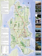
Bainbridge Island Hiking and Biking Map
Shows trails and bike routes on Bainbridge Island, Washington in the Puget Sound. Also shows...
974 miles away
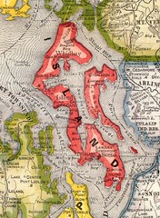
Island County Washington, 1909 Map
974 miles away

