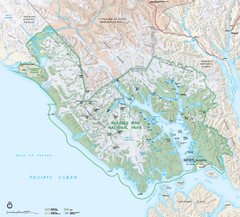
Glacier Bay National Park map
Detailed map of Glacier Bay National Park and Preservation in Alaska
0 miles away
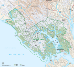
Glacier Bay National Park & Preserve Official...
Official NPS map of Glacier Bay National Park & Preserve in Alaska. Glacier Bay National Park...
7 miles away
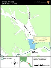
Glacier Bay National Park Whale Waters Map
Map of lower Glacier Bay whale waters include the waters extending from the mouth of Glacier Bay to...
40 miles away
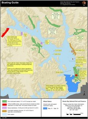
Boating on Glacier Bay National Park Guide Map
47 miles away
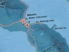
Map of Haines, Alaska
A map of Haines and the surrounding areas.
61 miles away
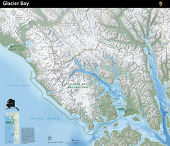
Glacier Bay National Park Map
Map of Glacier Bay National Park includes terrain map of the park and a small map that shows the...
74 miles away
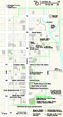
Klondike Gold Rush National Historical Park...
Official NPS map of Klondike Gold Rush National Historical Park in Alaska-Washington. Map shows all...
77 miles away
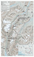
Chilkoot Trail Map
Trail map of the 33 mile Chilkoot Trail in Alaska, US and British Columbia, Canada. Lies in the...
85 miles away

Downtown Juneau Map
Downtown Juneau Map
92 miles away
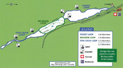
Eaglecrest Ski Area Nordic Ski Trail Map
Trail map from Eaglecrest Ski Area, which provides downhill, night, nordic, and terrain park skiing...
97 miles away
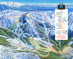
Eaglecrest Ski Area Ski Trail Map
Trail map from Eaglecrest Ski Area, which provides downhill, night, nordic, and terrain park skiing...
97 miles away
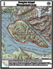
Douglas Island, Alaska Map
97 miles away
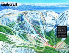
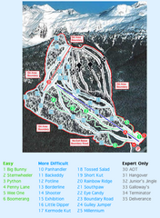
Eaglecrest Ski Trail Map
Official ski trail map of Eaglecrest ski area
97 miles away
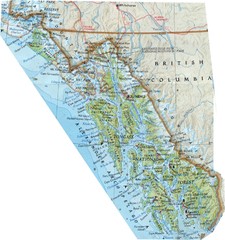
Alaska (South East Map) Panhandle Map
99 miles away
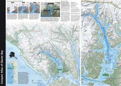
Glacier Bay National Park Map
Map of Glacier Bay National Park includes historical information about the bay as well as a...
124 miles away
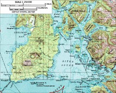
Mount Edgecumbe Topo Map
Topographic map of Mt. Edgecumbe and Sitka, Alaska. Mt. Edgecumbe is a 3000 foot inactive volcano...
131 miles away
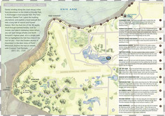
Tony Knowles Coastal Trail, Alaska Map
134 miles away
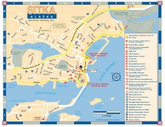
Downtown Sitka Map
Sitka Downtown Walking Tour map.
137 miles away

Sitka Recreation Map
137 miles away

Sitka Tourist Map
137 miles away

Sitka Road System Map
137 miles away
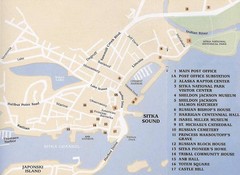
Sitka Downtown Map
137 miles away
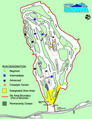
Mount Sima Ski Trail Map
Trail map from Mount Sima, which provides downhill skiing. This ski area has its own website.
140 miles away
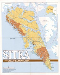
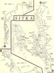
Sitka Area Map
Shows Sitka, Alaska area on Baranof Island.
141 miles away
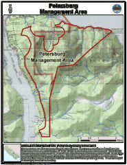
Petersburg, Alaska Tourist Map
204 miles away
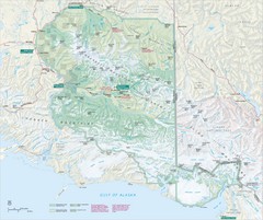
Wrangell-St. Elias National Park Map
Map of Wrangell-St. Elias National Park, Tetlin Wildlife Reserve, and Kluane National Park...
254 miles away
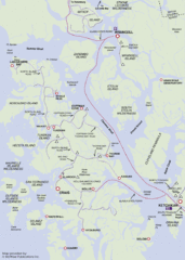
Prince of Wales Island Map
Shows area around Prince of Wales Island, Alaska, from Ketchikan to Wrangell.
259 miles away
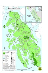
Prince of Wales Island Map
Overview map of Prince of Wales Island, Alaska. Shows wilderness areas.
277 miles away
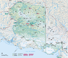
Wrangell - St Elias National Park & Preserve...
Official NPS map of Wrangell - St Elias National Park & Preserve in Alaska. The primary season...
277 miles away
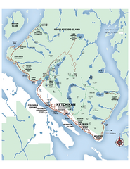
Ketchikan Area Map
Map of Ketchikan, Alaska and Revillagigedo Island. Shows trails, lakes, parks, and main roads.
311 miles away
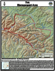
Tok, Alaska Tourist Map
370 miles away

Nisga'a Commercial Recreation Area Map
Guide to commercial recreation in aboriginal lands in British Columbia
378 miles away
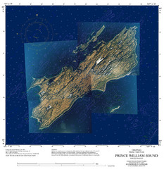
Green Island Map
Map of Green Island in Prince William Sound. Shows soundings in fathoms.
379 miles away
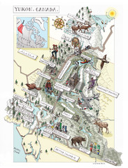
Yukon Territory Canada Map
380 miles away
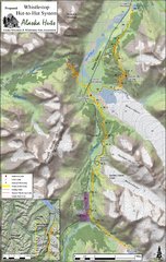
Whistlestop Proposed Hut System Map
Shows proposed huts along the Alaska Railroad’s Backcountry Whistlestop Project in Chugach...
439 miles away
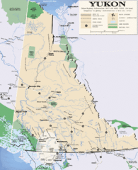
Yukon Map
Overview map of the Yukon Territory, Canada. Shows roads, airports, glaciers, game reserves, and...
440 miles away
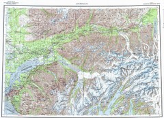
Anchorage Chugach State Park Topo Map
Topographic map of Chugach State Park, Anchorage, and surrounding area.
445 miles away
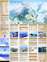
Alyeska Ski Trail Map
Official ski trail map of Alyeska ski area from the 2007-2008 season.
445 miles away

