
Millerton Lake State Recreation Area NE Map
Map of NE region of park with detail of trails and recreation zones
47 miles away
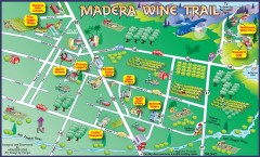
Madera wine map
Tourist map of Madera, California showing Madera Vinters and area wineries.
47 miles away
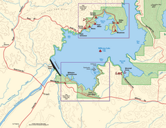
Millerton Lake State Recreation Area SW Map
Map of SW region of park with detail of trails and recreation zones
47 miles away
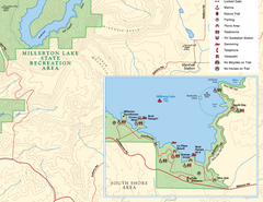
Millerton Lake State Recreation Area SE Map
Map of SE region of park with detail of trails and recreation zones
47 miles away
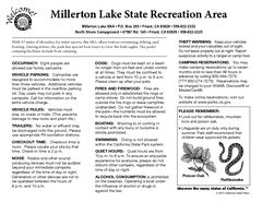
Millerton Lake State Recreation Area Campground...
Map of campground region of park with detail of trails and recreation zones
48 miles away

Millerton Lake State Recreation Area Park Map
Map of park with detail of trails and recreation zones
48 miles away
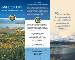
Millerton Lake State Recreation Area Map
Map of park with detail of trails and recreation zones
48 miles away
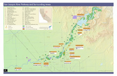
San Joaquin River Parkway Map
Map of the San Joaquin River Parkway. "The San Joaquin River Parkway is a mosaic of parks...
51 miles away
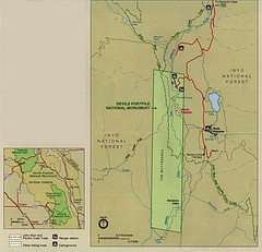
Devil's Postpile National Monument Map
51 miles away
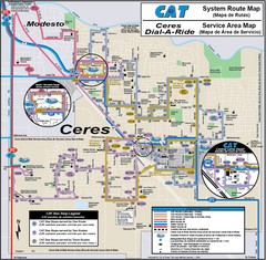
Ceres, CA Transportation Map
52 miles away
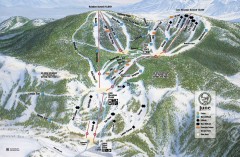
June Mountain Ski Trail Map
Official ski trail map of June Mountain ski area from the 2007-2008 season.
52 miles away
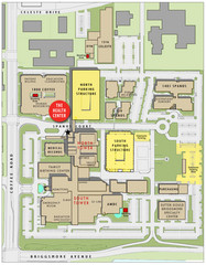
Memorial Medical Center Map
53 miles away
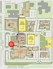
Memorial Medical Center Map
53 miles away
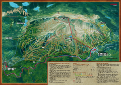
Mammoth Mountain Bike Park Map
Shows all trails at the Mammoth Mountain Bike Park.
54 miles away

Mammoth Mountain Ski Trail Map
Trail map from Mammoth Mountain, which provides downhill, nordic, and terrain park skiing. It has...
54 miles away
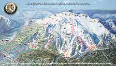
Mammoth Mountain Ski Trail map 2005
Official ski trail map of Mammoth Mountain ski area from the 2005-2006 season.
54 miles away
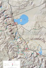
Eastern Sierra Trailhead Map - Lee Vining and...
Shows ranger stations and major trailheads in the eastern Sierra Nevada in the Mono Lake and...
56 miles away

Mammoth Mountain Downhill Skiing Trails Map
Downhill skiing trails on Mammoth Mountain, near Mammoth Lakes, California. Shows trails and their...
56 miles away
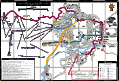
Mammoth Town Map
Map of Mammoth, including shuttle lines
56 miles away
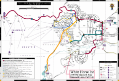
Mammoth Town Map
Town of Mammoth Lakes with shuttle lines included
56 miles away
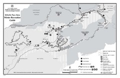
Ebbetts Pass Area Map
Guide to Winter Recreation at Ebbetts Pass
57 miles away
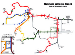
Mammoth Transit Map
Map of Mammoth transit system
57 miles away
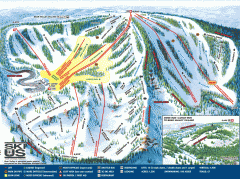
Bear Valley Ski Trail Map
Official ski trail map of Bear Valley ski area from the 2007-2008 season.
58 miles away
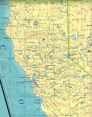
Northern California Map
Map of Northern California including cities, counties, and rivers
58 miles away
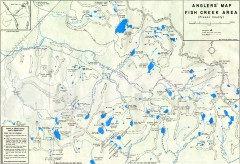
Fish Creek Area Anglers' Map
Hand-drawn fishing map of lakes, peaks, and trails in the Fish Creek Area of the John Muir...
59 miles away
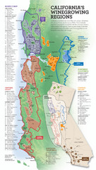
California Wine Map
Wine region map of state of California. Shows 100 American Viticultural Areas (AVAs). There are 4...
59 miles away
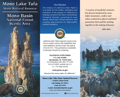
Mono Lake Tufa State Natural Reserve Map
Map of reserve with detail of trails and recreation zones
59 miles away
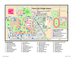
Fresno City College Campus Map
Fresno City College Campus Map. Shows all areas.
62 miles away

Sierra High Route Map
Guide to the Sierra High Route, one of the most challenging treks in the Sierras
63 miles away
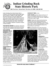
Indian Grinding Rock State Historic Park...
Map of campground region of park with detail of trails and recreation zones
64 miles away
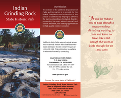
Indian Grinding Rock State Historic Park Map
Map of park with detail of trails and recreation zones
64 miles away
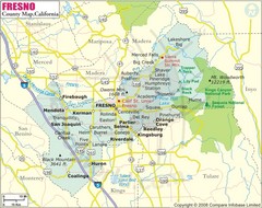
Fresno, California City Map
64 miles away
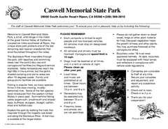
Caswell Memorial State Park Campground Map
Map of park with detail of trails and recreation zones
64 miles away
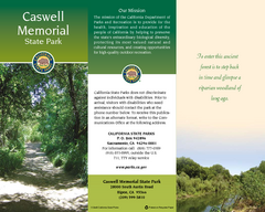
Caswell Memorial State Park Map
Map of park with detail of trails and recreation zones
64 miles away
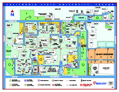
California State University - Fresno Map
California State University - Fresno Campus Map. All areas shown.
64 miles away

Bodie State Park SW Map
Map of park with detail of trails and recreation zones
67 miles away

Bodie State Park SE Map
Map of park with detail of trails and recreation zones
67 miles away

Geographic Subdivisions in California Map
67 miles away


