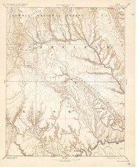
Topo Map of Escalante Quadrant, UT circa 1886
One of four USGS maps detailing the area around Capitol Reef National Park and Glen Canyon circa...
325 miles away
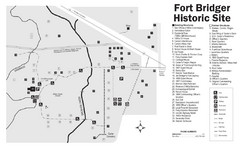
Fort Bridger State Historic Site Map
Established by Jim Bridger and Louis Vasquez in 1843 as an emigrant supply stop along the Oregon...
326 miles away
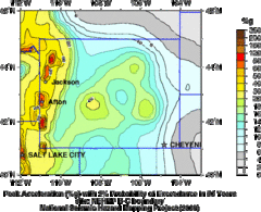
Seismic Hazard Map of Wyoming
Seismic Hazard map of probable earthquake activity for Wyoming.
326 miles away
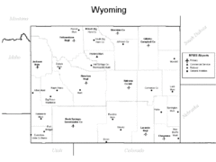
Wyoming Airports Map
326 miles away
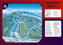
Antelope Butte Ski Area Ski Trail Map
Trail map from Antelope Butte Ski Area.
326 miles away
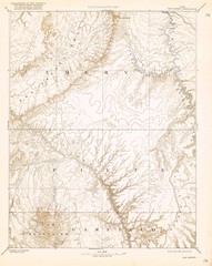
Topo Map of San Rafael Quadrant circa 1885
This is one of four USGS maps from the 1880's and 90's depicting the area around the...
326 miles away
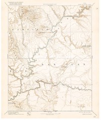
Henry Mtns Topo Map, circa 1892
One of a set of four maps circa 1890s by USGS depicting the area around the Henry Mtns and Capitol...
326 miles away
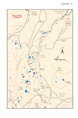
Kings Peak Trail Map
Trail map of route to Kings Peak, highest mountain in Utah at 13,528 ft. Route is around 30 miles...
328 miles away
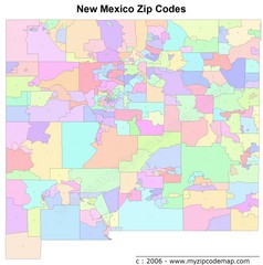
New Mexico Zip Codes Map
329 miles away
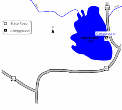
Huntington Lake State Park Map
Take a hike around this beautiful lake.
330 miles away
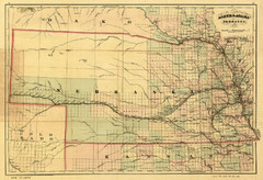
1874 Nebraska Railroad Map
Road Map and Guide to Railroads in Nebraska, used for settlers
332 miles away
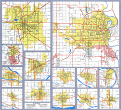
Nebraska City Road Maps Map
Shows roads/highways in 13 Nebraska cities.
334 miles away
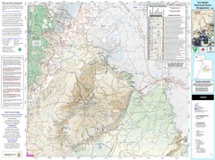
San Rafael, Utah Trail Map
Trails and main roads near Manti-LaSal National Forest and Castle Dale in Emery County, Utah
334 miles away
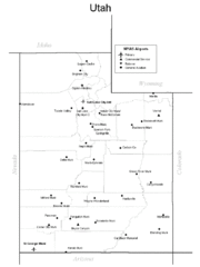
Utah Airports Map
337 miles away
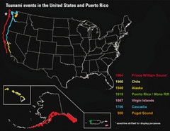
US Tsunami Events Map
Shows tsunami events in the US and Puerto Rico from 900 to 1964. Map not to scale. This map shows...
338 miles away

Wind Cave Tour Routes Detail Map
Shows the following tour routes: Natural Entrance Tour, Garden Eden Tour, Fairgrounds Tour, and...
342 miles away
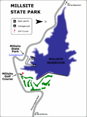
Millsite State Park Map
Camp in the quiet campground, and boat and fish on the blue waters of Millsite Reservoir. Play 18...
342 miles away
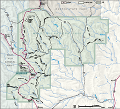
Wind Cave National Park Official Park Map
Official NPS map of Wind Cave National Park in South Dakota. Wind Cave is one of the world's...
343 miles away
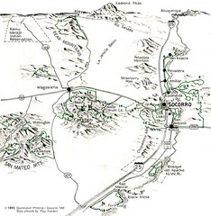
Socorro, New Mexico Guide Map
Trails and mountains map in and around Socorro, New Mexico
343 miles away
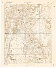
Topo Map of Capitol Reef Region (Fish Lake Quad...
This is one of four USGS maps done by the Powell survey and depicting the area around Capitol Reef...
343 miles away
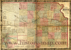
Kansas Railroad Map 1867
Here for your perusal is a sectional map of the state of Kansas showing the route of the Union...
344 miles away
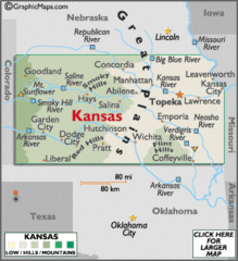
Kansas Elevations Map
344 miles away
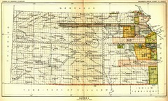
Kansas Native American Territories 1866-1867 Map
489., 492 Cherokee, 19 Jul 1866 (on Indian Territory Map 22, Kansas, Map 27) 495. Sauk and Fox of...
344 miles away
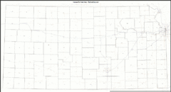
Kansas Zip Code Map
Check out this Zip code map and every other state and county zip code map zipcodeguy.com.
344 miles away
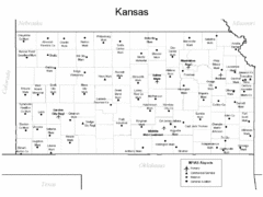
Kansas Airports Map
344 miles away
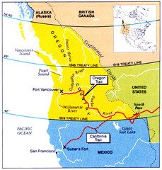
Oregon Treaty Historical map
344 miles away
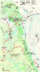
Capitol Reef National Park Official Map
Official NPS map of Capitol Reef National Park in Utah. Map shows all areas. The park and...
345 miles away
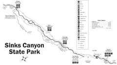
Sinks Canyon State Park Map
Sinks Canyon State Park offers hiking trails, abundant wildlife viewing, bird-watching, fishing...
346 miles away
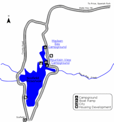
Scofield State Park Map
Camp, boat, and fish at this summer and winter recreation destination situated high in the Manti...
346 miles away
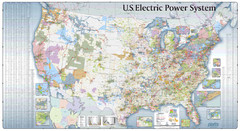
US Electric Power System Map
Map showing the US electric power system. from site: "shows power generation and transmission...
346 miles away
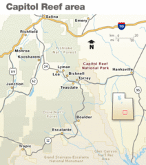
Capitol Reef National Park Map
Clear map marking major highways and cities.
348 miles away

Mirror Lake Highway Map
348 miles away

Black Hills National Forest Map
Areas in Black Hills National Forest
349 miles away
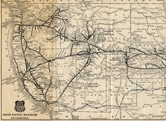
1925 Union Pacific Railroad Map Part 1
Guide to the Union Pacific railroad lines across the western half of the United States
350 miles away
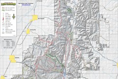
Utah Arapeen OHV Trail System- North Map
The Utah Arapeen OHV Trail System located in near the Towns of Fairview, Ephraim, and Mant, Utah.
351 miles away

Black Hills National Forest Park Map
353 miles away
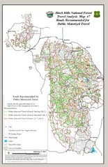
Black Hills National Forest Tourist Map
Black Hills National Forest in Custer, South Dakota
354 miles away

Kansas Map Circa 1910
354 miles away

