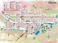
Telluride Town Map
169 miles away
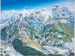
Telluride, Colorado Trail Map
170 miles away
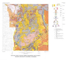
Mount Zirkel Wilderness and Vicinity Geologic Map
Geologic Map of Mount Zirkel Wilderness
170 miles away
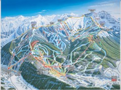
Telluride ski trail map
Official ski trail map of Telluride ski area from the 2006-2007 season.
171 miles away
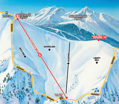
Telluride Revelation Bowl Ski Trail Map
Trail map from Telluride, which provides downhill, nordic, and terrain park skiing. It has 18 lifts...
171 miles away
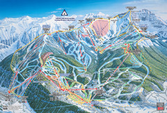
Telluride Ski Trail Map
Trail map from Telluride, which provides downhill, nordic, and terrain park skiing. It has 18 lifts...
171 miles away
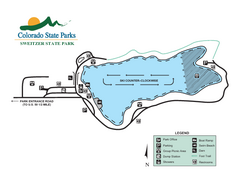
Sweitzer Lake State Park Map
Map of park with detail of recreation zones
172 miles away
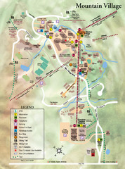
Mountain Village Tourist Map
Tourist map of Mountain Village, Colorado at the Telluride Ski Area.
172 miles away
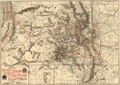
Denver and Rio Grande and Rio Grande Western...
Shows the Denver & Rio Grande and Rio Grande Western railroad system map circa 1904
173 miles away
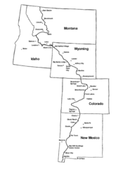
Continental Divide Trail Graphic Map
Guide to the Continental Divide Trail, with major cities and stopping points
178 miles away
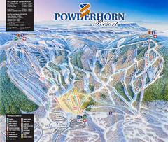
Powderhorn Resort Ski Trail Map
Trail map from Powderhorn Resort, which provides downhill and terrain park skiing. It has 4 lifts...
179 miles away
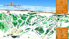
Powderhorn Ski Trail Map
Official ski trail map of Powderhorn Resort ski area from the 2007-2008 season.
179 miles away
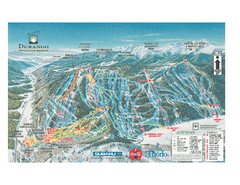
Durango Mountain Ski Trail Map
Official ski trail map of Durango Mountain Resort (formerly Purgatory) from 2003
179 miles away
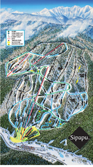
Sipapu Ski Area Ski Trail Map
Trail map from Sipapu Ski Area.
181 miles away
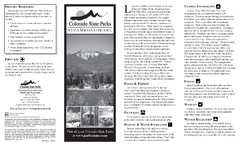
Steamboat Lake State Park Map
Map of park with detail of recreation zones
181 miles away
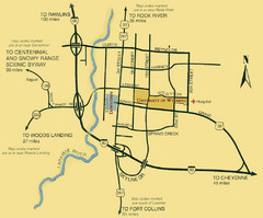
Laramie City Map
City map of Laramie, Wyoming with University of Wyoming highlighted.
182 miles away
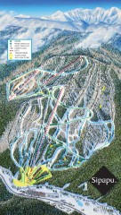
Sipapu Ski Trail Map
Official ski trail map of Sipapu ski area from the 2007-2008 season.
183 miles away
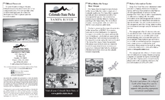
Yampa River State Park Map
Map of park with detail of recreation zones
185 miles away
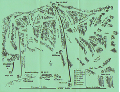
Hesperus Ski Area Ski Trail Map
Trail map from Hesperus Ski Area.
188 miles away
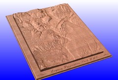
Durango, Colorado carved by CarvedMaps.com Map
Wooden map of Durango carved by Tom Justin at CarvedMaps.com. CarvedMaps.com does a beautiful...
193 miles away
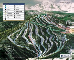
Snowy Range Ski Trail Map
Trail map from Snowy Range.
193 miles away
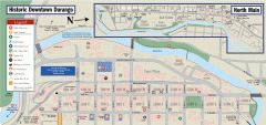
Historic Downtown Durango map
Walking map of historic downtown Durango, Colorado. Sponsored by the Durango Business Improvement...
193 miles away
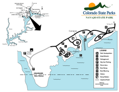
Navajo State Park Map
Map of park with detail of recreation zones
194 miles away
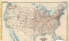
Highway Plan 1926 Map
194 miles away
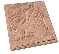
Uncompahgre Plateau by carvedmaps.com Map
Uncompahgre Plateau
194 miles away
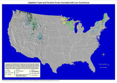
Vegetation types and elevation zones associated...
Historic Lynx Distribution Map for Lynx population from 1842 - 1998 shown on a United States map...
195 miles away
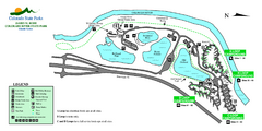
Island Acres State Park Map
Map of island acres section of the James M Robb Colorado River State Park
198 miles away
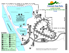
Fruita Area State Park Map
Map of fruita section of the James M Robb Colorado River State Park
200 miles away
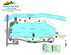
Corn Lake State Park Map
Map of corn lake section of the James M Robb Colorado River State Park
200 miles away
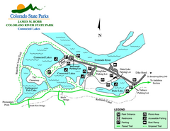
Connected Lakes State Park Map
Map of connected lakes section of the James M Robb Colorado River State Park
202 miles away
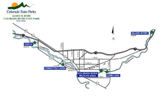
James M Robb Colorado River State Park Map
Overview map of park along lake
204 miles away
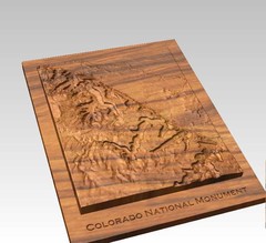
Colorado National Monument carved by CarvedMaps...
Colorado National Monument near Grand Junction, CO. was carved by CarvedMaps.com They can carve...
206 miles away
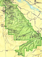
Colorado National Monument Map
207 miles away
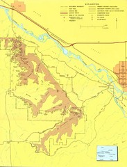
Colorado National Monument Map
Map of Colorado National Monument and surrounding areas.
207 miles away
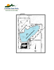
Mancos State Park Map
Map of park with detail of recreation zones
207 miles away
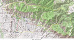
Fruita 18 Road Trail Map
Mountain biking trail map of the 18 Road area in Fruita, CO including Chutes & Ladders, Zipity...
210 miles away
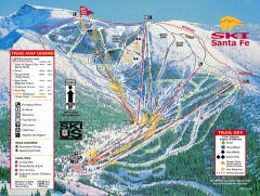
Ski Santa Fe Ski Trail Map
Official ski trail map of Ski Santa Fe ski area from the 2006-2007 season.
210 miles away
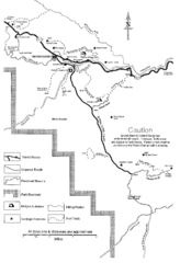
Capitol Reef Trail Map
Hiking trails near Fruita, Colorado
210 miles away
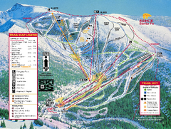
Ski Santa Fe Resort Ski Trail Map
Trail map from Ski Santa Fe Resort.
210 miles away
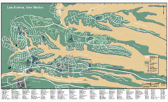
Los Alamos, New Mexico City Map
212 miles away

