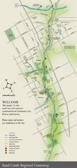
Sand Creek Regional Greenway Map
While the Sand Creek Regional Greenway trail is now usable, the Greenway will be under construction...
69 miles away
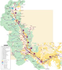
Central Colorado Fishing Guide Map
70 miles away
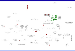
Denver Botanic Garden (York St) Map
70 miles away
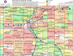
Denver Neighborhoods Map
70 miles away
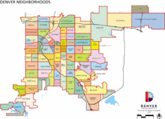
Denver Neighborhoods Map
70 miles away
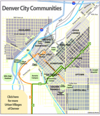
Central Denver Neighborhoods Map
70 miles away
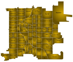
Denver Neighborhoods Map
70 miles away
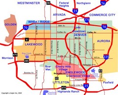
Denver Neighborhoods Map
70 miles away
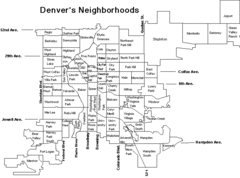
Denver Neighborhoods Map
70 miles away
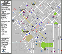
Downtown Denver, Colorado Tourist Map
70 miles away
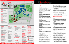
St. John's University Map
St. John's University Campus Map. All buildings shown.
70 miles away
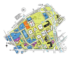
The University of Colorado at Denver and Health...
The University of Colorado at Denver and Health Sciences Center Campus Map. All buildings shown.
70 miles away
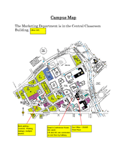
Metropolitan State College of Denver Map
Campus Map of Metropolitan State College of Denver. All buildings shown.
70 miles away
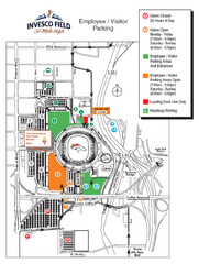
Denver, Colorado Invesco Field Parking Map
70 miles away
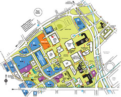
Auraria Campus Map
Map of Auraria Higher Education Center
70 miles away
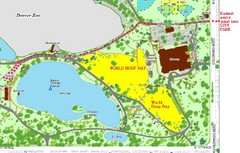
Denver City Park Map
70 miles away
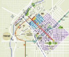
Downtown Denver map
Map of downtown Denver, CO. Shows streets, parks, light rail routes, the Colorado Convention...
70 miles away
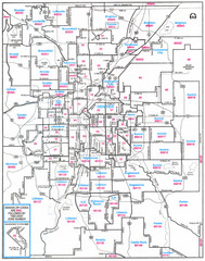
Denver, Colorado Zip Codes Map
71 miles away
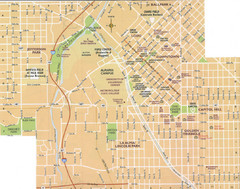
Denver, Colorado City Map
71 miles away
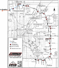
Denver Toll Road Map
71 miles away
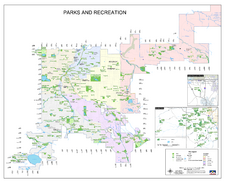
Denver City Parks map
Shows all city parks in the Denver metro area.
71 miles away
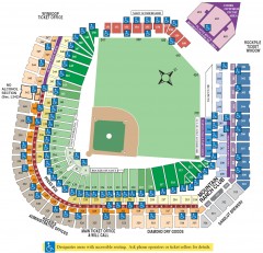
Coors Field Seating Chart Map
Seating chart of Coors Field, home of the MLB Colorado Rockies. This map shows all seating...
71 miles away
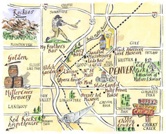
Denver Tourist Illustrated map
71 miles away
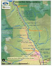
Arkansas River Numbers and Narrows Rafting Map
Rafting map of the Numbers and Narrows rapids sections of the Arkansas River near Buena Vista...
72 miles away

Mt. Evans Road Wildflower Viewing Map
Shows wildflower viewing area at Mt. Goliath and Mt. Evans along Mt. Evans Road in Colorado. "...
73 miles away
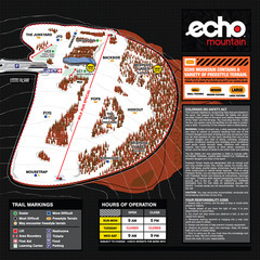
Echo Mountain Park Ski Trail Map
Trail map from Echo Mountain Park, which provides downhill, night, and terrain park skiing. It has...
75 miles away
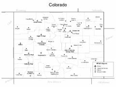
Colorado Airport Map
75 miles away

Mt. Evans Contour Map
Guide to the area around Mt. Evans, near Denver, CO
76 miles away
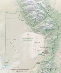
Great Sand Dunes National Park and Preserve map
Official NPS map of Great Sand Dunes National Park and Preserve. Park includes the tallest dune in...
77 miles away
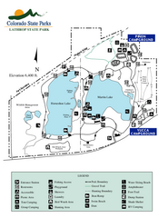
Lathrop State Park Map
Map of park with detail of recreation zones
78 miles away

Montezuma Bowl Trail Map
79 miles away
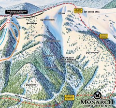
Monarch Ski & Snowboard Area Mirkwood at Monarch...
Trail map from Monarch Ski & Snowboard Area, which provides downhill and terrain park skiing. It...
82 miles away
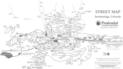
Breckenridge Town Map
82 miles away
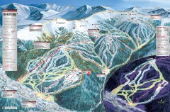
Keystone Ski Trail map 2006-07
Official ski trail map of Keystone ski area from the 2006-2007 season.
82 miles away
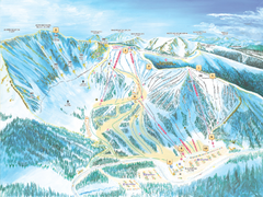
Arapahoe Basin Ski Trail Map 2007
Ski trail map of Arapahoe Basin ski area
82 miles away
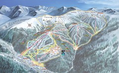
Keystone Resort Ski Trail Map
Trail map from Keystone Resort, which provides downhill, night, and terrain park skiing. It has 20...
82 miles away
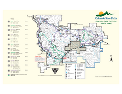
Golden Gate Canyon State Park Map
Map of park with detail of trails
82 miles away
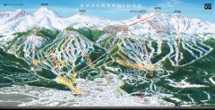
Breckenridge Ski Area Trail Map 2005-06
Official ski trail map of Breckenridge, 2005-06 season
82 miles away
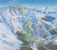
Arapahoe Basin Ski Trail map
Official ski trail map of Arapahoe Basin ski area from the 2006-2007 season. Look for 400 acre...
83 miles away
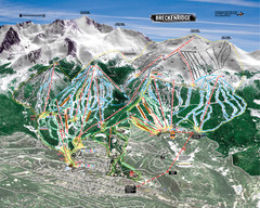
Breckenridge Ski Resort Ski Trail Map
Trail map from Breckenridge Ski Resort, which provides downhill, nordic, and terrain park skiing...
83 miles away

