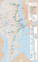
Hudson-Bergen Lightrail Map
Alternative transportation within the city.
9 miles away
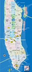
Manhattan Tourist Map
Tourist map of Manhattan, showing Museums, buildings of interest, and various neighborhoods.
9 miles away
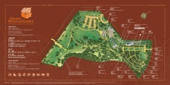
Queens Botanical Garden Map
Shows facilities and names of different gardens. In many languages.
9 miles away
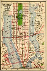
Antique map of Manhattan from 1916
"New York City Battery to 110th Street" from Rider's New York City, Henry Holt and...
9 miles away
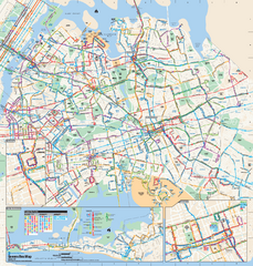
Queens, New York Bus Map
Official MTA Bus Map of Queens, NY. Shows all routes.
9 miles away
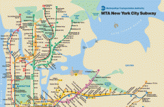
New York City Subway Map
Official MTA map of the NYC subway system... note not drawn to scale.
9 miles away
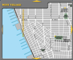
West Village New York City Tourist Map
9 miles away
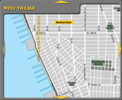
West Village New York City Hotel Map
9 miles away
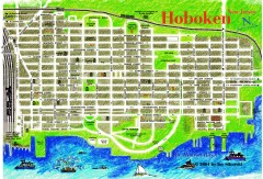
Hoboken Walking Tour map
Walking tour map of Hoboken, NJ. Shows points of interest.
9 miles away
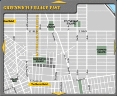
Greenhich Village New York City Hotel Map
9 miles away
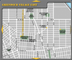
East Greenwich Village New York City Tourist Map
9 miles away
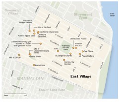
East Village walking tour map
Walking tour of the East Village in New York City, showing points of interest.
9 miles away
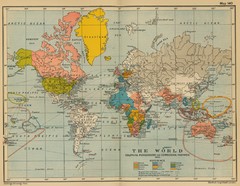
Colonial Posessions and Commercial Highways 1910...
Historical world map (1910) of various colonization and highway expansion
10 miles away
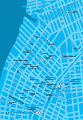
Williamsburg Art Gallery map
Map of Williamsburg and Greenpoint art galleries in Brooklyn, New York. Shows subway stops as well.
10 miles away
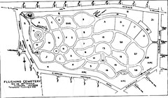
Flushing Cemetery Map
Map of the sections of Flushing Cemetery in Queens
10 miles away
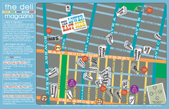
Deli Magazine's Lower East Side Music venues...
10 miles away
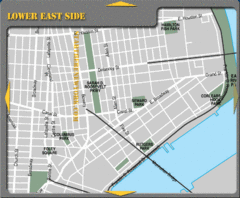
Lower Eastside New York City Hotel Map
10 miles away
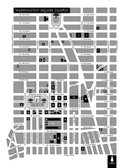
New York University Map
Campus map of New York University. All buildings included.
10 miles away
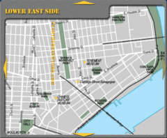
Lower Eastside New York City Tourist Map
10 miles away
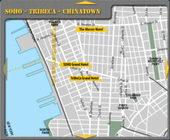
Chinatown New York City Hotel Map
10 miles away
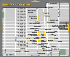
Broadway Theatre New York City Map
11 miles away

Manhattan Bus Map
11 miles away
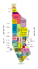
New York Neighborhoods Map
11 miles away
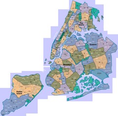
New York: A City of Neighborhoods Map
This is a map of NYC's Community Districts and neighborhoods. This map is pasted together from...
11 miles away

Sanitary & Topographical Map of the City and...
The 1865 Viele Map of Manhattan is still used today to locate springs and streams that have long...
11 miles away
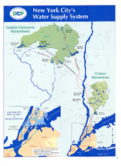
New York City's Water Supply System Map
Map of the reservoirs, aqueducts, and tunnels that supply water to NYC.
11 miles away
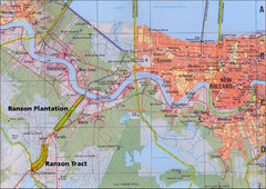
New Orleans Tourist Map
11 miles away
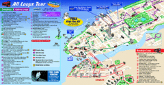
New York City Bus Tour Map
11 miles away
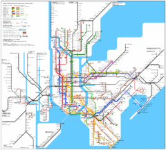
New York City Subway Map
11 miles away
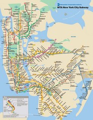
New York City Public Transportation Map
11 miles away
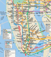
New York City Subway Map
11 miles away

Battery Park City Map
11 miles away
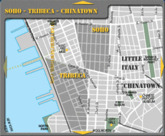
Chinatown New York City Tourist Map
11 miles away

Downtown Manhattan Tourist Map
Detailed tourist map of Downtown Manhattan showing points of interest and modes of transportation
11 miles away
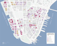
Lower Manhattan Map
11 miles away
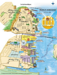
Jersey City, New Jersey City Map
Sketch of Jersey City and Hoboken, New Jersey
11 miles away
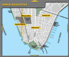
Lower Manhattan New York City Hotel Map
11 miles away
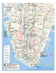
Lower Manhattan Public Transportation Map
Official MTA map of subway, bus, and ferry routes in Lower Manhattan.
11 miles away
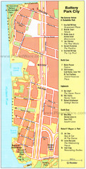
Battery Park City Map
City map of Battery Park City, an area of Manhattan, with art highlighted
11 miles away
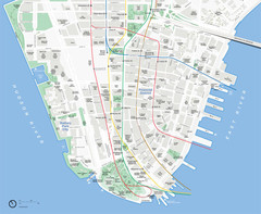
Lower Manhattan Map
11 miles away

