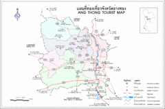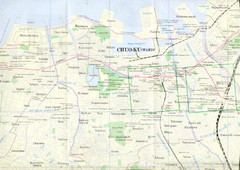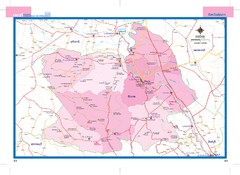
Chainat, Thailand Map
1460 miles away
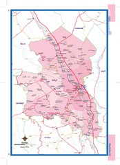
Singburi, Thailand Map
1467 miles away
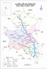
Sing Buri Regional Tourist Map
Sing Buri area map of tourist attractions and wats (temples)
1467 miles away
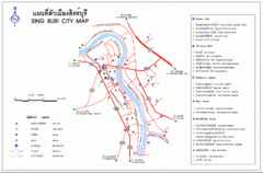
Sing Buri Tourist Map
1468 miles away
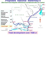
India Proposed National Waterway -5 Map
India inland waterways map showing the integration of the East Coast Canal with Brahmani and...
1476 miles away
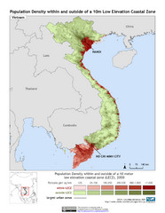
Vietnam 10m LECZ and Population Density Map
Low Elevation Coastal Zone and population desnsity within and outside of a 10 meter low evelevation...
1476 miles away
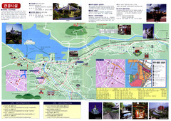
Nagasaki Tourist Map
Tourist map of Nagasaki, Japan. Shows points of interest. In Korean.
1478 miles away
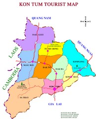
Kon Tum Road Map
Road map of Kon Tum, Vietnam region. (map says tourist map but more a road map)
1481 miles away
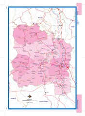
Angthong, Thailand Map
1487 miles away
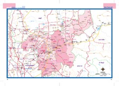
Saraburi, Thailand Map
1490 miles away

Krasnoyarsk City Map
City map of Krasnoyarsk, Russia. Some bus stops and hotels highlighted.
1491 miles away
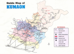
Kumaon Map
1492 miles away
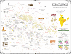
Uttarakhand Historical Map
Places of interest and historical annotations in state of Uttarakhand, India
1492 miles away
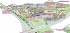
Kyushu Sangyo University Map
This is a clear map of Kyushu Sangyo University, a private school. It currently has twenty...
1494 miles away
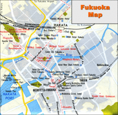
Fukuoka Hotel Map
Hotels and roads are marked on this small map.
1494 miles away

Fukuoka Subway Map
Map of subway transit throughout city
1494 miles away
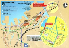
Kyushu University International House Information...
1494 miles away
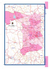
Suphanburi, Thailand Map
1497 miles away
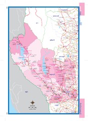
Kanchanaburi, Thailand Map
1501 miles away
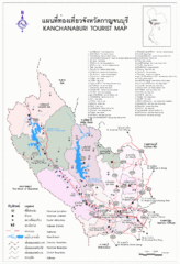
Kanchanaburi Tourist Map
Places of interest.
1501 miles away
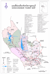
Kanchanaburi Tourist Map
Tourist Map of Kanchanaburi, Thailand showing tourist attractions, roads, cities and railways.
1501 miles away

Otdar Mean Chey Province Cambodia Road Map
1501 miles away

Issyk Kul Map
1503 miles away
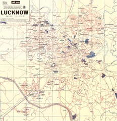
Lucknow City Map
City map of Lucknow, India.
1504 miles away
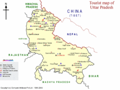
Uttar Pradesh Tourist Map
1504 miles away
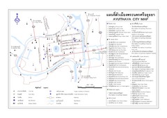
Ayutthaya (Ayudhya) City Tourist Map
Map of ancient Thai capital city and UNESCO World Heritage site
1505 miles away
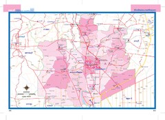
Phranakhonsiayutthaya, Thailand Map
1506 miles away

Phra Nakhon Si Ayutthaya Tourist Map
Places of interest.
1507 miles away
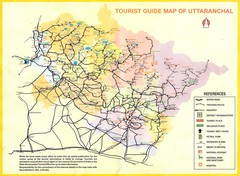
Uttarakhand Tourist Map
1510 miles away
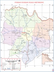
Preah Vihear Province Cambodia Road Map
Note: The road to Preah Vihear Temple was improved in 2009 for military access. As of late 2010...
1511 miles away

Thailand Guide Map
1511 miles away
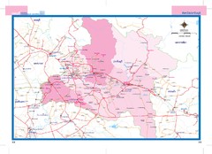
Prachinburi, Thailand Map
1513 miles away
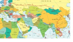
Partial Europe, Middle East, Asia, Partial Russia...
Map that shows the Eastern half of Europe, the Southern half of Russia, the Northern half of Africa...
1513 miles away

Nakhon Nayok City Map
Destinations and locations in the Nakhon Nayok province of Thailand
1516 miles away
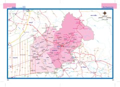
Nakhonnayok, Thailand Map
1517 miles away
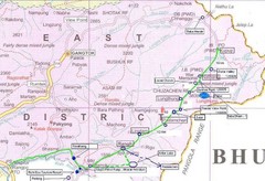
India Silk Road Map
1522 miles away
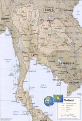
Thailand map
Overview of Thailand and surrounding countries
1522 miles away
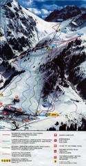
Shymbulak Ski Trail Map
Trail map from Shymbulak, which provides downhill skiing.
1524 miles away

