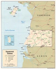
Equatorial Guinea Map
Guide to the African country of Equitorial Guinea
2431 miles away
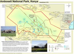
Amboseli National Park Map
Park map of Amboseli National Park, Kenya, home of elephants.
2435 miles away
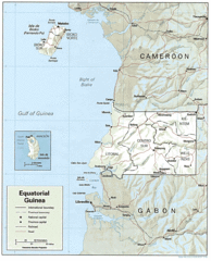
Equatorial Guinea Guide Map
2435 miles away
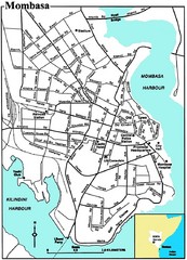
Mombasa City Map
Simple and clear map of this Kenyan city.
2436 miles away
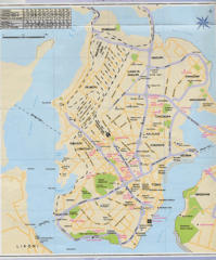
Mombasa City Map
2437 miles away
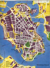
Mombasa City Map
City street map of Mombasa Island, Kenya
2437 miles away
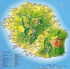
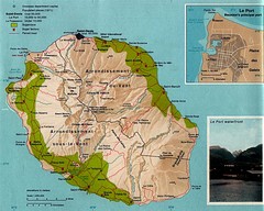
Reunion Island Map
Guide to Reunion, an overseas department of France, off the coast of Madagascar
2439 miles away
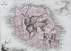
Reunion 1886 Map
2441 miles away
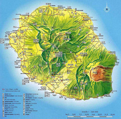
Reunion Tourist Map
Tourist map of the French island of Reunion off the east coast of Madagascar in the Indian Ocean...
2442 miles away
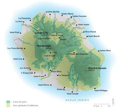
Reunion National Parks Map
2443 miles away
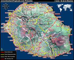
Reunion Tourist Map
2445 miles away
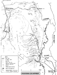
Nguruman Mountain Map
2450 miles away
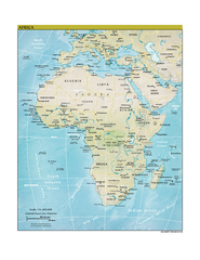
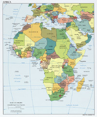
Africa CIA world factbook Map
2473 miles away
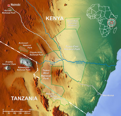
Tsavo National Park Map
2480 miles away
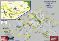
Kampala Tourist Map
Tourist map of Kampala
2484 miles away
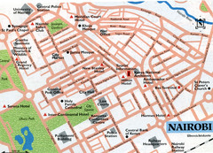
Nairobi City Map
Close up map marking roads and parks in downtown Nairobi.
2504 miles away
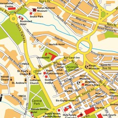
Niarobi City Map
2504 miles away
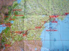
Uganda Tourist Map
2519 miles away
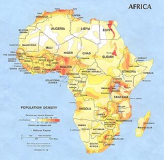
Africa Population Map
Map of population densities throughout Africa
2528 miles away
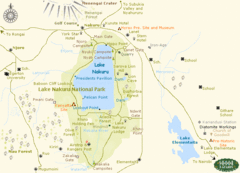
Lake Nukuru Map
Lake Nukuru and its surrounding areas provide for an amazing safari experience.
2535 miles away
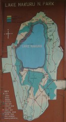
Lake Nakuru National Park Map
2539 miles away
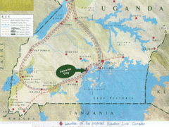
Uganda Tourist Map
Map of Uganda shows Trails and the proposed location of Equator City.
2544 miles away
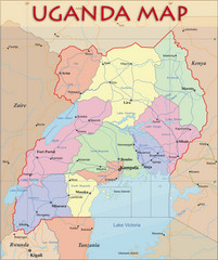
Uganda Political Map
Political map of Uganda. Shows regions, cities, and water features.
2544 miles away
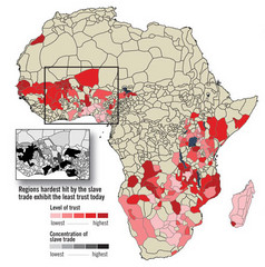
African distrust and the slave trade Map
2559 miles away
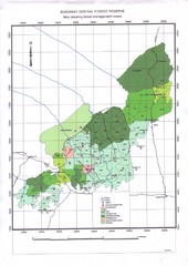
Budongo Forest Map
Budongo Forest Map Shows color-coded forest management zones.
2566 miles away
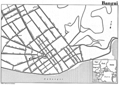
Bangui Road Map
Road map of Bangui city in the Central African Republic.
2572 miles away
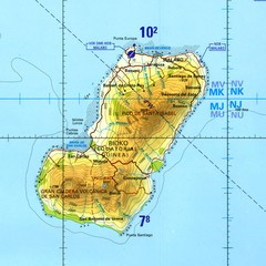
Bioko-Fernando Po island Map
2581 miles away
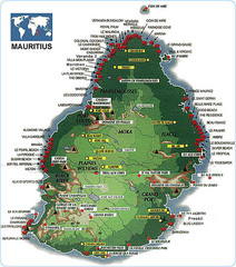
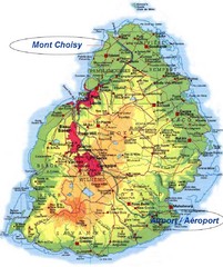
Mauritius tourist Map
2585 miles away
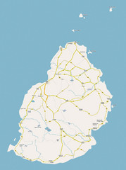
Mauritius Island Map
2585 miles away

Mauritius Island Map
2585 miles away

Mauritius topography Map
2586 miles away

Mauritius Map
2586 miles away
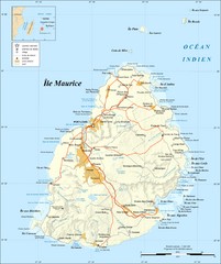
Mauritius Island Map
Map of French island of Mauritius
2587 miles away
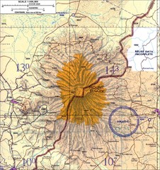
Mount Elgon topo. Map
2587 miles away
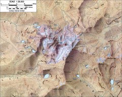
Mt. Kenya Topo Map
Topographical map of Mt. Kenya, the second highest mountain in Africa at 17058 ft
2589 miles away

Mauritius Tourist Map
Landmarks and areas in Mauritius
2591 miles away

