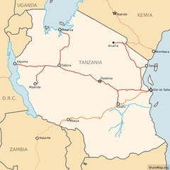
Railways in Tanzania Map
Railway network of Tanzania Map licensed on Creative Commons Share Alike License 3.0 You can...
2262 miles away
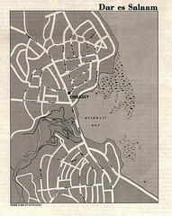
Dar es Salaam, Tanzania Tourist Map
2262 miles away
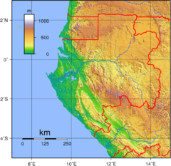
Gabon Topography Map
2263 miles away
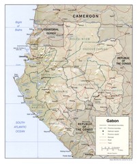
Gabon physical Map
2264 miles away
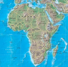
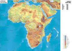
Physical Africa Map
2265 miles away
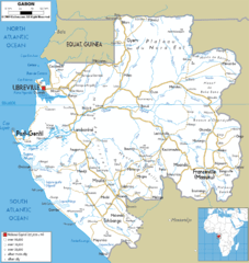
Gabon road Map
2267 miles away
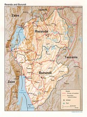
Rwanda Topographic Map
Guide to the African country of Rwanda
2268 miles away
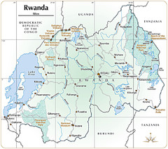
Rwanda Parks and Rainforest Map
2272 miles away
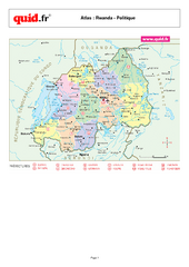
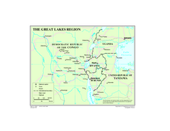
Rwanda Regional Map
Map of Rwanda with detail of regional divides
2272 miles away
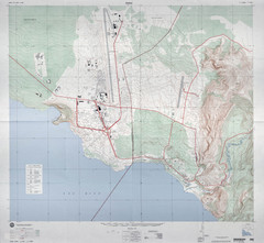
Goma Map
Goma, Democratic Republic of the Congo • original scale 1:7,500, Edition 3-DMA, Series Z091.
2275 miles away
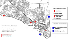
City of Goma Evacuation Plan, late 2007 Map
Map of Goma indicating evacuation points for Congolese government push against rebel groups (mostly...
2276 miles away
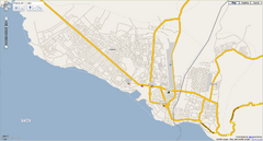
Goma, Congo street map
Street map of eastern Congo–Kinshasha city of Gome, near the Rwanda border. Produced by...
2276 miles away
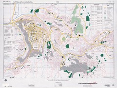
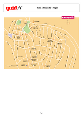
Kigali Road Map
2277 miles away
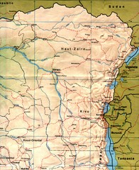
Zaire (Eastern Region) Map
Eastern Zaire (now Democratic Republic of the Congo)
2278 miles away
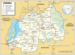
Rwanda Road Map
2283 miles away
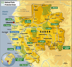
Gabon National Park Map
Guide to the national parks of Gabon in Africa
2284 miles away
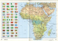
Africa Flag Map
Physical map of Africa with flag legend for all countries. Scanned.
2285 miles away
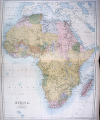
Africa Map 1885
Shows Africa with pre-colonial boundaries demarcated at the Berlin Conference of 1885.
2285 miles away
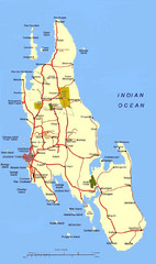
Zanzibar Tourist Map
2304 miles away
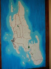
Zanzibar Island Map
Island map of Zanzibar, Tanzania From photo Oct 3 2007
2305 miles away
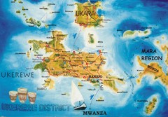
Ukerewe Island Lake Victoria Map
2347 miles away
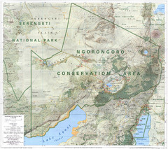
Ngorongoro Conservation Area Map
2350 miles away
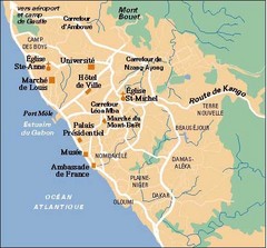
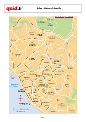
Libreville City Map
Simple map marking towns and roads.
2361 miles away
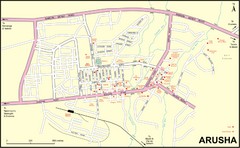
Arusha Town Map
Town map with lodging locations identified
2372 miles away
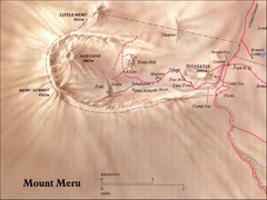
Mount Meru Physical Map
2381 miles away
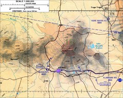
Mount Meru Topographic Map
Topographic map of Mount Meru in Nothern Tanzania
2381 miles away
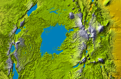
Lake Victoria topography Map
2384 miles away
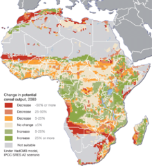
Projected climate change impacts for agriculture...
Africa is one of the regions that will be hit the hardest by climate change, and it will likely...
2393 miles away
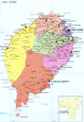
Sao Tome Political Map
Political map of island of São Tomé, lying on the equator off the west coast of...
2398 miles away
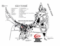
Sao Tome City Map
City map of Sao Tome with tourist information
2405 miles away
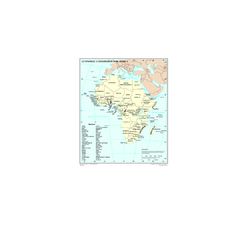
Economic Commission for Africa Map
Map of Economic Commission for Africa with detail of member-countries
2405 miles away
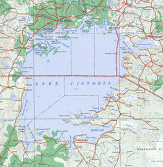
Lake Victoria 1968 Map
2406 miles away
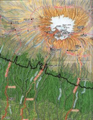
Kilimanjaro Climbing Route Map
Hand-drawn map shows major climbing routes on the southern side of Mt. Kilimanjaro, Tanzania...
2410 miles away
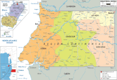
Equatorial Guinea Political Map
2424 miles away
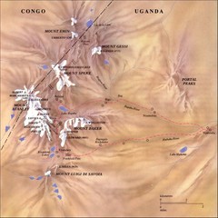
Rwenzori National Park Mt. Stanley Map
2424 miles away
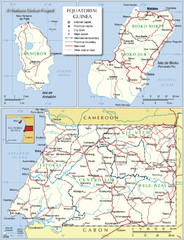
Equatorial Guinea Admin. Map
2426 miles away

