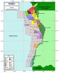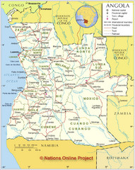
Angola Political Map
Detailed map of Angola marking borders, rivers,capitols, airports, provinces and more.
1494 miles away
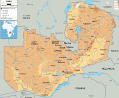
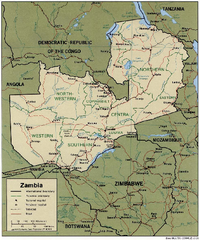
Zambia physical Map
1511 miles away
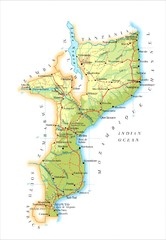
Mozambique Map
1529 miles away
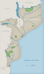
Mozambique National Parks Map
1536 miles away
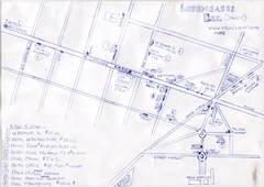
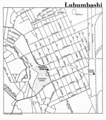
Hand Drawn Lubumbashi City Map
The City Center of Lubumbashi in the Democratic Republic of the Congo
1584 miles away
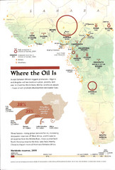
Sub-Saharan Africa Oil Map
Shows major oil producing countries in Sub-Saharan Africa. Biggest two countries are Nigeria and...
1596 miles away
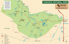
Kasanka National Park Map
1604 miles away
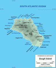
Gough Island Map
1623 miles away

Mfuwe Area South Luangwe National Park Map
1624 miles away
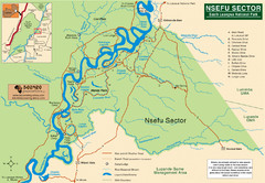
Nsfeu Sector South Luangwa National Park Map
1638 miles away
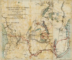
Forest Plateau of Africa Map
A historical Map of the Forest Plateau of Africa. Includes rivers, lakes, cities, and the route of...
1640 miles away
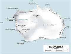
Bouvet Island Map
Map of Bouvet Island in the Southern Atlantic Ocean. Shows peaks and meteorological station.
1654 miles away
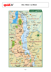
Lake Malawi Map
Map of Lake Malawi and surrounding region
1679 miles away
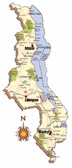
Malawi Map
1704 miles away
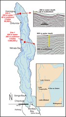
Lake Malawi Bathemetric Map
1738 miles away
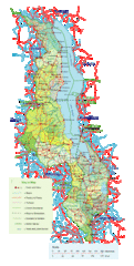
Malawi Overview Map
Overview of country of Malawi on Lake Malawi. Shows roads and rivers.
1754 miles away
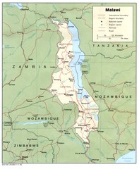
Malawi Map
Guide to Malawi, a country in Africa
1754 miles away
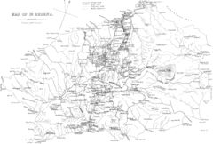
St Helena Historical Map
Map of St Helena by Fowler
1794 miles away
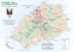
St. Helena Tourist Map
Tourist map of the remote island of St. Helena. Shows details of key locations, routes and...
1794 miles away

Lake Malawi Map
1860 miles away

St Helena Map
1880 miles away
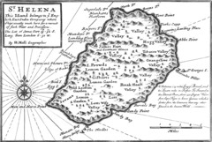
St. Helena 1732 Map
1881 miles away

St. Helena Topography Map
1881 miles away
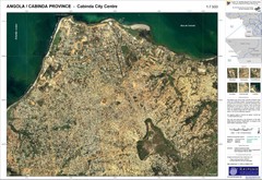
Cabinda City Map
Topo city map of central Cabinda, Angola. Shows points of interest.
1920 miles away

Madagascar land cover and elevation Map
1955 miles away
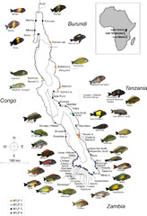
Fish of Lake Tanganyika Map
1969 miles away
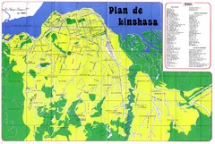
Kinshasa Overview Map
Overview map of Kinshasa, Democratic Republic of Congo shows major streets.
1976 miles away
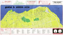
Kinshasa Gombe and Centreville Tourist Map
Tourist map of Gombe and Centreville in Kinshasa. Shows streets and points of interest. In French...
1979 miles away
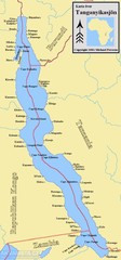
Lake Tanganyika Map
Deepest Lake in Africa at 4823 ft.
1982 miles away
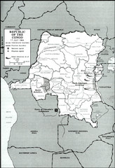
Republic of the Congo 1964 Military Map
Map of the military situation with a hostage crisis in 17 July 1964. Map shows rebel forces and...
1984 miles away
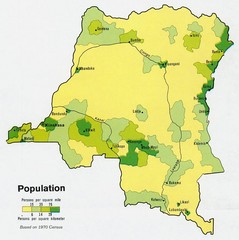
Zaire Population Map
This map clearly marks the distribution of Zaire's population.
2006 miles away
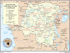
Democratic Republic of Congo Map
Overview map of the Democratic Republic of Congo (DRC).
2006 miles away
Southern Hemisphere World Map
2009 miles away

