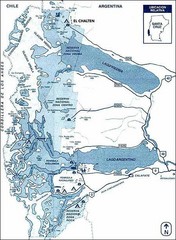
Los Glacieres Park Map
4578 miles away

Qatar geological Map
4578 miles away
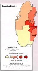
Qatar Population Density Map
Map of Qatar's population density
4582 miles away
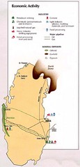
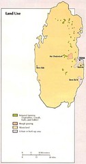
Qatar Economic Activity Map
Map of Qatar's economic activity
4582 miles away
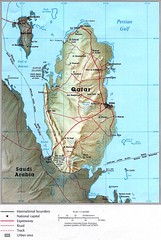
Qatar Country Map
4582 miles away

Qatar political regions Map
4583 miles away
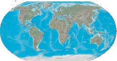
Physical World Map
4583 miles away
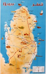
Qatar Map
Qatar country map. From photo taken 2003.
4584 miles away
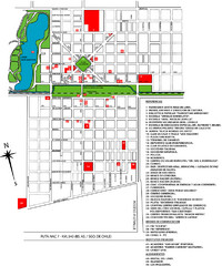
General Levalle Map
Street map
4585 miles away
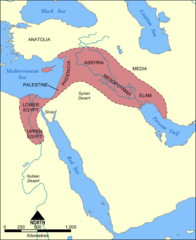
Fertile Crescent Map
Shows the Fertile Crescent of ancient times. Comprises parts of modern day Egypt, Israel, Lebanon...
4585 miles away
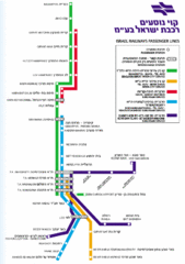
Israel Railways Map
Map of railway lines throughout countries
4587 miles away
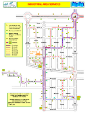
Doha Industrial Bus Route Map
Map of bus routes throughout industrial section of Doha
4588 miles away
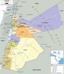
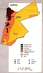
Jordan political Map
4589 miles away
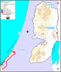
Israel Military Map
Map that describes military activities including check points, security zones, and road blocks.
4589 miles away
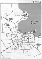
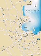
Doha city Map
4589 miles away
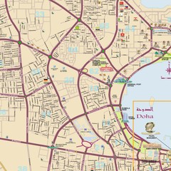
Doha detailed city Map
4589 miles away
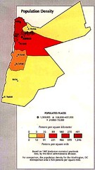
Jordan Population Density Map
Map of Jordan's population density map
4592 miles away

The Dead Sea Map
4596 miles away
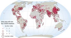
World map of large urban areas in 2005
The population in the urban areas of the world is increasing, and has been increasing throughout...
4599 miles away
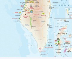
Southern Bahrain tourist Map
4599 miles away
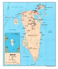
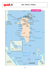
Bahrain Country Map
4599 miles away
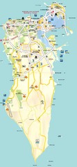
Bahrain Tourist Map
A map of Bahrain with roads, cities, tourist attractions and interesting places pointed out on the...
4599 miles away
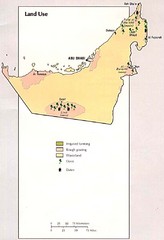
United Arab Emirates Land Use Map
Map of United Arab Emirates' land use
4599 miles away
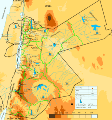
Jordan Water resources Map
4602 miles away
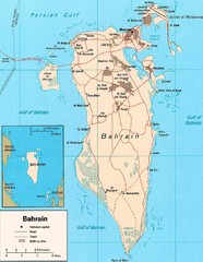
Bahrain road Map
4602 miles away
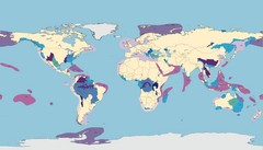
World Water Map
Shows seven major habitat types for freshwater ecoregions: Large Rivers, Large River Headwaters...
4603 miles away
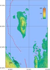
Bahrain physical Map
4604 miles away
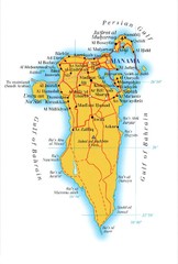
Bahrain Map
4604 miles away

Paraguay Map
Map of Paraguay showing cities, roads, railroads and borders.
4604 miles away
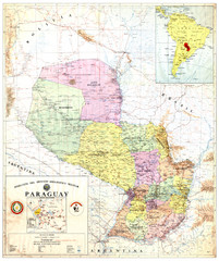
Official map of Paraguay
Official map of Paraguay, year 1993
4604 miles away
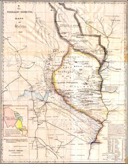
Wartime map of the Chaco
This 1933 map of the Chaco was made during the Chaco War between Paraguay and Bolivia and used by...
4604 miles away
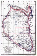
All the failed proposals to delimit the Chaco Map
Here you can see all the proposals to delimit the Chaco between 1879 and 1894. Everyone of them...
4604 miles away
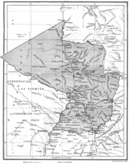
Map of Paraguay before the Chaco War
This is an internationally accepted map of Paraguay before the Chaco War (1932-35) made by Scottish...
4604 miles away
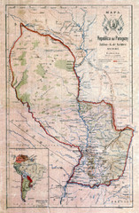
Map of Paraguay before the Chaco War
This dateless map of Paraguay that I scanned shows all the local claim over the Chaco (the northern...
4604 miles away
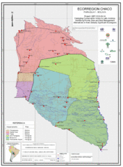
Ecological Region of the Chaco Map
This is the ecological Region of the Chaco shared between Paraguay and Bolivia
4604 miles away
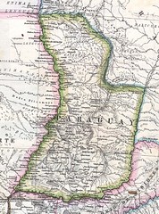
Paraguay Political Map 1875
Political map of Paraguay in 1875. Part of "Mapa Original de la Republica Argentina y Estados...
4604 miles away

