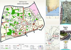
Sana'a Old Town Map
Tourist map of Old Town Sana'a
3759 miles away
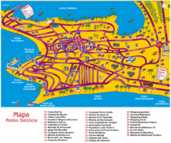
Tourism Map - Maceio, AL
3761 miles away
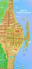
Porto De Galinhas Tourist Map
Porto de Galinhas, Brazil tourist map showing roads and tourist activities.
3766 miles away
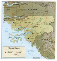
Guinea-Bissau Map
Guide to the country of Guinea-Bissau in Africa
3767 miles away

Guinea-Bissau Political Map
Guide to Guinea-Bissau, a country in Africa
3773 miles away

Northern Africa Tourist Map
Countries in Northern Africa
3773 miles away

Recife Tourist Map
Tourist street map of city
3776 miles away
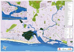
Recife Tourism Map
3776 miles away

World Map
3780 miles away

Guinea-Bissau Map
3781 miles away

Giunea-Bissau Political Map
3785 miles away
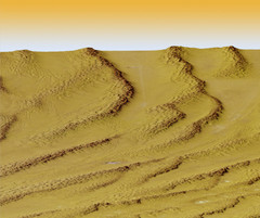
Digital Elevation Model Ataq, Yemen Map
Digital Elevation Model Ataq, Yemen Map
3793 miles away

Ginea-Bissau Admin. Map
3795 miles away
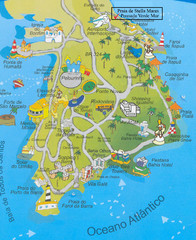
Salvador Tourism Map
3798 miles away
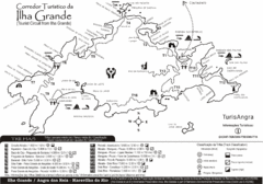
Ilha Grande Tourist Map
Tourist map of island
3800 miles away
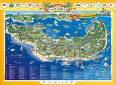
Ilha de Itaparica Tourist Map
Tourist map of Ilha de Itaparica, Brazil. In Portuguese.
3808 miles away
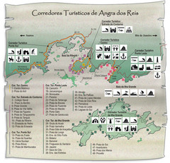
Angra dos Reis Tourist Map
Tourist map of region
3810 miles away
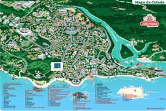
João Pessoa Tourist Map
Tourist map of Joao Pessoa, Brazil. Shows points of interest.
3812 miles away
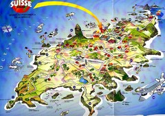
Fernando de Noronha Island Map
Tourist map of Ilha de Fernando de Noronha. Scanned.
3813 miles away
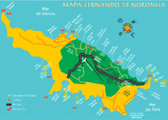
Ilha de Fernando de Noronha Map
3813 miles away
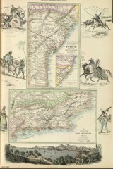
Middle Provinces of Brazil Map 1872
Map of province east coast of Brazil (Bahia) and province of Rio de Janeiro, Brazil 1872
3820 miles away
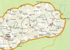
Gambia 6 Map
3830 miles away
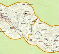
Gambia 5 Map
3853 miles away
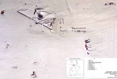
Amundsen Scott South Pole Station Aerial Map
Aerial photo map of the US Amundsen Scott South Pole Station at the South Pole, Antarctica
3859 miles away
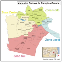
Campina Grande Neighborhood Map
Shows neighborhoods (bairros) of city of Campina Grande, Brazil. Campina Grande is the 2nd most...
3865 miles away
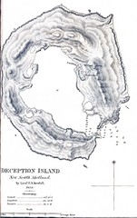
Deception Island Map
3875 miles away
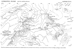
Livingston Island Map
3876 miles away
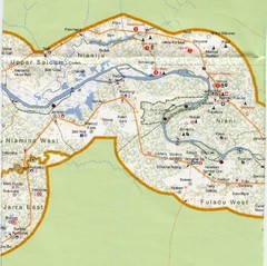
Gambia 4 Map
3878 miles away
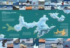
Livingston Island Ice Cover Map
L.L. Ivanov et al, Antarctica: Livingston Island, South Shetland Islands (from English Strait to...
3879 miles away
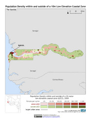
The Gambia 10m LECZ and Population Density Map
Populaton Density within and outside of a 10 meter Low Elevation Coastal Zone
3879 miles away
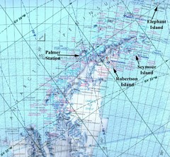
Antarctic Peninsula Map
Physical map of Antarctic Peninsula
3879 miles away
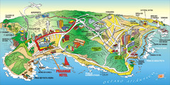
Praia de Ponta Negra, Natal, RN Map
3880 miles away
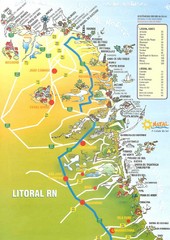
Coast line - Rio Grande do Norte Map
3883 miles away
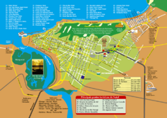
Natal Tourist Map
Tourist map of city of Natal, Brazil. Shows streets, hotels, and main points of interest.
3885 miles away
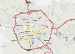
Abha City Map
3887 miles away
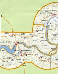
Gambia 3 Map
3888 miles away
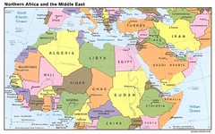
Northern Africa Map
Map of Northern Africa and Middle East
3889 miles away
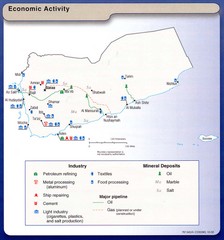
Yemen Economic Activity Map
Map of Yemen's economic activity
3899 miles away


