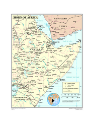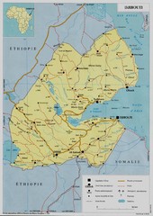
Djibouti, Africa Map
3494 miles away
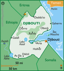
Djibouti, Africa Map
3494 miles away
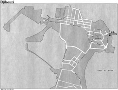
Djibouti, Africa City Map
3494 miles away
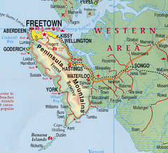
Freetown Map
Clear map of this amazing peninsula.
3515 miles away
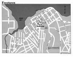
Freetown City Map
Road map of this Sierra Leone Capitol.
3516 miles away
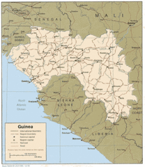
Guinea Map
Guide to Guinea, a country in Africa
3520 miles away

Niger population density Map
3526 miles away
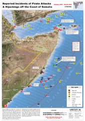
Pirate Attacks off Coast of Somalia Map
Shows reported incidents of pirate attacks and hijackings off the coast of Somalia from January...
3529 miles away
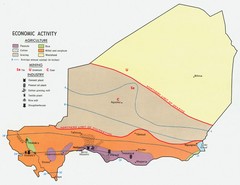
Niger 1969 Economic Activity Map
Guide to the economic activity of Niger in 1969
3530 miles away
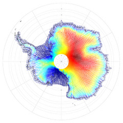
Antarctica Land and Ice Elevation Map
The colors on the map above represent ICESat’s measurements of Antarctica’s topography...
3554 miles away

Bamako Map
3577 miles away
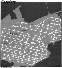
Conakry Road Map
Large and clear road map.
3593 miles away
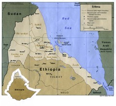
Eritrea Map
3594 miles away
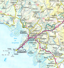
Conakry Map
Map marking airports, rivers, cities and geography of this Guinea city.
3598 miles away
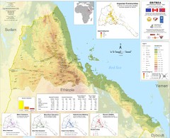
Eritrea Physical Map
3600 miles away
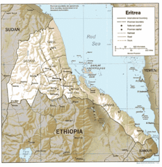
Eritrea in 1987 Map
3621 miles away
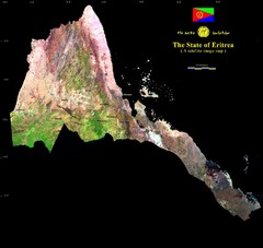
Eritrea Satellite Image Map
Eritrea photographed from space
3621 miles away
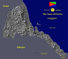
State of Eritrea Drainage and Elevation Map
Eritrea elevation map with drainage lines shown
3621 miles away
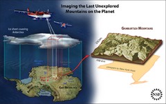
Gamburtsev Subglacial Mountains Map
First ever map of the last unexplored mountains on the planet, the Gamburtsev Subglacial Mountains...
3637 miles away
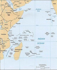
Indian Ocean Islands Map
Guide to the islands and atolls of the Indian Ocean
3651 miles away

Mali topography Map
3652 miles away

Mali Political Map
3653 miles away
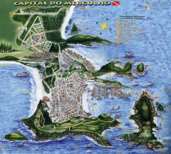
Arraial do Cabo Tourist Map
Tourist map of Arraial do Cabo, Brazil. Approx. 150 km from Rio de Janeiro. Hand-drawn panorama...
3677 miles away

Yemen Map
3730 miles away

Malaria Risk Map
Shows global malaria risk for all regions: stable, unstable, and malaria free
3738 miles away
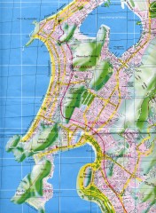
Rio de Janeiro Copacabana Area Map
Shows Copacabana and Pao de Azucar area of Rio de Janeiro, Brazil. Map is oriented south. Scanned.
3745 miles away
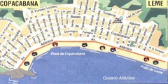
Copacabana-Leme Map
Street map of Copacabana - Leme regions of Rio
3745 miles away
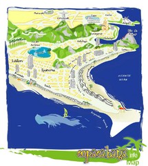
Copacabana Tourist Map
3746 miles away
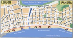
Ipanema - Leblon Street Map
Street map of Ipanema/Leblon region of Rio
3746 miles away
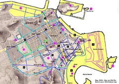
New and Old Rio de Janiero Map
Shows 2000 view of Rio de Janeiro, Brazil superimposed over 1838 Dufour map.
3746 miles away
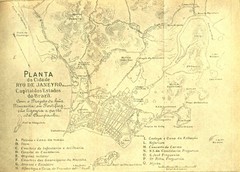
Rio De Janeiro Historical Map
Map of Rio De Janeiro, Brazil likely from 1769 showing the city streets and main buildings.
3747 miles away
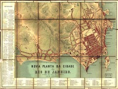
Rio de Janeiro Map 1867
Detailed map of city of Rio de Janeiro. Looks like the map portion has been overlayed on top of a...
3748 miles away
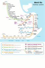
Metro Rio Map
Map of metro subway throughout Rio De Janeiro
3749 miles away
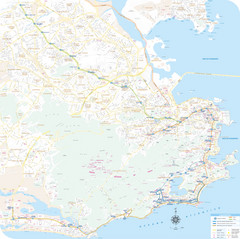
Rio de Janiero Map
3749 miles away
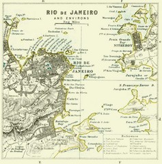
Rio De Janeiro Historical Map
Map of Rio De Janeiro, Brazil fro 1896. Map showis towns, buildings and roads.
3749 miles away
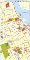
Rio de Janeiro Center Map
Street map of city center
3749 miles away
. Map
3749 miles away
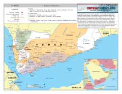
Al Qaeda Map in Yemen
3758 miles away

