
Baseball Spring Training in Souther Florida Map
Guide 2009 Baseball Spring Training in Florida
0 miles away
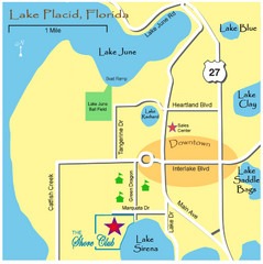
Lake Placide Town Map
24 miles away
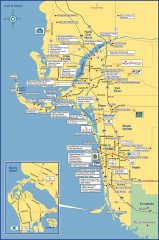
Fort Meyers tourist map
Tourist map of Fort Meyers, Florida. Shows businesses and points of interest.
31 miles away
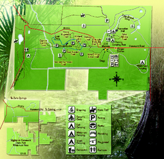
Highlands Hammock State Park Map
35 miles away
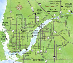
Cap Coral and Surrounding Area Map
Small, humble fishing community along the coast of Florida.
36 miles away
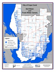
Cape Coral, Florida City Map
37 miles away
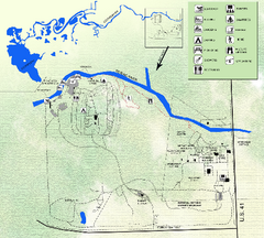
Koreshan State Historic Site Map
Map of park with detail of trails and recreation zones
42 miles away
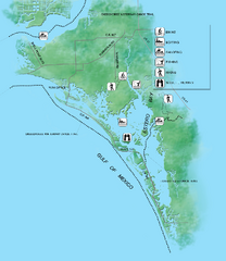
Estero Bay Preserve State Park Map
Map of park with detail of trails and recreation zones
44 miles away
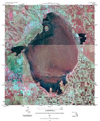
Elevation contour maps of Lake Okeechobee Map
Elevation contour maps of Lake Okeechobee
44 miles away
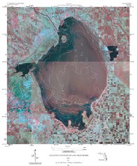
Elevation Contours of Lake Okeechobee Map
Elevation contour maps of Lake Okeechobee
44 miles away
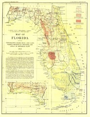
Topography of Florida Map
Topographic map of Florida that was developed in 1913. It shows the elevation changes that are...
49 miles away
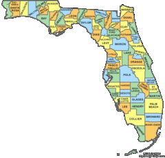
Florida Counties Map
49 miles away
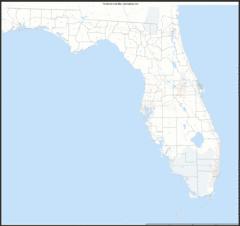
Florida Zip Code Map
Check out this Zip code map and every other state and county zip code map zipcodeguy.com.
49 miles away
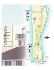
Gasparilla Island State Park Map
Map of park with detail of trails and recreation zones
50 miles away
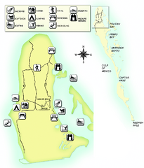
Cayo Costa State Park Map
Map of park with detail of trails and recreation zones
50 miles away
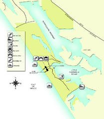
Don Pedro Island State Park Map
Map of park with detail of trails and recreation zones
51 miles away
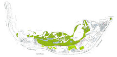
Sanibel Island and Captiva Island Map
51 miles away
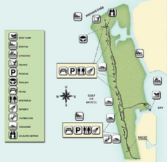
Delnor-Wiggings Pass State Park Map
Map of park with detail of trails and recreation zones
52 miles away
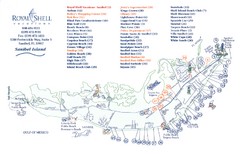
Sanibel Island Tourist Map
Tourist map of Sanibel Island, Florida
52 miles away
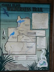
Myakka Island Trail Map
Trail map of Myakka Island. From photo.
52 miles away
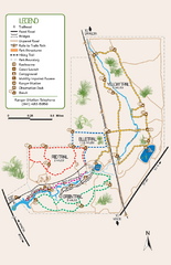
Oscar Scherer State Park Trail Map
Map of park with detail of hiking trails throughout
62 miles away

Birdwatching Areas in St. Lucie County Florida Map
Map shows Birdwatching Areas in St. Lucie County, Florida.
63 miles away
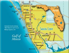
Sarasota Map
Sarasota county map and road system.
66 miles away
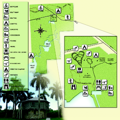
Collier-Seminole State Park Map
Map of park with detail of trails and recreation zones
68 miles away
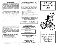
Alafia River State Park Bike Trail Map
Map of park with detail of various bike trails throughout
69 miles away
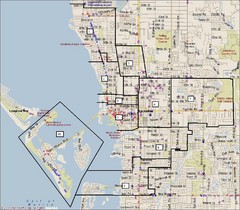
Sarasota, Florida City Map
69 miles away
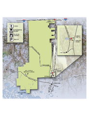
Fakahatchee Strand Preserve State Park Map
Map of park
70 miles away
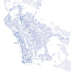
Marco Island Hotel Map
Hotel map of Marco Island, Florida
72 miles away
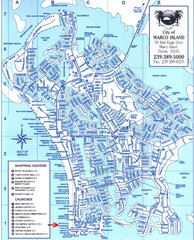
Marco Island Map
72 miles away

Port St. Lucie , Florida City Map
73 miles away
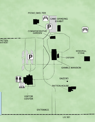
Gamble Plantation Historic State Park Map
Map of park with detail of recreation zones
75 miles away
Bradenton Beach Map
Bradenton Beach and surrounding beach map.
76 miles away
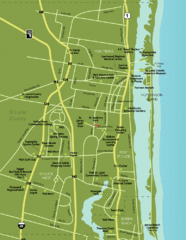
Port St. Lucie Map
Map of Port Saint Lucie.
77 miles away
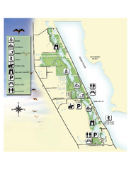
Savannas Preserve State Park Map
Map of park with detail of trails and recreation zones
78 miles away
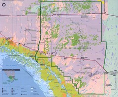
Big Cypress National Reserve Map
79 miles away
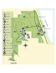
Jonathan Dickinson State Park Map
Map of park with detail of trails and recreation zones
83 miles away
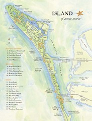
Ana Maria Island Tourist Map
84 miles away
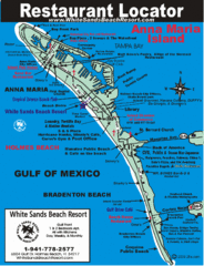
Anna Maria Island, Florida Restaurant Map
85 miles away
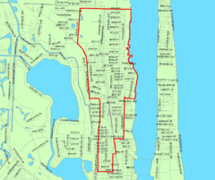
West Palm Beach, Florida City Map
87 miles away
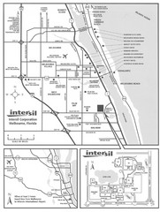
Palm Bay, Florida City Map
88 miles away

