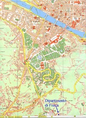
South-West Area of Florence Map
Map of the South-West Area of Florence with the Physics Department of the University of Florence...
233 miles away
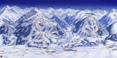
Planai-Hochwurzen Ski Trail Map
Trail map from Schladming.
234 miles away
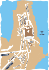
Capodimonte Map
235 miles away
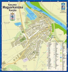
Kanizsa City Map
City map of Kanjiza, Serbia. Shows businesses.
235 miles away
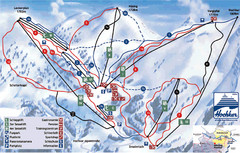
Hochkar Ski Trail Map
Trail map from Hochkar.
236 miles away
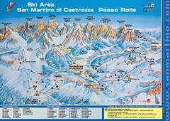
San Martino di Cartozza Ski Trail Map
Ski trail map of San Martino di Cartozza, Italy
236 miles away
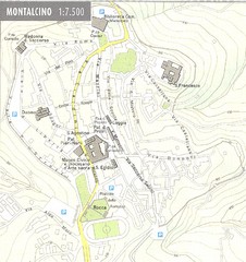
Montalcino Map
237 miles away
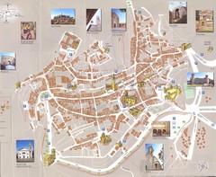
Montalcino Map
237 miles away
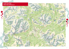
Cortina d'Ampezzo Hiking Map
Summer hiking map of the Cortina d'Ampezzo, Italy area in the heart of the Dolomite Mountains...
237 miles away
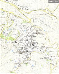
Siena Map
237 miles away
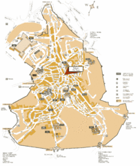
Siena Tourist Map
Tourist map of Siena, Italy. Show streets and points of interest.
238 miles away
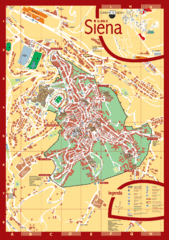
Siena Tourist Map
Tourist map of central Siena, Italy in Tuscany. Shows points of interest.
238 miles away
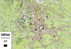
Siena Map
238 miles away
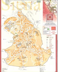
Siena Map
238 miles away

Alta Pusteria Ski Trail Map
238 miles away
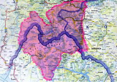
Proposed Balkans Peace Park Map
Shows the proposed Balkans Peace Park area which includes Albania to the South, Kosovo to the...
238 miles away
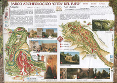
Sorano. Parco archeologico "Citta del tufo...
239 miles away
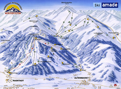
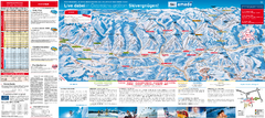
Ski Amade Map
239 miles away
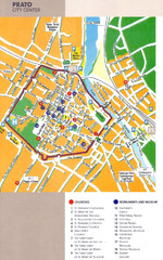
Prato Tourist Map
Tourist map of center of the city of Prato, Italy. Shows points of interest.
239 miles away
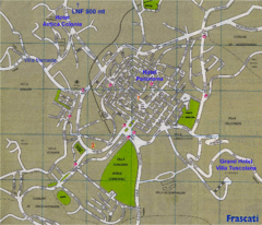
Frascati Tourist Map
239 miles away
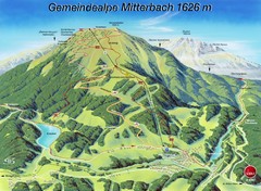
Mitterbach-Gemeindalpe Summer Ski Trail Map
Trail map from Mitterbach-Gemeindalpe.
240 miles away

Solar Radiation Map of Italy
Solar Radiation Map Based on high resolution Solar Radiation Database: SolarGIS. On the Solar Map...
240 miles away
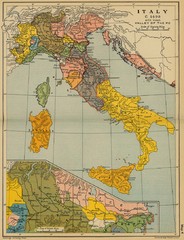
1490 Italy Historical Map
240 miles away
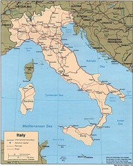
Italy Road Map
Main Highways map of Italy with cities and railroads identified.
240 miles away
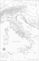
Roman Italy Map
This map depicts many of the principal sites and features of Roman Italy. It contains elevation...
240 miles away
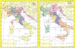
Italy Historic Political Map 15th Century and...
Side-by-side political maps showing Italy at the close of the 15th century and the unification of...
240 miles away
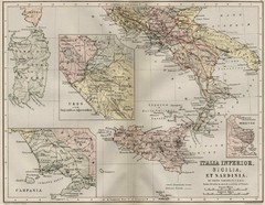
Italy and Sicily Ancient Map
Map of ancient Italy, Sicily, and Sardinia. Year unknown.
240 miles away
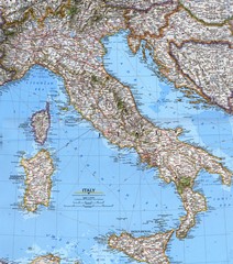
Italy Political Map
Political map of Italy. Scanned.
240 miles away
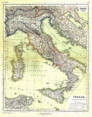
Italy Map 1898
Overview map of Italy from 1898. Shows regions.
240 miles away
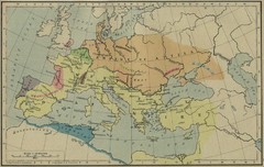
Roman Empire Map
240 miles away
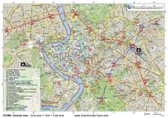
Rome Downtown Printable Map
This is the perfect printable map of Rome. Easy to use and very detailed, it includes: - all...
241 miles away
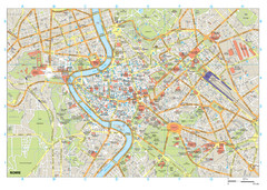
Rome Buildings Map
Map of Rome, Italy center. Shows major streets and buildings. Neighborhoods also shown.
242 miles away
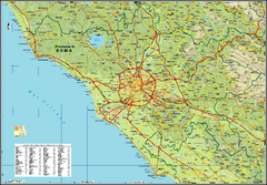
Rome Province Map
Road and physical map of the province of Rome, Italy. Shows towns represented by orange blocks...
242 miles away
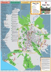
Rome Biking Map
Biking route map of the area around Rome, Italy. Shows biking routes in roads and in parks.
242 miles away
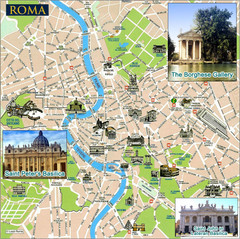
Rome Tourist Map
Tourist map of central Rome, Italy. Shows major landmarks represented by sketches. Also shows...
242 miles away
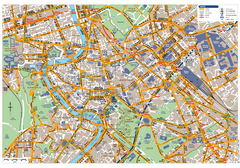
Rome Centro Transportation Map
Shows streets, major buildings, and metro stops of central Rome, Italy
242 miles away
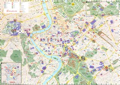
Roma Map
242 miles away

Rome City Tourist Map
242 miles away
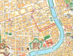
Rome City Tourist Map
242 miles away

