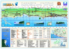
Brela Tourist Map
Tourist map of Brela, Croatia. Shows street index and list of hotels.
87 miles away
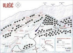
Vlasic Ski Trail Map
Trail map from Vlasic.
88 miles away
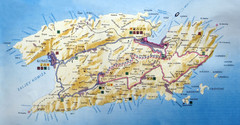
Vis Island Map
93 miles away
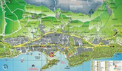
Makarska Tourist Map
94 miles away

Hvar Island Map
Nautical map of the island of Hvar. Town of Sucuraj highlighted.
95 miles away

Island of Hvar Map
Map of the Island Hvar, Croatia showing roads and cities.
95 miles away
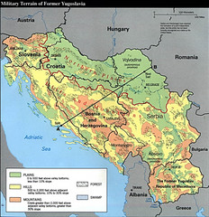
Bosnia and Herzegovina Military Terrain Map
Map of military terrain of former Yugoslavia
95 miles away
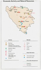
Bosnia and Herzegovina Economic Activity Map
Map of economic activity throughout Bosnia and Herzegovina
95 miles away
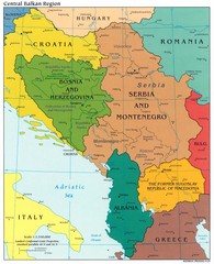
Central Balkan Political Map
95 miles away
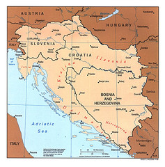
West Balkan States Tourist Map
95 miles away
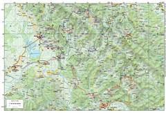
Bike Route starting in Ivanić-Grad Map
Bike route and trails through the cradle of Croatia’s oil drilling industry and the wondrous...
96 miles away
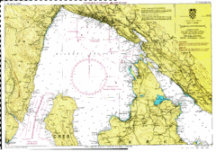
Rijeka hajózási Map
96 miles away
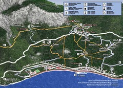
Tucepi Tourist Map
97 miles away
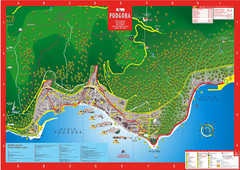
Podgora map
99 miles away
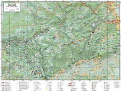
Samobor Region Cycling Route Map
Cycling route map for region west of Samobor, Croatia. Shows all routes in km
100 miles away
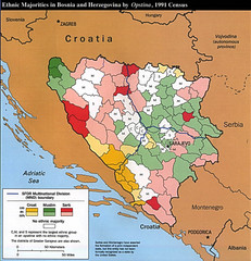
Ethnic Majorities in Bosnia and Herzegovina Map
100 miles away
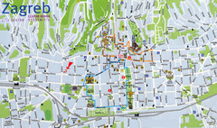
Zagreb Croatia Tourist Map
Zagreb City Centre Tourist map showing tourist attractions, hotels, tourist information and city...
100 miles away
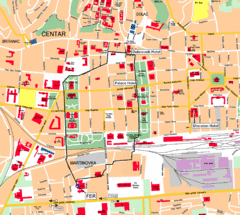
Zagreb Center Map
100 miles away
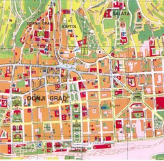
Zagreb Tourist Map
Tourist map of central Zagreb, Croatia. Shows major buildings.
100 miles away
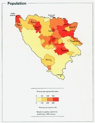
Bosnia and Herzegovina Population Density Map
Map of Bosnia and Herzegovina's population density
101 miles away
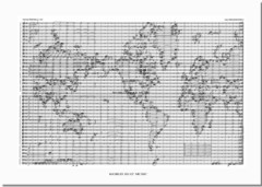
World Music Map
A world map made out of musical notation.
102 miles away
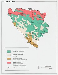
Bosnia and Herzegovina Land Use Map
Map of Bosnia's land use
103 miles away
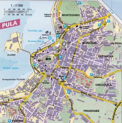
Pula City Map
City map of Pula, Croatia. Shows major streets.
105 miles away
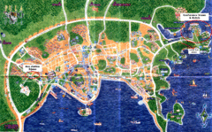
Pula Tourist Map
Tourist map of Pula, Croatia. Bus station highlighted. Scanned.
105 miles away
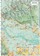
Sulta and Sava Croatia Cycling Route Map
the trails on this map are through picturesque hills to the confluence of the Sutla and Sava Rivers...
107 miles away
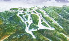
Medvednica Ski Trail Map
Trail map from Medvednica.
107 miles away
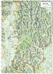
Villages and Sutla River Valley Bike Route Map
Bike routes and trails through the villages to the Sutla River Valley in Croatia. Note: The map...
108 miles away
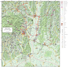
Zagreb County Cycling Route Map
Shows a cycling route in Zagreb County, Croatia. From the Roman “Magna Vie” near Komin...
113 miles away
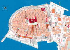
Korcula Tourist Map
Tourist map of old town Korcula, Croatia
116 miles away
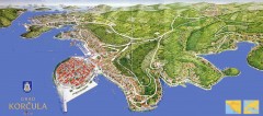
Korcula Tourist Map
Panoramic tourist map of town of Korcula, Croatia and surroundings. From korculainfo.com: "...
117 miles away

Slavonski Brod Tourist Map
Map of Slavonski Brod, Croatia showing streets, hotels, restaurants and tourist attractions.
119 miles away
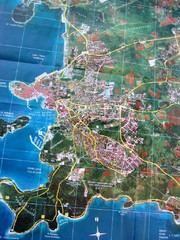
Rovinj Tourist Map
Tourist map of Rovinj, Croatia. Map is based on aerial photo.
120 miles away
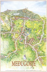
Medjugorje Tourist Map
Tourist map of town of Medjugorje, Bosnia & Herzegovina.
121 miles away
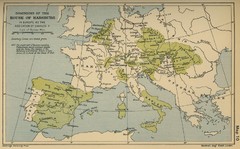
Dominions in the House of Habsburg - 1547...
123 miles away
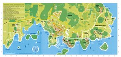
Vrsar Tourist Map
123 miles away

Porec Tourist Map
126 miles away
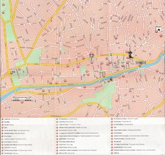
Sarajevo Downtown Map
Free tourist map of downtown Sarajevo from Sarajevo Navigator Brochure
129 miles away
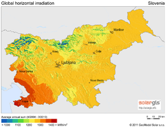
Solar Radiation Map of Slovenia
Solar Radiation Map Based on high resolution Solar Radiation Database: SolarGIS. On the Solar Map...
130 miles away
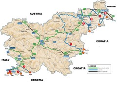
Slovenia Highways Map
130 miles away

