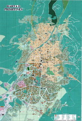
Pristina Tourist Map
Tourist map of Pristina, Kosovo.
290 miles away
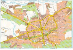
Tiranë Street Map
Street map of central Tirane (Tirana), Alabania. Scanned.
291 miles away
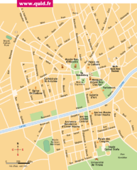
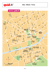
Tirana Map
291 miles away
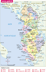
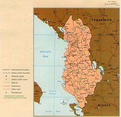
albanie Map
291 miles away
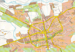
Tirane City Tourist Map
Information, hospitals and places of interest.
291 miles away
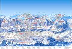
Innsbruck Region Ski Map
Shows ski regions around Innsbruck, Austria
291 miles away

Cremona Map
292 miles away
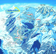
Fulpmes Ski Trail Map
Trail map of Fulpmes ski area in the Stubai Alps near Fulpmes, Austria. Schlick 2000
292 miles away
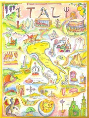
Italy Map
Work of art from my travel sketch books. Watercolor and ink original. Archival quality poster (13...
292 miles away
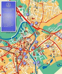
Nitra City Map
City map of central Nitra, Slovakia
293 miles away
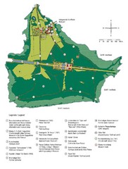
Chiemsee Island Germany Tourist Map
Tourist map of the island showing all the tourist sites.
293 miles away
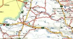
Arad Map
293 miles away
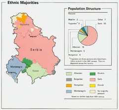
Serbia and Montenegro Ethnic Majorities Map
Map of ethnic majorities throughout Serbia and Montenegro
293 miles away
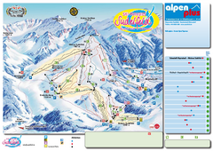
Sudelfeld Ski Trail Map
Trail map from Sudelfeld.
294 miles away
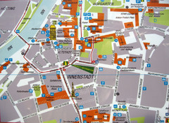
Innsbruck Tourist Map
Tourist map of inner Innsbruck, Austria. Photo of outdoor map.
294 miles away
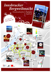
Innsbruck Christmas Markets Map
Christmas market map of Innsbruck, Austria.
294 miles away
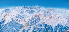
Axamer Lizum Ski Trail Map
Trail map from Axamer Lizum.
294 miles away
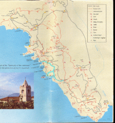
Tellaro Trail Map
Trail map showing marked and unmarked paths and other tourist points of interest. In English.
295 miles away
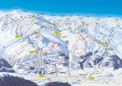
Solden Ski Trail Map
Ski trail map of the Solden ski area in the Tyrol region of Austria.
295 miles away

Sulden Ski Trail Map
Ski trail map of Sulden (Solda), Italy in the Ortler Alps. Shows trails and lifts.
296 miles away

La Spezia Ferry Map
299 miles away
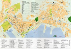
Spezia Map
300 miles away
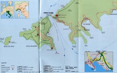
Porto Venere Map
300 miles away
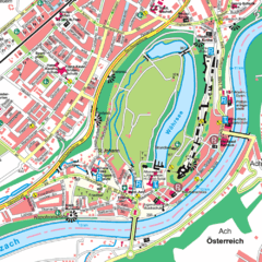
Burghausen Tourist Map
Tourist street map of Burghausen
300 miles away

Sulden Trafoi Summer Hiking Map
Summer hiking route map of Sulden (Solda) Italy, Trafoi, Italy and Stelvio, Italy. Shows hiking...
300 miles away
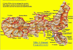
Elba topographic Map
300 miles away
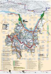
Majdanpek Tourist Map
Tourist map of municipality of Majdanpek, Serbia. Shows points of interest. In Serbian.
301 miles away
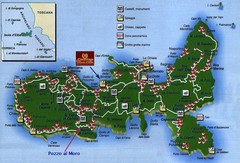
Elba Tourist Map
Tourist map of the island of Elba, Italy. Shows points of interest.
301 miles away
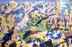
Bormio Panorama Map
Panorama tourist map of Bormio, Italy. Shows Ortler Alps in distance. From photo.
301 miles away
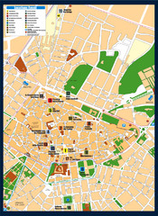
Lecce Tourist Map
Tourist map of historic center of Lecce, Italy. Shows points of interest.
302 miles away
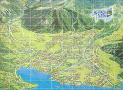
Rottach Egern Map
303 miles away
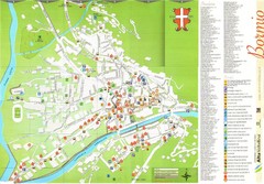
Bormio Tourist Map
Tourist map of town of Bormio, Italy. Legend of all streets and services.
303 miles away
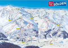
Otztal Ski Trail Map
Trail map from Otztal.
304 miles away
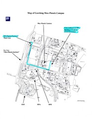
Garching Max-Planck Campus Map
Map of the Max-Planch Campus in Garching, Germany. Includes information on Accommodation and...
304 miles away
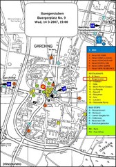
Map of the city of Garching, Germany
General visitor information including the locations of restaurants, hotels, bus stops and more.
304 miles away
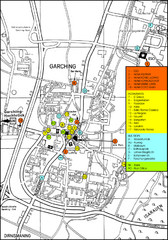
Garching Map
Map of Garching, a suburb to the north of Munich, with hotels, restaurants and bus stops marked.
304 miles away
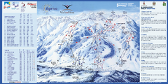
Aprica Ski Trail Map
Trail map from Aprica, which provides downhill skiing. This ski area has its own website.
304 miles away
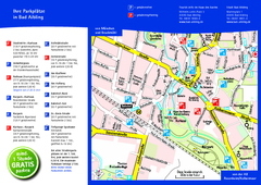
Bad Aibling Tourist Map
Tourist parking map of downtown Bad Aibling
304 miles away

