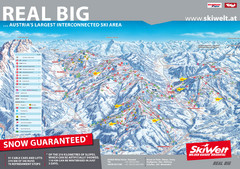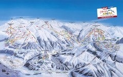
Zillertal Arena Ski Trail Map
Trail map from Zillertal Arena.
276 miles away
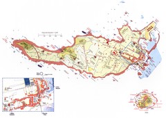
Ventotene Tourist Map
Tourist map of island of Ventotene, Italy. Also shows Santo Stefano island. Shows points of...
277 miles away
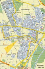
Freilassing Map
Street map of Freilassing
277 miles away

Capri Map
277 miles away
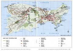
Capri Tourist Map
Tourist map of island of Capri, Italy. Shows roads, hotels, beaches, and other points of interest...
277 miles away
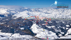
Rosskopf (Vipiteno) Ski Trail Map
Trail map from Rosskopf (Vipiteno), which provides downhill skiing. It has 4 lifts. This ski area...
277 miles away
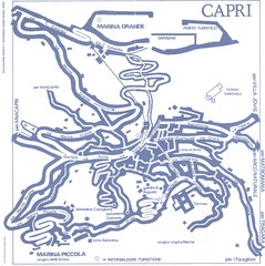
Capri Town Map
277 miles away
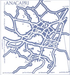
Anacapri Map
277 miles away
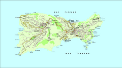
Capri Tourist Map
Tourist map of island of Capri, Italy
277 miles away
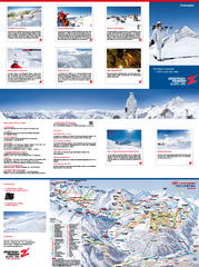
Zillertal 3000 (Hintertux) Ski Trail Map
Trail map from Zillertal 3000 (Hintertux).
277 miles away
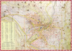
Merano Map
277 miles away
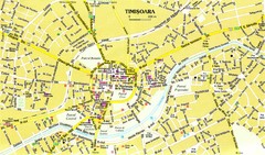
Timisoara Tourist Map
Tourist map of central TimiÅŸoara, Romania. Shows points of interest.
279 miles away
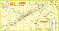
Ultental Deutschnonsberg St. Walburg Tourist Map
Tourist map of the southern Tyrol region around Ultental, Deutschnonsberg, and St. Walburg/ S...
280 miles away
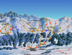
Ratschings / Racines Ski Trail Map
Trail map from Ratschings / Racines.
280 miles away
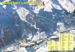
Ladurns Ski Trail Map
Trail map from Ladurns, which provides downhill skiing. This ski area has its own website.
280 miles away
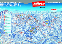
Wilder Kaiser Ski Trail Map
Trail map from Wilder Kaiser – Gosau, Scheffau, Ellmau.
280 miles away
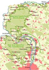
Duna-Ipoly Nemzeti Park Map
Overview map of Duna-Ipoly Nemzeti Park (Danube-Ipoly National Park) north of Budapest, Hungary
281 miles away
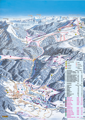
Reit im Winkl Ski Trail Map
Trail map from Reit im Winkl.
281 miles away
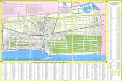
Viareggio Map
281 miles away
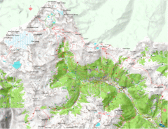
Val di Rabbi Topo Map
Detailed topographic map of Val di Rabbi, Italy on the edge of Stelvio National Park
281 miles away
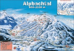
Alpbach Ski Trail Map
Trail map from Alpbach.
282 miles away
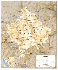
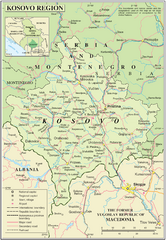
Kosovo province Map
Shaded relief map of Serbia’s Kosovo province, 1993
282 miles away
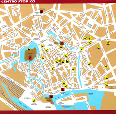
Livorno Tourist Map
Tourist map of historical center of Livorno, Italy. Shows tourist points of interest.
282 miles away
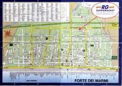
Forte dei Marmi-map Map
284 miles away
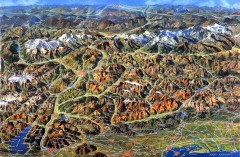
Eastern Alps Italy and Austria Overview Map
Panoramic map of the mountains and towns of northern Italy, the Tyrol, and southern Austria
285 miles away
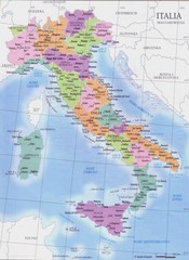
Italy regions map
285 miles away
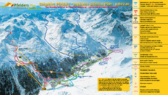
Pfelders Ski Trail Map
Trail map from Pfelders, which provides downhill and nordic skiing. This ski area has its own...
285 miles away
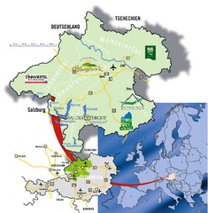
Upper Austria Tourist Map
286 miles away
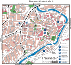
Traunstein Map
Street map of Traunstein
287 miles away

Brescia Map
288 miles away
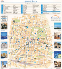
Brescia Tourist Map
Tourist map of central Brescia, Italy. Shows points of interest and photos.
288 miles away

Brescia centro Map
288 miles away
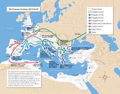
Germanic Invasions Map 378-439
Shows the breakdown of the Roman frontier in the late 4th and early 5th centuries.
288 miles away
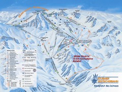
Stubaital Ski Trail Map
Trail map from Stubaital.
289 miles away


