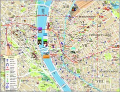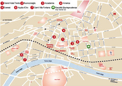
Trento center Map
259 miles away
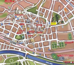
Trento Tourist Map
Tourist map of central Trento, Italy. Shows major buildings.
259 miles away
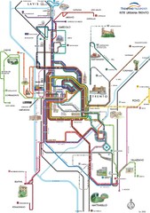
Trento Bus Route Map (Italian)
259 miles away
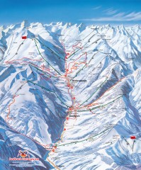
Saalbach and Hinterglemm Winter walks map
Panoramic map showing winter walks in the Saalbach and Hinterglemm Austria area.
259 miles away
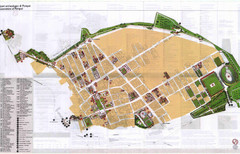
Pompei Map
Tourist map of Pompei, Italy. Shows excavations. Scanned, some bleed through. In English and...
260 miles away
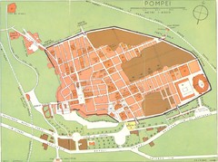
Pompei scavi Map
old tourist map of the excavated area
260 miles away
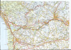
Northwest Tuscany Area Map
Scan of road map of northwestern Tuscany showing Pisa, Lucca, and Pistoia areas.
260 miles away

East Central and Southeast Europe Nationality Map
Shows color-coded nationalities on map of central eastern and southeastern Europe. 1989-1992
261 miles away
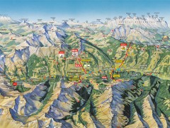
Saalbach Hinterglemm Summer Hiking Map
Summer panorama map of Saalbach and Hinterglemm Austria area. Shows trails, lifts, huts, and peaks.
261 miles away
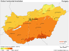
Solar Radiation Map of Hungary
Solar Radiation Map Based on high resolution Solar Radiation Database: SolarGIS. On the Solar Map...
261 miles away
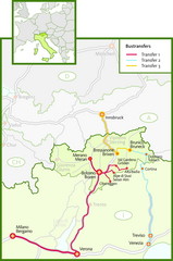
Northern Italy Bustransfer Map
261 miles away

Grosseto Map
263 miles away

Lazise region and centro Map
263 miles away
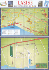
Lazise Map
263 miles away
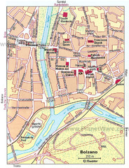
Bolzano centro Map
263 miles away
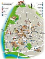
Bolzano tourist map
264 miles away
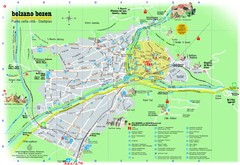
Bolzano Tourist Map
Tourist map of Bolzano, Italy.
264 miles away
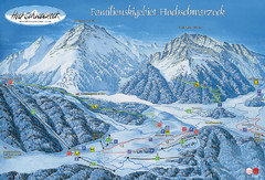
Berchtesgadener Land Ski Trail Map
Trail map from Berchtesgadener Land.
264 miles away

Peschiera del Garda Map
264 miles away
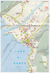
Nago-Torbole Map
264 miles away
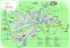
Bolzano Map
264 miles away
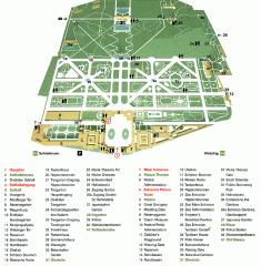
Schonbrunn Palace map
From Wikipedia: Schonbrunn Palace (German: Schloss Schonbrunn) in Vienna is one of the most...
264 miles away

Bardolino region and centro Map
264 miles away

Bardolino Map
264 miles away

Bardolino Map
264 miles away

Bardolino Map
264 miles away
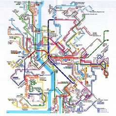
Budapest Public Transportation Map
265 miles away
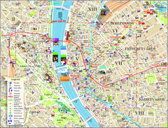
Budapest Tourist Map
Tourist map of central Budapest, Hungary. Shows theaters, museums, post offices, churches, and...
265 miles away
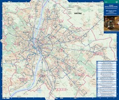
Budapest Night Bus Routes Map
Map of night bus routes in Budapest, Hungary
265 miles away
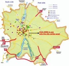
Budapest Hotel Map
265 miles away
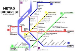
Budapest Metro Map
265 miles away
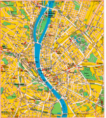
Budapest Tourist Map
265 miles away
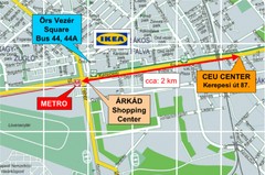
Local Budapest Tourist Map
Stores, main streets and locations in Central Budapest
265 miles away
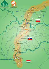
Amber Trail Budapest-Krakow Map
Amber Trail map showing the trail from Budapest to Krakow where you will see several heritage sites.
265 miles away
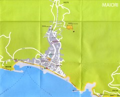
Maiori Map
265 miles away
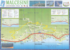
Malcesine Map
265 miles away
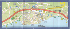
Malcesine Map
265 miles away
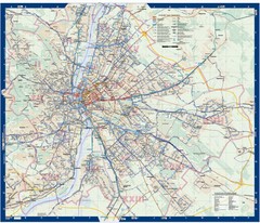
Budapest Public Transit map
265 miles away
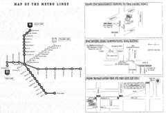
Central European University Metro and Bus Line Map
265 miles away

