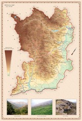
Karabakh Map
Physical Map of the Nagorno-Karabakh Republic (Artsakh)
1021 miles away
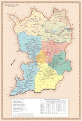
Karabakh Map
Administrative Map of the Nagorno-Karabakh Republic (Artsakh)
1021 miles away
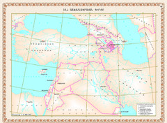
Karabakh Map
Geographic Location of the Nagorno-Karabakh Republic (Artsakh)
1021 miles away
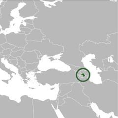
Nagorno-Karabakh Republic on the Map
The Nagorno-Karabakh Republic on the Regional Map
1021 miles away
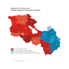
Armenia & Karabakh Vector Map
Map of the Republic of Armenia and the Nagorno-Karabakh Republic (Artsakh)
1021 miles away
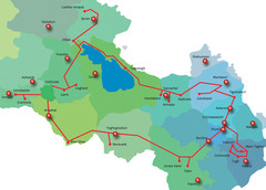
Armenia & Karabakh "Gold Circle" Map
Map of Tourist Attractions in Armenia & Nagorny Karabakh
1021 miles away

Armenia Map
Map of the Republic of Armenia and the Nagorno Karabakh Republic (Artsakh)
1021 miles away

Stepanakert Town Map
Town Plan of Stepanakert - capital of the Nagorno-Karabakh Republic (Artsakh)
1021 miles away
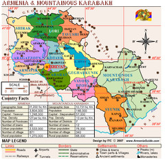
Armenia & Nagorny Karabakh Map
Map of Armenia & Nagorny Karabakh (Artsakh)
1021 miles away

Armenia & Karabakh Land Map
Land Map of the Republic of Armenia and the Nagorno-Karabakh Republic (Artsakh)
1021 miles away

Armenia & Karabakh Geomorphological Map
1021 miles away
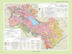
Armenia & Karabakh Geotechnical Map
Geotechnical Map of the Republic of Armenia and the Nagorno-Karabakh Republic (Artsakh)
1021 miles away
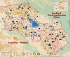
Historical Monuments of Armenia and Nagorny...
Map of Armenian Historical Monuments of the Republic of Armenia (Ararat Republic) and the Nagorno...
1021 miles away
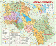
Map of the Republic of Armenia and the Nagorno...
Map of modern Armenian states - the Republic of Armenia and the Nagorno-Karabakh Republic (Artsakh)
1021 miles away
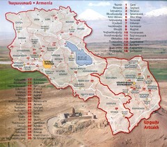
Armenia and Nagorny Karabakh Map
Map of Armenian states - the Republic of Armenia and the Nagorno-Karabakh Republic
1021 miles away
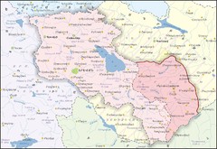
Republic of Armenia and Nagorno-Karabakh Republic...
Map of the Republic of Armenia and the Nagorno-Karabakh Republic (Artsakh)
1021 miles away
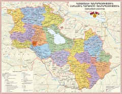
Administrative Map of Armenia & Nagorny...
Administrative Map of the Republic of Armenia and the Nagorno-Karabakh Republic
1021 miles away
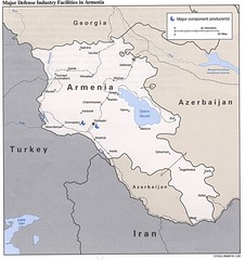
Armenia Defense Facilities Map
Map of major defense industry facilities in Armenia
1021 miles away
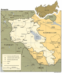
Armenia Map
Map of Armenia showing cities, roads and railways as well as international boundaries.
1021 miles away
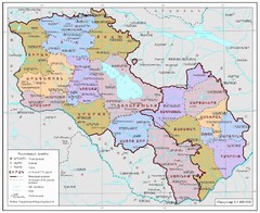
Map of Armenia and Nagorny Karabakh
Map of Armenian states - the Republic of Armenia and the Nagorno-Karabakh Republic
1021 miles away
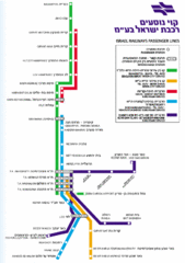
Israel Railways Map
Map of railway lines throughout countries
1021 miles away
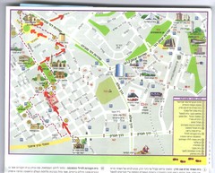
Beersheba City Map
Pictorial map of Beersheba with attractions and walking trail
1021 miles away
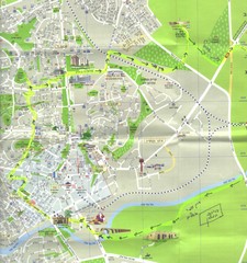
Beersheba City Map
Pictorial map of Beersheba
1021 miles away
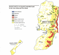
Gaza Strip and West Bank Jewish Land Use Map
1022 miles away
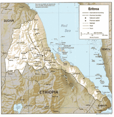
Eritrea in 1987 Map
1025 miles away
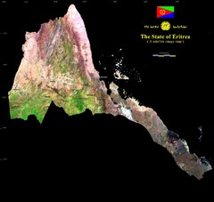
Eritrea Satellite Image Map
Eritrea photographed from space
1025 miles away
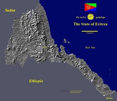
State of Eritrea Drainage and Elevation Map
Eritrea elevation map with drainage lines shown
1025 miles away
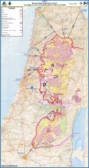
Israel Security Fence Route Map
Revised route of the Israel Security Fence around the West Bank as of Feb 2005
1026 miles away

Turkmenistan road Map
1027 miles away

Administrative Division of Armenia Map
Administrative Division of the Republic of Armenia
1028 miles away
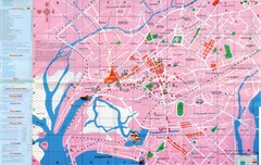
Karachi Map
1029 miles away
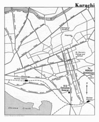
Karachi Pakistan City Map
City map of Karachi, Pakistan showing major roads and a few tourist sites and government buildings.
1030 miles away
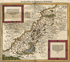
Munster’s Map of the Holy Land (1588)
Sebastian Munster's map of the Abrahamic Holy Land in 1588.
1030 miles away
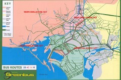
Karachi Bus Route Map
Bus routes and districts are clearly labeled.
1030 miles away
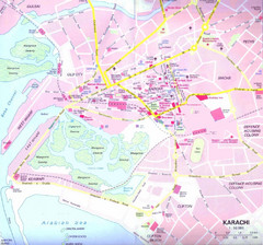
Karachi Road Map
1030 miles away
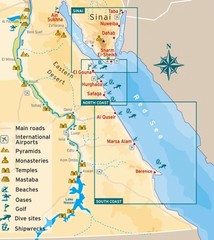
Eastern Egypt Tourist Map
1031 miles away

Armenia & Karabakh Map
Map of Armenian states - the Republic of Armenia and the Nagorno-Karabakh Republic
1031 miles away
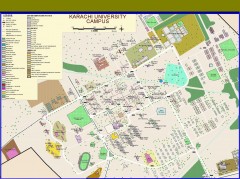
University of Karachi Map
Campus map of University of Karachi, Pakistan's largest public university. Shows all buildings...
1032 miles away
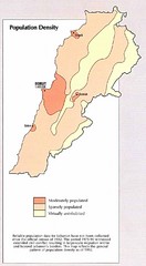
Lebanon Population Density Map
Map of Lebanon's population density
1032 miles away
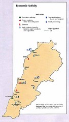
Lebanon Economic Activity Map
Map of Lebanon's economic activity
1032 miles away

