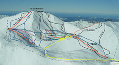
Mount Lyford Trail Map
Ski trail map of Mt. Lyford
3417 miles away
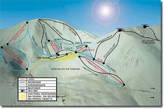
Mt. Lyford Ski Trail Map
Trail map from Mt. Lyford.
3421 miles away
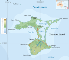
Chatham Island Map
3423 miles away
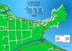
Kaikoura Town Map
3427 miles away
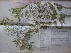
Mount Baw Baw Ski Trail Map
Trail map from Mount Baw Baw.
3427 miles away
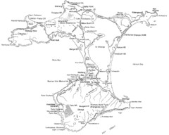
Chatham Island Map
3430 miles away
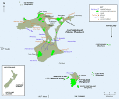
Chatham Island Map
3436 miles away
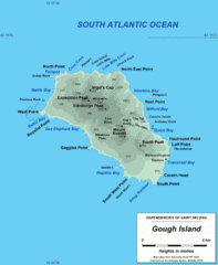
Gough Island Map
3436 miles away
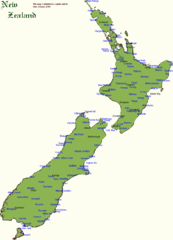
New Zealand Country Map
A New Zealand city and location guide map
3443 miles away
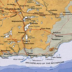
Esperance, Australia Tourist Map
A map of the Esperance region in Australia.
3447 miles away
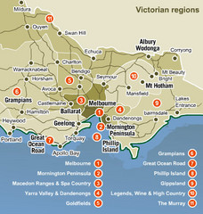
Victoria Map
Map of Victoria region with detail of districts
3447 miles away
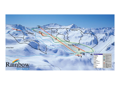
Rainbow Trail Map
Ski trail map of Rainbow ski area
3459 miles away
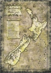
New Zealand Lord of the Rings Tourist map
Shows all film locations in New Zealand from the Lord of the Rings movie trilogy directed by Peter...
3463 miles away
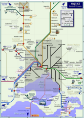
Central Victoria Rail Map
Map of rail system throughout Central Victoria region
3465 miles away
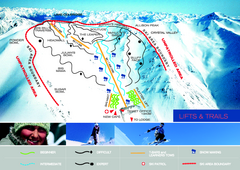
Porters Ski Trail Map
Trail map from Porters.
3470 miles away
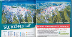
Mount Buller Ski Trail Map
Trail map from Mount Buller.
3475 miles away
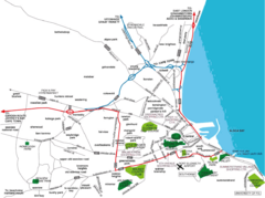
Port Elizabeth Street Map
Port Elizabeth, South Africa tourist map showing streets, shopping, parks and recreation.
3482 miles away
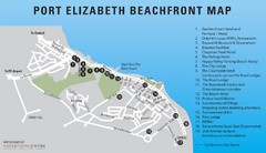
Port Elizabeth Beachfront Map
3482 miles away

Jeffreys Bay Map
Street map of Jeffreys Bay
3482 miles away

Jeffreys Bay Tourist Map
Tourist map of Jeffreys Bay (Jeffreysbaai), South Africa. Shows points of interest and has street...
3482 miles away
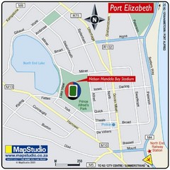
Nelson Mandela Bay Stadium, Port Elizabeth, South...
Location Map for Nelson Mandela Bay Stadium, Port Elizabeth, Eastern Cape, South Africa. 2010...
3484 miles away
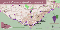
Wineries on Great Ocean Road, Australia Map
3487 miles away

Mount Hotham Ski Trail Map
Mount Hotham Alpine Resort ski trail map
3494 miles away
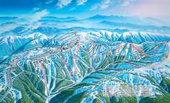
Mount Hotham Ski Trail Map
Trail map from Mount Hotham, which provides downhill, night, nordic, and terrain park skiing. It...
3494 miles away

Meningie, Australia Tourist Map
Map of a race in Meningie, Australia
3496 miles away
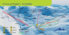
Mt. Dobson Ski Trail Map
Trail map from Mt. Dobson.
3497 miles away

Victor Harbor Map
Tourist map of Victor Harbor, Australia
3497 miles away

Tsitsikamma National Park Map
3499 miles away
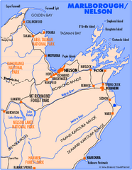
Nelson/Marlborough Map
Map of Nelson/Marlborough region with detail of towns and surrounding islands
3499 miles away
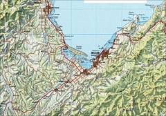
Nelson Topo Map
Shaded relief topo map of Nelson, New Zealand
3499 miles away
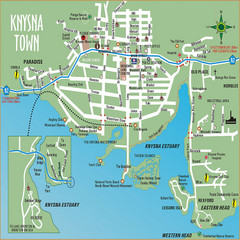
Knysna Town Map
Town map of Knysna, South Africa
3500 miles away
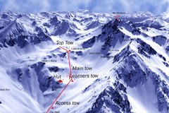
Mt. Olympus Ski Trail Map
Trail map from Mt. Olympus.
3501 miles away
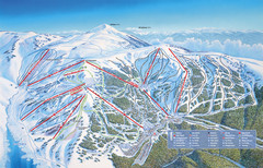
Falls Creek Ski Trail Map
Trail map from Falls Creek.
3503 miles away
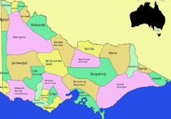
Victorian Aboriginal tribal and language areas Map
This is a map I created of aboriginal tribal territories and languages in Victoria, Australia...
3504 miles away
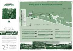
Wilderness National Park Map
3509 miles away
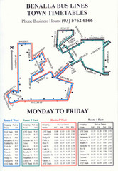
Benalla Bus Lines Map
Bus timetable and route map for town of Benalla
3510 miles away
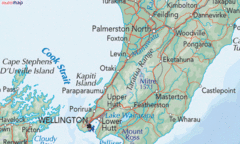
Kapiti Coast Map
3511 miles away
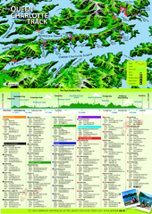
Queen Charlotte Track Map
Trail map of Queen Charlotte
3511 miles away

Kelburn Campus Map
Campus map of Kelburn, part of Victoria University of Wellington, New Zealand
3514 miles away
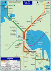
Wellington Rail Map
Rail map of Wellington's train system
3515 miles away

