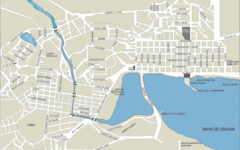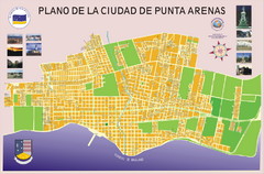
Kerguelen Island detail Map
2193 miles away
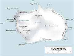
Bouvet Island Map
Map of Bouvet Island in the Southern Atlantic Ocean. Shows peaks and meteorological station.
2338 miles away
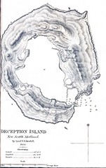
Deception Island Map
2388 miles away
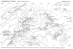
Livingston Island Map
2412 miles away
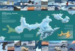
Livingston Island Ice Cover Map
L.L. Ivanov et al, Antarctica: Livingston Island, South Shetland Islands (from English Strait to...
2414 miles away
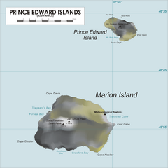
Prince Edward Island Map
Map of islands of South Africa
2499 miles away
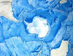
Ocean Floor Around Antarctica Map
Relief map of ocean floor around Antarctica
2508 miles away
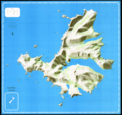
Campbell Island Map
2696 miles away
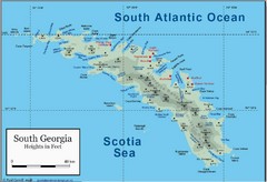
South Georgia and the South Sandwich Islands Map
Guide to the South Georgia and South Sandwich Islands, a British overseas territory and penguin...
2769 miles away
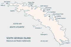
South Georgia Island Settlement Map
Shows historical and modern settlements on South Georgia Island
2773 miles away

Auckland Island Map
2786 miles away

Auckland Island Map
2791 miles away
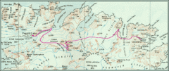
South Georgia Island Shackleton Route 1916 Map
Detailed view of South Georgia Island showing explorer Shackleton's 1916 overland route for...
2793 miles away
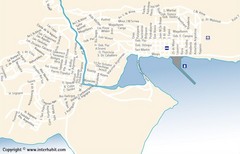
Ushuaia City Map
Street map of city
2989 miles away
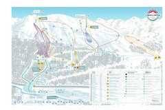
Cerro Castor Ski Trail Map
Trail map from Cerro Castor.
2990 miles away
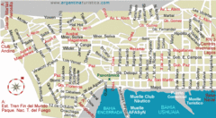
Ushuaia City Map
Streets and roads are labeled on map.
2990 miles away
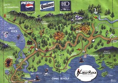
Tierra del Fuego National Park Camping Map
Map of campsites in Lago Roca area of park
3000 miles away
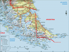
Southern Tip of South America Map
Shows Tierra del Fuego and other regions around the Strait of Magellan. Chile and Argentina.
3048 miles away
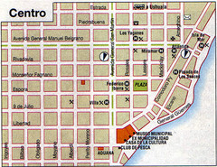
Rio Grande Centro Map
Street map of city center
3055 miles away
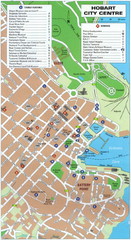
Hobart Tourist Map
Tourist map of the city center of Hobart, Tasmania. Shows tourist features and services.
3097 miles away
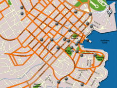
Hobart Hotel Map
3097 miles away
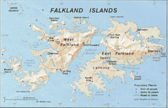
Falkland Islands Tourist Map
3132 miles away
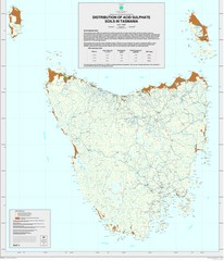
Tasmanian Soil Map
Distribution of Acid Sulphate Soils in Tasmania
3135 miles away
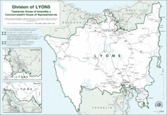
Lyons Political Divisions Map
3139 miles away
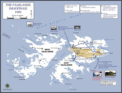
The Falklands War: 1982 Map
The Falklands War: 1982 British campaigns.
3140 miles away
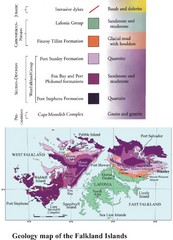
Falkland Islands Geology Map
Geology map of the Falkland Islands
3140 miles away
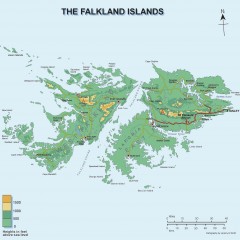
Falkland Islands Elevation Map
Color-coded elevation map of the Falkland Islands
3140 miles away
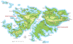
Falkland Islands Map
3141 miles away
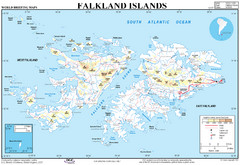
Falkland Islands Map
Overview elevation map of the Falkland Islands
3141 miles away
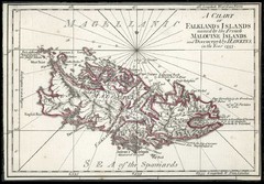
Falkland Islands 1593 Map
3143 miles away
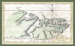
Falkland Islands 1760 Map
3143 miles away
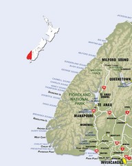
Fiordland Map
Map of Fiorland National Park region
3153 miles away
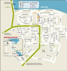
Te Anau Street Map
3158 miles away
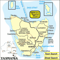
Tasmania Tourist Map
3163 miles away
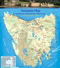
Tasmania Map
Detailed map of island of Tasmania, Australia. Shows National Parks. Scanned.
3163 miles away
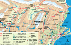
Otago Central Map
Otago map with detail of regional towns, rail station stops, and highways
3167 miles away
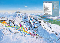
The Remarkables Ski Trail Map
Trail map from The Remarkables.
3188 miles away
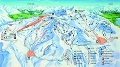
Cardrona Trail Map
3188 miles away

