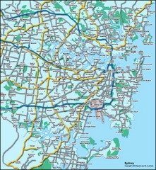
Sydney, Australia Tourist Map
3751 miles away
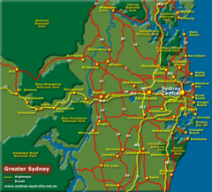
Greater Sydney, Australia Tourist Map
3751 miles away
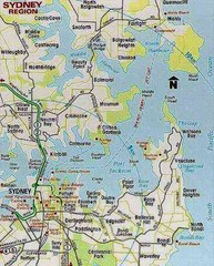
Sydney, Australia Region Tourist Map
3751 miles away
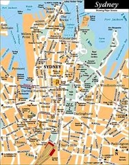
Sydney, Australia Tourist Map
3751 miles away
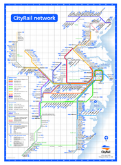
Sydney City Rail Network Map
Rail network map of Sydney, Australia.
3751 miles away
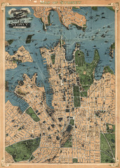
Robinson’s map of Sydney, Australia (1922)
Fun-looking and quite expertly-rendered overhead map of Australia's most populous city: Sydney...
3751 miles away
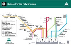
Sydney Ferries Map
Map of Sydney Ferry system with details of lines and stops
3751 miles away
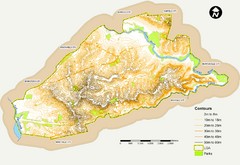
Canterbury Contour Map
The above map, which has lines marked to indicate points or areas that are the same elevation above...
3751 miles away
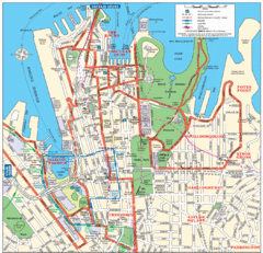
Sydney City Map
City Map of Sydney with tourist information
3751 miles away
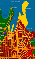
Sydney City Map
City map of Sydney: Kings Cross to Central
3751 miles away
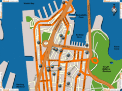
Sydney Hotel Map
3751 miles away
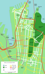
Sydney Central Business District Map
3751 miles away
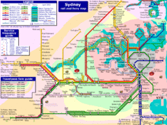
Sydney Rail and Ferry Map
Map of Sydney rail and ferry transit system
3751 miles away
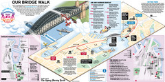
Sydney Harbour Bridge 75th Anniversary Walk Map
Map of Harbour Bridge 75th Anniversary Walk held on March 18, 2007
3751 miles away
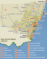
New South Wales Map
Map of New South Wales region with detail of districts
3751 miles away
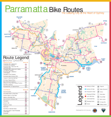
Parramatta Bike Route Map
3752 miles away
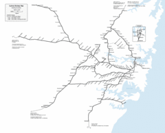
Sydney Railway Map
Sydney railway.
3752 miles away
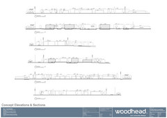
Woodhead Community Lifestyle Map
Elevation sections of the Blue Dolphin Joint Venture in North Sydney
3753 miles away
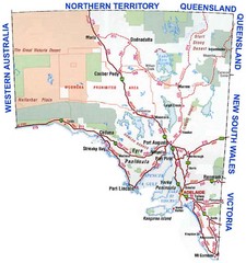
South Australian Map
3753 miles away
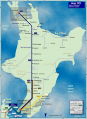
North Island Rail Map
Rail map of transit system throughout the North Island
3753 miles away
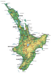
North Island Map
Map of North Island with cities detailed
3753 miles away
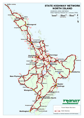
North Island State Highway Map
Map of state highway system throughout the North Island
3753 miles away
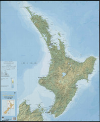
North Island New Zealand Map
3753 miles away
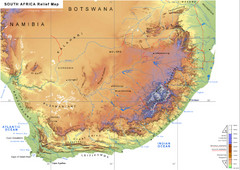
South Africa Physical Map
Physical map of South Africa
3754 miles away
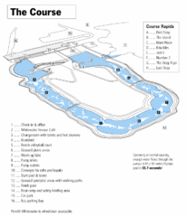
Penrith Whitewater Stadium Course Map
Whitewater rapids map of Penrith Whitewater Stadium, the competition venue for the canoe/kayak...
3755 miles away
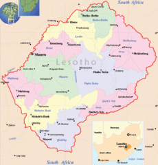
Lesotho Map
Cities, roads, provinces and borders are labeled on this map.
3755 miles away
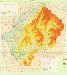
Lesotho Physical Map
Physical map of Lesotho. Shaded by elevation.
3755 miles away
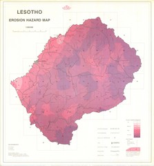
Lesotho Erosion Hazard Map
Guide to erosion in Lesotho
3755 miles away
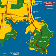
Manly Beach Map
3756 miles away
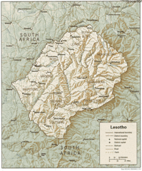
Lesotho Map
Guide to the African country of Lesotho
3757 miles away
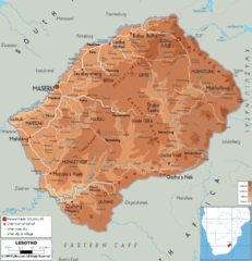
Lesotho physical Map
3758 miles away
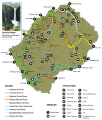
Lesotho tourism routes Map
3760 miles away
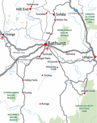
Bathurst District Map
Simple map marking the borders of Bathurst.
3761 miles away
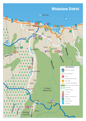
Whakatane District Map
Tourist map of Whakatane region
3762 miles away
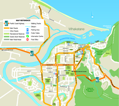
Whakatane Town Map
3764 miles away
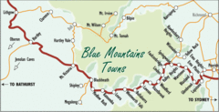
Blue Mountains' Towns Map
Simple map clearly marking each town in the Blue Mountain area.
3765 miles away
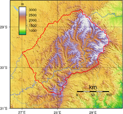
Lesotho topo Map
3765 miles away
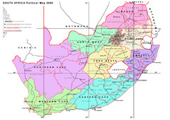
South Africa Political Map
A political map of South Africa with provinces, districts and their administrative centres.
3773 miles away
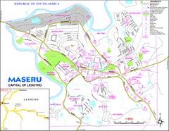
Maseru City Map
Map and legend of this Lesotho Capitol.
3781 miles away
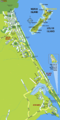
Waihi Beach Tourist Map
3790 miles away

