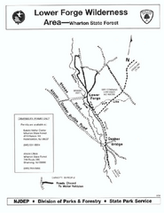
Lower Forge camp area map
Camp area map for the Lower Forge area in Wharton State Forest in New Jersey
73 miles away
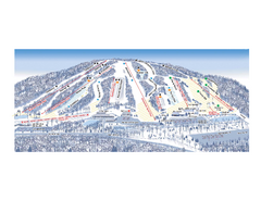
Ski Roundtop Ski Trail Map
Trail map from Ski Roundtop.
73 miles away

Milton State Park map
Detailed recreation map of Milton State Park in Pennsylvania
75 miles away
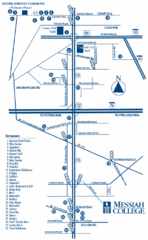
South Pennsylvania Restaurant Map
75 miles away

Ski Big Bear Ski Trail Map
Trail map from Ski Big Bear.
76 miles away
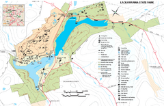
Lackawanna State Park Map
Detailed map of Lackawanna State Park in Pennsylvania.
76 miles away
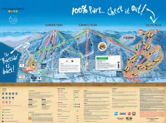
Mountain Creek Ski Trail Map
Official ski trail map of Mountain Creek ski area from the 2007-2008 season. (formerly Vernon...
76 miles away
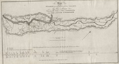
Wyoming and Lackawanna Valleys Map
Railbed from the coal mine at Carbondale to the canal on the Lackawaxen River. Historical map.
76 miles away

Mountain Creek South Ski Trail Map
Trail map from Mountain Creek.
77 miles away
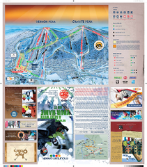
Mountain Creek North Ski Trail Map
Trail map from Mountain Creek.
77 miles away

Hidden Valley Ski Trail Map
Trail map from Hidden Valley.
78 miles away

Staten Island Subway/Railway Map
78 miles away
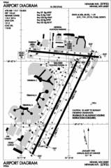
Newark Liberty International Airport Map
78 miles away
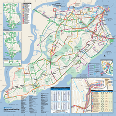
Staten Island Bus Map
Official Bus Map of Staten Island. Shows all routes.
78 miles away
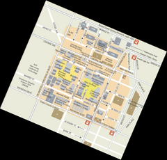
Rutgers University Map
78 miles away
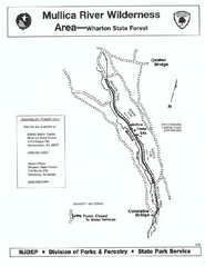
Mullica River camp area map
Camp area map for the Mullica River camp area in Wharton State Forest, New Jersey.
79 miles away
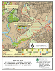
Staten Island Greenbelt Map
79 miles away
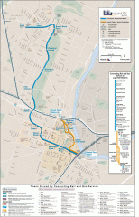
Newark Light Rail system Map
Newark Light rail system
79 miles away

Boyd Big Tree Preserve Conservation Area map
Detailed map of Boyd Big Tree Preserve Conservation Area in Pennsylvania.
80 miles away
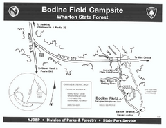
Bodine Field camp area map
Map of Bodine Field camp area in Wharton State Forest, New Jersey.
81 miles away
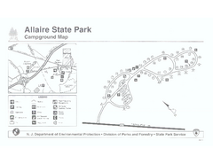
Allaire State Park campground map
Campground map for Allaire State Park in Vermont
82 miles away

Little Buffalo State Park map
Detailed map of Little Buffalo State Park in Pennsylvania.
82 miles away
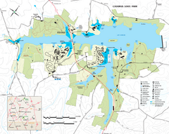
Codorus State State Park map
Detailed recreation map for Codorus State Park in Pennsylvania
82 miles away
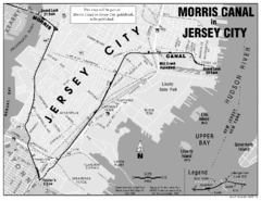
Jersey City Map
83 miles away
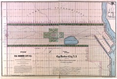
Antique map of Egg Harbor City from 1857
Antique map of Egg Harbor City, New Jersey from 1857.
83 miles away
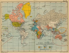
Colonial Posessions and Commercial Highways 1910...
Historical world map (1910) of various colonization and highway expansion
84 miles away
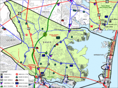
Tom's River, New Jersey City Map
84 miles away
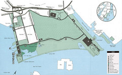
Liberty State Park Map
Map of Liberty State Park, New Jersey on the New York Harbor and next to Ellis Island. Shows...
84 miles away
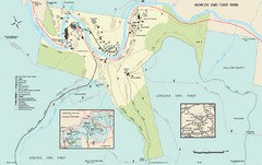
Worlds End State Park map
Detailed recreation map for Worlds End State Park in Pennsylvania
84 miles away
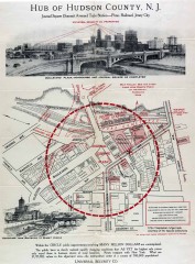
Antique map of Jersey City from 1925
Antique map of Jersey City, New Jersey from 1925.
84 miles away
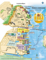
Jersey City, New Jersey City Map
Sketch of Jersey City and Hoboken, New Jersey
85 miles away
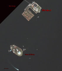
Ellis Island and Statue of Liberty Map
Aerial map of Ellis Island and the Statue of Liberty
85 miles away
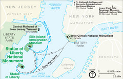
Statue of Liberty National Monument Map
Official NPS map of Statue of Liberty National Monument. Shows Statue of Liberty, Ellis Island, and...
85 miles away
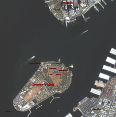
Governor's Island Map
Aerial photo view map of Governor's Island, New York
86 miles away
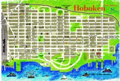
Hoboken Walking Tour map
Walking tour map of Hoboken, NJ. Shows points of interest.
86 miles away
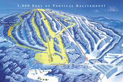
Elk Mountain Ski Trail Map
Trail map from Elk Mountain.
86 miles away
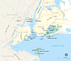
Gateway National Recreation Area Map
Park map of lands in the NPS Gateway National Recreation Area in New York and New Jersey. Shows...
86 miles away
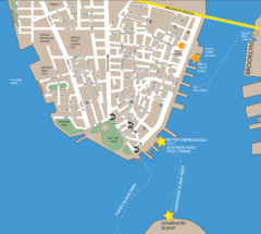
Lower Manhattan Area Map
86 miles away
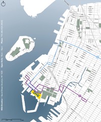
IKEA Brooklyn Map
Location map and map of bus routes and access streets to IKEA in Brooklyn, NY.
86 miles away
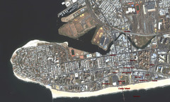
Coney Island Map
Aerial photo Coney Island map
86 miles away

