
Ole Bull State Park Map
Detailed recreation map of Ole Bull State Park in Pennsylvania
65 miles away
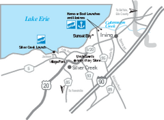
Silver Creek and Irving Map
Tourist map of Silver Creek and Irving, New York. Shows shops, boat ramps, and marinas.
66 miles away
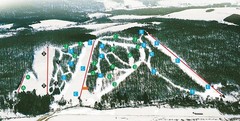
Cockaigne Ski Resort Ski Trail Map
Trail map from Cockaigne Ski Resort.
68 miles away

Bucktail State Park Natural Area map
Detailed map of Bucktail State Park Natural Area in Pennsylvania
69 miles away

Cornell University Map
70 miles away
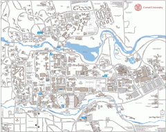
Cornell Campus Map
Map of Cornell University's Ithaca campus
70 miles away
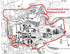
Map of Water contamination at Cornell University...
71 miles away
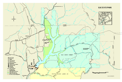
Elk State Park map
Detailed map of Elk State Park in Pennsylvania.
71 miles away
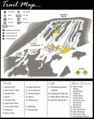
Ski Sawmill Ski Trail Map
Trail map from Ski Sawmill.
72 miles away
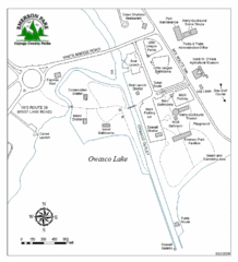
Emerson Park Map
73 miles away

Niagara Falls Map
Photographic Map of Niagara Falls - tourist / visitor information.
75 miles away
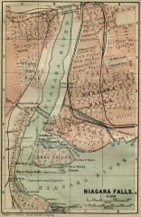
Antique map of Niagara Falls from 1894
"Niagara Falls" from Baedeker, Karl. The Dominion of Canada with Newfoundland and an...
75 miles away
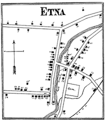
Etna 1897 City Map
Key to the Map of Etna (1897) 1. Mrs. C. Turner. 38. Blacksmith Shop. 2. J. T. Primrose. 39. Houtz...
75 miles away
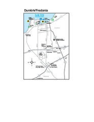
Dunkirk and Fredonia, New York Map
Tourist map of Dunkirk, New York, and Fredonia, New York. Shows shops, parks, lodging and other...
75 miles away

Kettle Creek State Park Map
Detailed map of Kettle Creek State Park in Pennsylvania.
75 miles away
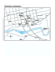
Downtown Jamestown Map
Tourist map of Downtown Jamestown, New York. Shows shops, parking, cinemas, hotels, and government...
76 miles away

Mt. Pisgah State Park map
Detailed recreation map for Mt Pisgah State Park in Pennsylvania
76 miles away

Bendigo State Park map
Detailed map of Bendigo State Park in Pennsylvania
76 miles away
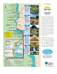
Niagara Garden Trail Map
Tourist map of attractions along the Garden Trail along the Canadian side of the St. Lawrence River...
76 miles away
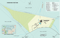
Hyner Run State Park map
Detailed recreation map for Hyner Run State Park in Pennsylvania
77 miles away

Marcellus Snowmobile Trail Map
Map of snowmobile trails throughout Marcellus area
79 miles away
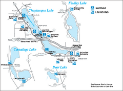
Marinas and Boat Ramps on Chautauqua and...
Recreation map of Chautauqua, Findley, Cassadaga, and Bear Lakes, New York. Shows marinas and boat...
80 miles away
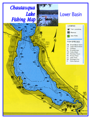
Southern Chautauqua Lake Fishing Map
Fishing map of southern Chautauqua Lake, New York. Shows marinas, boat ramps, state parks and fish...
80 miles away
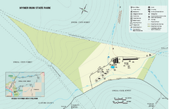
Hyner View State Park map
Detailed map of Hyner View State Park in Pennsylvania
80 miles away

1978 Bradford County, Pennsylvania Map
80 miles away
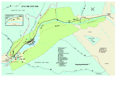
Little Pine State Park Map
Detailed recreation map for Little Pine State Park in Pennsylvania
80 miles away
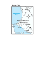
Bemus Point Map
Tourist map of Bemus Point, NY. Shows lodging, parks, shops, restaurants, and other points of...
81 miles away
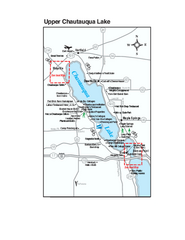
Upper Chautauqua Lake Map
Tourist map of upper Chautauqua Lake, New York. Shops, lodging, and other points of interest in the...
83 miles away
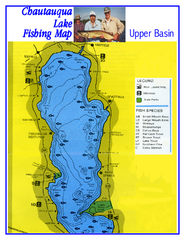
North Chautauqua Lake Fishing Map
Fishing map of northern Chautauqua Lake, New York. Shows marinas, boat ramps, state parks, and...
84 miles away

Chapman State Park map
Detailed map of Chapman State Park in Pennsylvania
84 miles away
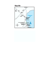
Downtown Mayville Map
Tourist map of Downtown Mayville, New York. Shows museums, restaurants, shops, government buildings...
86 miles away

Greek Peak Ski Resort Ski Trail Map
Trail map from Greek Peak Ski Resort.
87 miles away
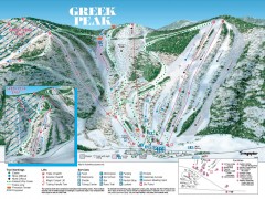
Greek Peak Ski Trail Map
Official ski trail map of Greek Peak ski area from the 2006-2007 season.
87 miles away
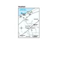
Westfield Map
Tourist map of Westfield, New York, and surrounding area. Shows shops, museums, boat ramps and...
89 miles away

Song Mountain Ski Trail Map
Trail map from Song Mountain.
89 miles away
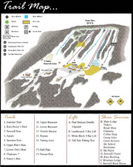
Ski Sawmill Family Resort Trail Map
Map shows trails, lifts and skier services.
92 miles away
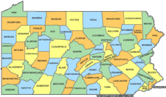
Pennsylvania Counties Map
94 miles away
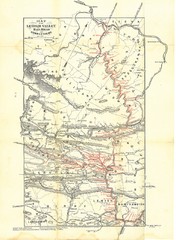
Lehigh Valley Railroad Historical Map
Built in 1846, this railroad was built primarily to haul coal. It was also known as the Route of...
94 miles away
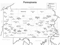
Pennsylvania Airports Map
94 miles away
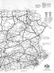
Eastern Pennsylvania Road Map
94 miles away

