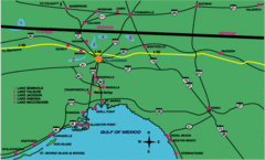
Tallahassee Freeway Map
Freeways and road leading to and from Tallahassee.
259 miles away
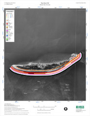
Ship Island Map
259 miles away
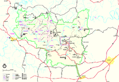
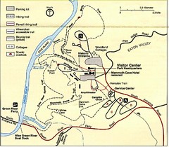
Mammoth Cave National Park Official Park Map
Official NPS map of Mammoth Cave National Park in Kentucky. Most of the park's resources and...
260 miles away
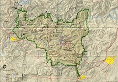
Mammoth Cave National Park Map
Visitor Center Area Map and Park Map. Topographical map that shows parameters of the park as well...
261 miles away
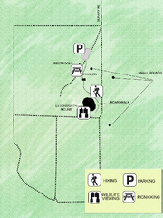
Letchworth-Love Mounds Map
Map of park with detail of trails and recreation zones
261 miles away
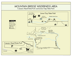
Mountain Bridge Wilderness Area Map
Map and legend marking bathrooms, picnic sites, trails and more.
262 miles away

Panoramic View of the Reserve Map
Panoramic map of the view northeast from 'Gladiola Ridge' in Brevard, North Carolina.
262 miles away
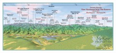
Northwest Reserve Panorama Map
Panoramic Map of the view Northwest from the Reserve in Brevard, North Carolina.
262 miles away

Map of Southern Blue Ridge Escarpment
Map of the Nature Conservancy's Southern Blue Ridge Escarpment project area showing protected...
262 miles away
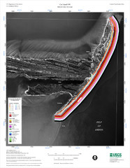
Cat Island Map
Cat Island NW Coastal Classification
262 miles away
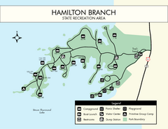
Hamilton Branch State Park Map
Simple state park map.
264 miles away
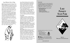
Lake Poinsett State Park Map
Map of Lake Poinsett State Park showing Great Blue Heron Trail , boat ramps and park amenities.
264 miles away

The Reserve Shaded Relief Map
This map is a shaded relief property map of The Reserve in North Carolina with survey boundaries...
265 miles away

Central Kentucky Trail Map
266 miles away
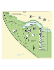
Edward Ball Wakulla Springs State Park Map
Map of park with detail of trails and recreation zones
268 miles away
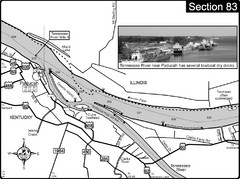
Ohio River & Tennessee River at Paducah, KY...
This is a page from the Ohio River Guidebook. The map shows important information for boaters and...
268 miles away
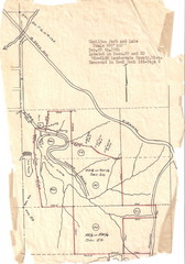
Hamilton Park and Lake Map
flood maps, elevation, survey map for Hamilton Park in Lauderdale County, Miss.
268 miles away
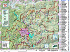
DuPont State Forest Trail map
Trail map of DuPont State Forest. Shows all trails with mileages. From dupontforest.com: "...
269 miles away
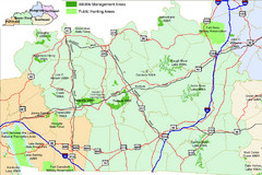
Green River Area Hunting Map
Map marking highways, forests, parks and hunting zones in Kentucky's beautiful Green River...
270 miles away
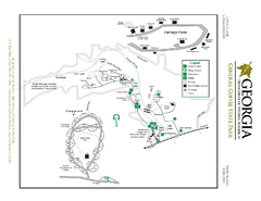
General Coffee State Park Map
Map of park with detail of trails and recreation zones
270 miles away
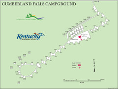
Cumberland Falls Map
270 miles away

Transylvania County Tourism Development Map
Transylvania County tourist map, showing all points of interest including hiking and picnic areas.
271 miles away
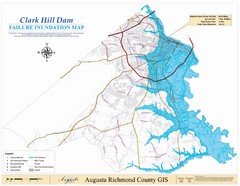
Richmond County Failure Inundation Map
Map of the flood water failure inundation of Augusta Richmond county, Georgia. Includes detailed...
271 miles away
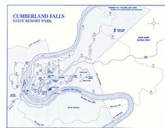
Cumberland Falls State Resort Park Map
Cumberland Falls Park Area Map
271 miles away
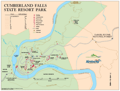
Cumberland Falls State Resort Park map
Detailed recreation map for Cumberland Falls State Resort Park in Kentucky
271 miles away
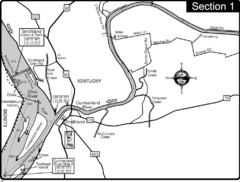
Smithland, KY Cumberland & Ohio Rivers Map
This is the mouth (end) of the Cumberland River as it pours into the Ohio River after flowing 695...
271 miles away
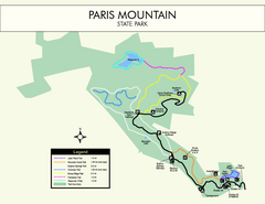
Paris Mountain State Park Map
Clearly labeled map of this beautiful state park.
272 miles away
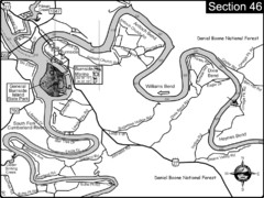
Burnside, KY-Cumberland River Map
Burnside, Kentucky is located at the fork of the Cumberland River and the South Fork. This is...
273 miles away
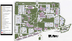
Augusta State University Map
Campus map
274 miles away
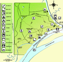
Ochlockonee River State Park Map
Map of park with detail of trails and recreation zones
275 miles away
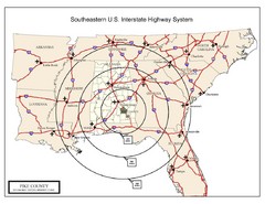
Southeastern U.S. Map
276 miles away
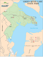
Green River Lake State Park Map
Map of trails and facilities in Green River Lake State Park.
276 miles away
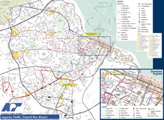
Augusta Public Transit Routes Map
Transit Route Map of the town of Augusta. Includes all streets, some important buildings, and a...
276 miles away

MCG Health System--Medical College of Georgia...
Color-coded map of all buildings on the Medical College of Georgia associated with the MCG Health...
276 miles away

Asheville School Campus map
Map of the 300-acre campus of Asheville School, a private boarding school for grades 9-12 with...
278 miles away
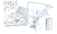
George L. Smith State Park Map
Map of park with detail of trails and recreation zones
278 miles away
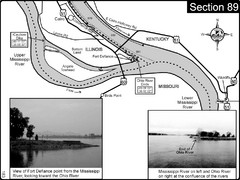
Ohio River at Cairo, IL and the Mississippi River...
The Ohio River ends at it's confluence with the Mississippi River at mile 981. This is a page...
279 miles away
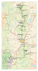
Asheville, North Carolina Parkway Map
280 miles away
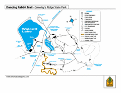
Dancing Rabbit Trail - Crowley's Ridge State...
Trail Map for Dancing Rabbit Trail in Crowley's Ridge State Park showing Walcott Lake, hiking...
281 miles away

