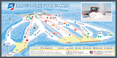
Paoli Peaks Ski Trail Map
Trail map from Paoli Peaks, which provides downhill, night, and terrain park skiing. It has 8 lifts...
353 miles away
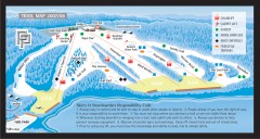
Paoli Peaks Ski Trail Map
Official ski trail map of Paoli Peaks ski area from the 2007-2008 season.
353 miles away
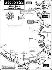
Petersburg, IN White River West Fork Map
This is a page from the White River Guidebook. The map shows important information for boaters and...
354 miles away
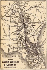
1913 Georgia Southern & Florida Railway Map
354 miles away
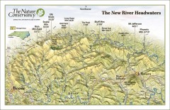
New River Headwaters Panorama Map
This panoramic map of the New River Headwaters area in North Carolina highlights TNC conservation...
354 miles away
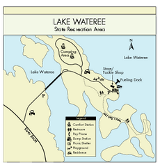
Lake Wateree State Park Map
Clear map of State Park.
355 miles away
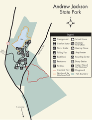
Andrew Jackson State Park Map
Clear and legible park map and legend.
355 miles away

Piney Creek Ravine, Illinois Site Map
355 miles away
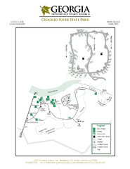
Crooked River State Park Map
Map of park with detail of trails and recreation zones
356 miles away
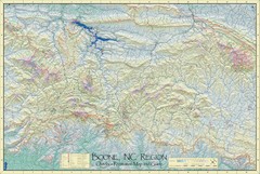
Boone, NC Outdoor Recreation Map
Guide to Boone, NC region
356 miles away
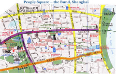
Bund Shanghai Tourist Map
357 miles away
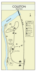
Colleton State Park Map
Detailed map and map legend of this beautiful state park.
357 miles away
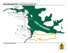
Lake Catherine State Park Trails Map
Hiking Trail map for Lake Catherine State Park also showing overview of the lake and park...
359 miles away
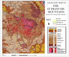
St. Francois Mountains Geologic Map
Map displaying the geology of the St. Francois Mountains in Missouri. Taken from the 1979 "...
359 miles away
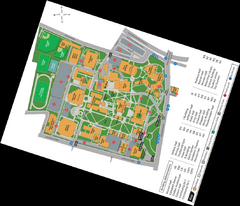
Queen's College Map
360 miles away
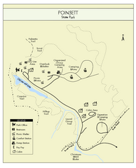
Poinsett State Park Map
Map and legend for this wonderful state park, marking bathrooms, camping grounds, roads, and more.
360 miles away

Randolph County State Park, Illinois Site Map
360 miles away

Charlotte, North Carolina City Map
360 miles away
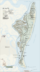
Cumberland Island National Seashore Map
Official NPS map of Cumberland Island National Seashore, Cumberland Island, Georgia. Rated #4...
360 miles away
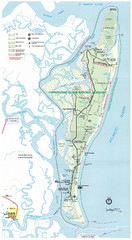
Cumberland Island Map
Map of Cumberland Island, including hiking trails and campgrounds
360 miles away
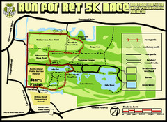
Hilton Head Run for Ret 5K Race Course Map
Hilton Head Island Run for Ret 5K Race Course, Aug 30, 2008.
360 miles away
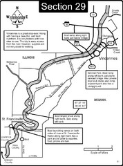
Vincennes, IN/ St. Francisville, IL Wabash River...
This is a page from the Wabash River Guidebook. The map shows important information for boaters and...
361 miles away
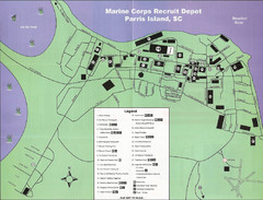
Parris Island Marine Corps Recruit Depot Map
Map of the Parris Island Marine Corps Recruit Depot near Beaufort, South Carolina. Shows...
362 miles away
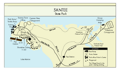
Santee State Park Map
Clear state park map.
362 miles away
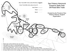
San Felasco Hammock Preserve State Park Bike...
Map of bike trails throughout preserve
362 miles away
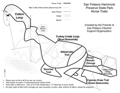
San Felasco Hammock Preserve State Park Horse...
Map of horse trails throughout preserve
363 miles away
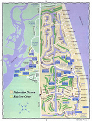
Palmetto Dunes Map
363 miles away
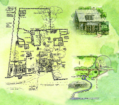
Dudley Farm Historic State Park Map
Map of park with detail of historical monuments
363 miles away
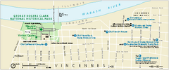
George Rogers Clark National Historical Park...
Official NPS map of George Rogers Clark National Historical Park in Indiana. Map shows all areas...
363 miles away

Vicennes and Knox County Indiana Visitor Map
Street map of Vicennes with maps of the entire state and county as well.
363 miles away
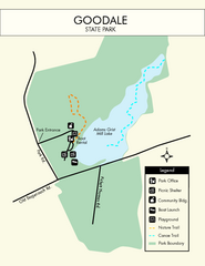
Goodale State Park Map
Easy to read state park map.
364 miles away
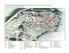
Florida International University at Biscayne...
364 miles away
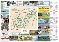
Ashe County Attractions Map
Ashe County Attractions
364 miles away
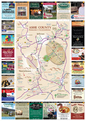
Ashe County Restaurant Map
Ashe County Restaurant Map
364 miles away
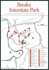
Breaks Interstate Park Map
Clear park map and legend.
365 miles away
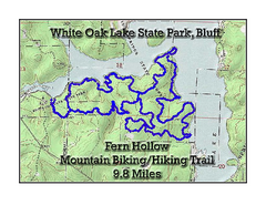
Fern Hollow Trail - White Oak Lake State Park...
Topographical Map of Fern Hollow Mountain Biking and Hiking Trail in White Oak Lake State Park.
365 miles away
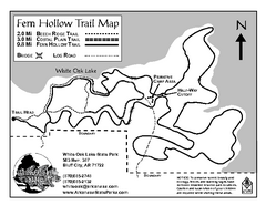
White Oak Lake State Park Trail Map
Trail Map for White Oak Lake State Park.
365 miles away
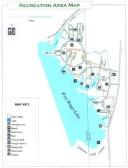
West Boggs Park Map
365 miles away
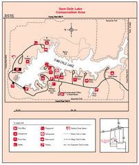
Sam Dale Lake, Illinois Site Map
365 miles away
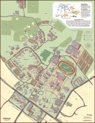
Davidson College Campus Map
Clear map of Davidson College.
366 miles away

